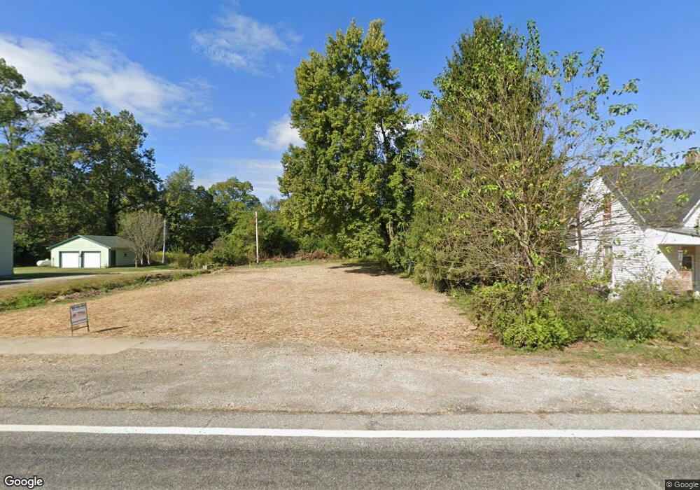
7865 State Route 177 Camden, OH 45311
Estimated Value: $84,000 - $165,000
4
Beds
2
Baths
1,984
Sq Ft
$70/Sq Ft
Est. Value
About This Home
This home is located at 7865 State Route 177, Camden, OH 45311 and is currently estimated at $138,204, approximately $69 per square foot. 7865 State Route 177 is a home with nearby schools including Miller Heights Elementary School, Hollingsworth East Elementary School, and William Bruce Elementary School.
Ownership History
Date
Name
Owned For
Owner Type
Purchase Details
Closed on
Nov 18, 2024
Sold by
Preble County Land Reutilization Corpora
Bought by
Gayhart Larry
Current Estimated Value
Purchase Details
Closed on
Sep 17, 2001
Sold by
Phillips Thomas
Bought by
Blake Timothy and Blake Linda L
Home Financials for this Owner
Home Financials are based on the most recent Mortgage that was taken out on this home.
Original Mortgage
$68,000
Interest Rate
7.03%
Mortgage Type
New Conventional
Purchase Details
Closed on
Jul 29, 1994
Sold by
Feaster Joseph
Bought by
Thomas H Phillips
Home Financials for this Owner
Home Financials are based on the most recent Mortgage that was taken out on this home.
Original Mortgage
$28,000
Interest Rate
8.41%
Mortgage Type
New Conventional
Create a Home Valuation Report for This Property
The Home Valuation Report is an in-depth analysis detailing your home's value as well as a comparison with similar homes in the area
Home Values in the Area
Average Home Value in this Area
Purchase History
| Date | Buyer | Sale Price | Title Company |
|---|---|---|---|
| Gayhart Larry | -- | Freedom Title | |
| Gayhart Larry | -- | Freedom Title | |
| Gayhart Larry | -- | Freedom Title | |
| Blake Timothy | $68,000 | -- | |
| Thomas H Phillips | $17,000 | -- |
Source: Public Records
Mortgage History
| Date | Status | Borrower | Loan Amount |
|---|---|---|---|
| Previous Owner | Blake Timothy | $68,000 | |
| Previous Owner | Thomas H Phillips | $28,000 |
Source: Public Records
Tax History Compared to Growth
Tax History
| Year | Tax Paid | Tax Assessment Tax Assessment Total Assessment is a certain percentage of the fair market value that is determined by local assessors to be the total taxable value of land and additions on the property. | Land | Improvement |
|---|---|---|---|---|
| 2024 | $113 | $2,420 | $2,420 | $0 |
| 2023 | $113 | $35,040 | $2,420 | $32,620 |
| 2022 | $1,032 | $32,410 | $1,540 | $30,870 |
| 2021 | $1,083 | $32,410 | $1,540 | $30,870 |
| 2020 | $1,043 | $32,410 | $1,540 | $30,870 |
| 2019 | $625 | $21,560 | $1,470 | $20,090 |
| 2018 | $642 | $21,560 | $1,470 | $20,090 |
| 2017 | $518 | $21,560 | $1,470 | $20,090 |
| 2016 | $569 | $20,760 | $1,470 | $19,290 |
| 2014 | $577 | $20,760 | $1,470 | $19,290 |
| 2013 | $577 | $20,755 | $1,470 | $19,285 |
Source: Public Records
Map
Nearby Homes
- 6244 Watt Rd
- 5829 Watt Rd
- 7897 4 Mile State Line Rd
- 5722 E Township Line Rd
- 0 Valhalla Cove Unit 941078
- 314 Lakengren Dr
- 200 Finland Dr
- 127 Voyage Dr
- 8961 Walnut St
- 120 Valhalla Dr
- 250 Lakengren Dr
- 162 Hatchet Dr
- 212 Shideler St
- 515 Liberty Ave
- 106 County Line Rd
- 4 Main St
- 4122 E Solar Dr
- 125 Saxon Dr
- 7855 State Route 177
- 7887 State Route 177
- 7841 State Route 177
- 7862 State Route 177
- 7884 State Route 177
- 7838 State Route 177
- 7819 State Route 177
- 7820 State Route 177
- 7820 Oh-177
- 8015 State Route 177
- 7803 State Route 177
- 7870 High St
- 7882 Cherry St
- 7808 State Route 177
- 7926 State Route 177
- 7822 State Route 177
- 7767 N Main St
- 7777 St Rt 177
- 7777 State Route 177
- 7801 Center St