787 Barker Ln Martinsville, IN 46151
Estimated Value: $589,000 - $979,000
4
Beds
5
Baths
6,030
Sq Ft
$137/Sq Ft
Est. Value
About This Home
This home is located at 787 Barker Ln, Martinsville, IN 46151 and is currently estimated at $823,184, approximately $136 per square foot. 787 Barker Ln is a home located in Morgan County with nearby schools including Martinsville High School.
Ownership History
Date
Name
Owned For
Owner Type
Purchase Details
Closed on
Jun 10, 2009
Sold by
Mullins Timothy R
Bought by
Wolowec Victor and Wolowec Deborah G
Current Estimated Value
Home Financials for this Owner
Home Financials are based on the most recent Mortgage that was taken out on this home.
Original Mortgage
$43,590
Outstanding Balance
$27,630
Interest Rate
4.83%
Mortgage Type
Credit Line Revolving
Estimated Equity
$795,554
Create a Home Valuation Report for This Property
The Home Valuation Report is an in-depth analysis detailing your home's value as well as a comparison with similar homes in the area
Home Values in the Area
Average Home Value in this Area
Purchase History
| Date | Buyer | Sale Price | Title Company |
|---|---|---|---|
| Wolowec Victor | -- | None Available |
Source: Public Records
Mortgage History
| Date | Status | Borrower | Loan Amount |
|---|---|---|---|
| Open | Wolowec Victor | $43,590 |
Source: Public Records
Tax History Compared to Growth
Tax History
| Year | Tax Paid | Tax Assessment Tax Assessment Total Assessment is a certain percentage of the fair market value that is determined by local assessors to be the total taxable value of land and additions on the property. | Land | Improvement |
|---|---|---|---|---|
| 2024 | $3,890 | $656,900 | $104,700 | $552,200 |
| 2023 | $4,106 | $678,200 | $104,700 | $573,500 |
| 2022 | $3,901 | $670,600 | $104,700 | $565,900 |
| 2021 | $2,900 | $531,500 | $58,900 | $472,600 |
| 2020 | $2,534 | $484,200 | $58,900 | $425,300 |
| 2019 | $2,421 | $430,600 | $58,900 | $371,700 |
| 2018 | $2,169 | $402,000 | $58,900 | $343,100 |
| 2017 | $1,911 | $374,100 | $58,900 | $315,200 |
| 2016 | $1,998 | $374,100 | $58,900 | $315,200 |
| 2014 | $1,667 | $375,600 | $58,900 | $316,700 |
| 2013 | -- | $379,300 | $58,900 | $320,400 |
Source: Public Records
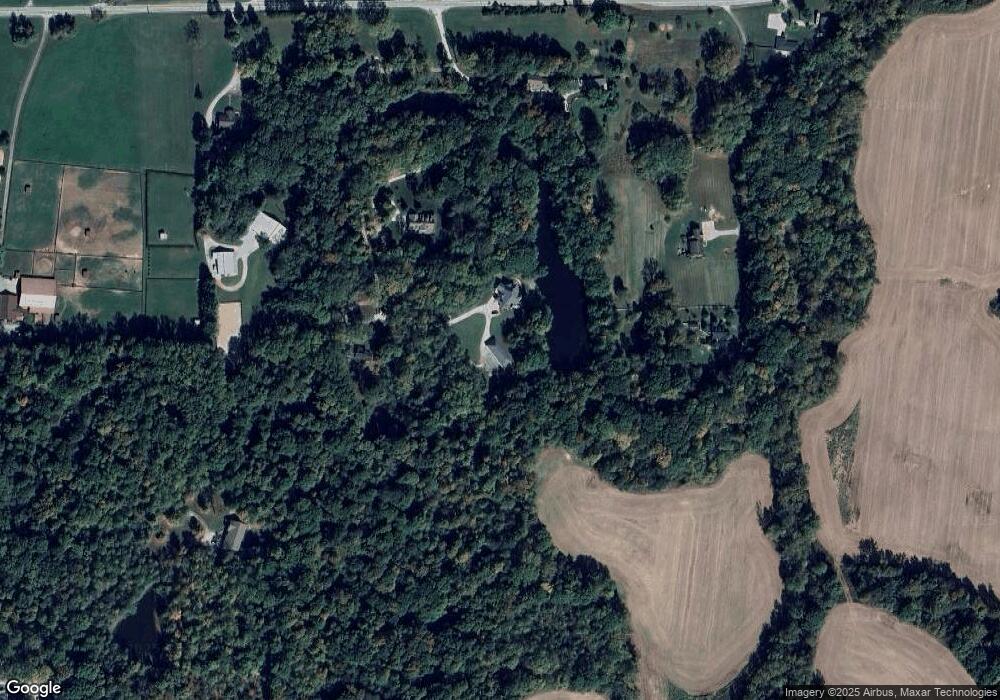
Map
Nearby Homes
- 600 Old Moore Rd
- 4418 E Centennial Crest Dr
- 0 Old Moore Rd
- 4262 State Road 44
- 911 Centennial Rd
- 1156 Cope Rd
- 583 Old Moore Ln
- 3395 State Road 44
- TBD Maple Grove Rd
- 0 Rembrandt East Dr Unit MBR22067693
- 4320 C S R 252
- 0 S Cove Rd
- 0 S Cove Rd Unit MBR22048618
- 3109 E Indian Summer Ln
- 4523 E Parkwood Dr
- 4194 E West Point Ct
- 0 E Parkwood Dr Unit MBR22044924
- 0 Dynasty Ridge Rd
- 0 E Oro Ln
- 2925 Morgan Trail
- 788 Barker Ln
- 879 Barker Ln
- 772 Brill Ln
- 808 Brill Ln
- 4855 Indiana 44
- 958 Barker Ln
- 960 Barker Ln
- 755 Saint John Rd
- 755 St John Rd
- 4855 State Road 44
- 5055 State Road 44
- 4862 State Road 44
- 4845 State Road 44
- 5040 State Road 44
- 4848 State Road 44
- 4860 State Road 44
- 4848 Indiana 44
- 795 Saint John Rd
- 4940 State Road 44
- 425 Saint John Rd