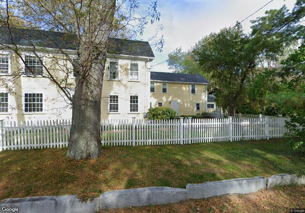
787 Concord Rd Sudbury, MA 01776
Estimated Value: $1,198,602 - $1,340,000
4
Beds
3
Baths
2,964
Sq Ft
$428/Sq Ft
Est. Value
About This Home
This home is located at 787 Concord Rd, Sudbury, MA 01776 and is currently estimated at $1,267,401, approximately $427 per square foot. 787 Concord Rd is a home located in Middlesex County with nearby schools including Josiah Haynes Elementary School, Ephraim Curtis Middle School, and Lincoln-Sudbury Regional High School.
Ownership History
Date
Name
Owned For
Owner Type
Purchase Details
Closed on
May 31, 2022
Sold by
Gibowicz Julie and Gibowicz Joseph C
Bought by
Gibowicz Ft
Current Estimated Value
Purchase Details
Closed on
May 20, 2004
Sold by
Mighdoll Phillip and Dubman Sheila B
Bought by
Gibowicz Joseph C and Gibowicz Julie
Home Financials for this Owner
Home Financials are based on the most recent Mortgage that was taken out on this home.
Original Mortgage
$500,000
Interest Rate
5.75%
Mortgage Type
Purchase Money Mortgage
Purchase Details
Closed on
Jun 19, 1995
Sold by
Skulte Edmund and Skulte Jacqueline A
Bought by
Mighdoll Phillip and Dubman Sheila B
Create a Home Valuation Report for This Property
The Home Valuation Report is an in-depth analysis detailing your home's value as well as a comparison with similar homes in the area
Home Values in the Area
Average Home Value in this Area
Purchase History
| Date | Buyer | Sale Price | Title Company |
|---|---|---|---|
| Gibowicz Ft | -- | None Available | |
| Gibowicz Joseph C | $730,000 | -- | |
| Mighdoll Phillip | $385,875 | -- |
Source: Public Records
Mortgage History
| Date | Status | Borrower | Loan Amount |
|---|---|---|---|
| Previous Owner | Mighdoll Phillip | $315,000 | |
| Previous Owner | Gibowicz Joseph C | $500,000 | |
| Previous Owner | Mighdoll Phillip | $80,000 | |
| Previous Owner | Mighdoll Phillip | $310,000 |
Source: Public Records
Tax History
| Year | Tax Paid | Tax Assessment Tax Assessment Total Assessment is a certain percentage of the fair market value that is determined by local assessors to be the total taxable value of land and additions on the property. | Land | Improvement |
|---|---|---|---|---|
| 2025 | $15,671 | $1,070,400 | $452,800 | $617,600 |
| 2024 | $15,111 | $1,034,300 | $440,000 | $594,300 |
| 2023 | $13,633 | $864,500 | $408,400 | $456,100 |
| 2022 | $12,563 | $696,000 | $376,000 | $320,000 |
| 2021 | $13,277 | $705,100 | $376,000 | $329,100 |
| 2020 | $12,732 | $690,100 | $376,000 | $314,100 |
| 2019 | $12,360 | $690,100 | $376,000 | $314,100 |
| 2018 | $12,289 | $685,400 | $400,000 | $285,400 |
| 2017 | $11,247 | $634,000 | $381,200 | $252,800 |
| 2016 | $10,988 | $617,300 | $367,200 | $250,100 |
| 2015 | $10,528 | $598,200 | $353,600 | $244,600 |
| 2014 | $10,573 | $586,400 | $343,600 | $242,800 |
Source: Public Records
Map
Nearby Homes
- 8-10 Concord Road (&356 Bostonpost)
- 1B Quaboag Valley Co-Op St
- Lot 5 Sailaway Ln
- Lot 4 Sailaway Ln
- 2 Betts Way
- 8 Mina Way
- Lot 9 Sailaway Ln
- 35 Mt Alworth Rd
- 4 Betts Way
- 401 Emery Ln Unit 304
- 108 Hawks Perch Unit 108
- 42 Dakin Rd
- 56 Rookery Ln Unit 4
- 2 Skyview Ln
- 40 Rookery Ln Unit 5
- 72 Rookery Ln Unit 3
- 26 Field Rd
- 32 Bolton St
- 427 Concord Rd
- 26 Clark Rd
- 17 Twin Pond Ln
- 788 Concord Rd
- 798 Concord Rd
- 14 Twin Pond Ln
- 799 Concord Rd
- 780 Concord Rd
- 23 Twin Pond Ln
- 20 Twin Pond Ln
- 802 Concord Rd
- 774 Concord Rd
- 809 Concord Rd
- 810 Concord Rd
- 26 Twin Pond Ln
- 10 Frost Ln
- 29 Twin Pond Ln
- 1 Cail Farm Rd
- 3 Cail Farm Rd
- 3 Cail Farm Rd
- Lot 2 Cail Farm Rd
- 5 Cail Farm Rd
Your Personal Tour Guide
Ask me questions while you tour the home.