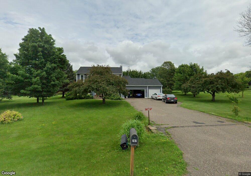
787 Harlar Cir Hudson, WI 54016
Estimated Value: $476,000 - $590,000
3
Beds
3
Baths
--
Sq Ft
87,556
Sq Ft Lot
About This Home
This home is located at 787 Harlar Cir, Hudson, WI 54016 and is currently estimated at $525,707. 787 Harlar Cir is a home located in St. Croix County with nearby schools including E.P. Rock Elementary School, Hudson Middle School, and Hudson High School.
Ownership History
Date
Name
Owned For
Owner Type
Purchase Details
Closed on
Jun 16, 2008
Sold by
Roper Sara B and Sears Sara B
Bought by
Collinson Roger L and Collinson Monica R
Current Estimated Value
Home Financials for this Owner
Home Financials are based on the most recent Mortgage that was taken out on this home.
Original Mortgage
$240,000
Outstanding Balance
$153,064
Interest Rate
6.36%
Mortgage Type
Purchase Money Mortgage
Estimated Equity
$372,643
Purchase Details
Closed on
Oct 26, 2006
Sold by
Sears Shawn P
Bought by
Roper Sara B and Seara Sara B
Purchase Details
Closed on
Jun 24, 2005
Sold by
Barbetti Richard A and Barbetti Nancy A
Bought by
Ropert Sara B and Sears Shawn P
Home Financials for this Owner
Home Financials are based on the most recent Mortgage that was taken out on this home.
Original Mortgage
$284,904
Interest Rate
5.87%
Mortgage Type
New Conventional
Create a Home Valuation Report for This Property
The Home Valuation Report is an in-depth analysis detailing your home's value as well as a comparison with similar homes in the area
Home Values in the Area
Average Home Value in this Area
Purchase History
| Date | Buyer | Sale Price | Title Company |
|---|---|---|---|
| Collinson Roger L | $300,000 | None Available | |
| Roper Sara B | -- | None Available | |
| Ropert Sara B | $299,900 | None Available |
Source: Public Records
Mortgage History
| Date | Status | Borrower | Loan Amount |
|---|---|---|---|
| Open | Collinson Roger L | $240,000 | |
| Previous Owner | Ropert Sara B | $284,904 |
Source: Public Records
Tax History
| Year | Tax Paid | Tax Assessment Tax Assessment Total Assessment is a certain percentage of the fair market value that is determined by local assessors to be the total taxable value of land and additions on the property. | Land | Improvement |
|---|---|---|---|---|
| 2025 | $4,969 | $477,400 | $125,400 | $352,000 |
| 2024 | $48 | $477,400 | $125,400 | $352,000 |
| 2023 | $4,535 | $477,400 | $125,400 | $352,000 |
| 2022 | $4,367 | $322,600 | $90,300 | $232,300 |
| 2021 | $4,312 | $322,600 | $90,300 | $232,300 |
| 2020 | $4,188 | $322,600 | $90,300 | $232,300 |
| 2019 | $4,043 | $322,600 | $90,300 | $232,300 |
| 2018 | $3,851 | $322,600 | $90,300 | $232,300 |
| 2017 | $3,554 | $224,500 | $45,200 | $179,300 |
| 2016 | $3,554 | $224,500 | $45,200 | $179,300 |
| 2015 | $3,215 | $224,500 | $45,200 | $179,300 |
| 2014 | $3,026 | $224,500 | $45,200 | $179,300 |
| 2013 | $3,004 | $217,600 | $45,200 | $172,400 |
Source: Public Records
Map
Nearby Homes
- 786 Harlar Cir
- 740 Aldro Rd
- 701 Rodeo Dr
- xxx Crosby Dr
- 518 Pamela Ln
- 1204 54th St
- 529 Chapman Hills Ct
- 763 Hill Farm Rd
- 671 Darnold Dr
- 665 Darnold Dr
- 127 Stratford Way Unit 6
- 12 Palomino Ct
- 719 Countryview Cir
- 28 Heritage Blvd
- 640 Gilbert Rd
- 464 Stageline Rd
- 769 Martin Ave
- 91 Deerwood Ct
- 85 Deerwood Ct
- 708 Mojo Trail
Your Personal Tour Guide
Ask me questions while you tour the home.