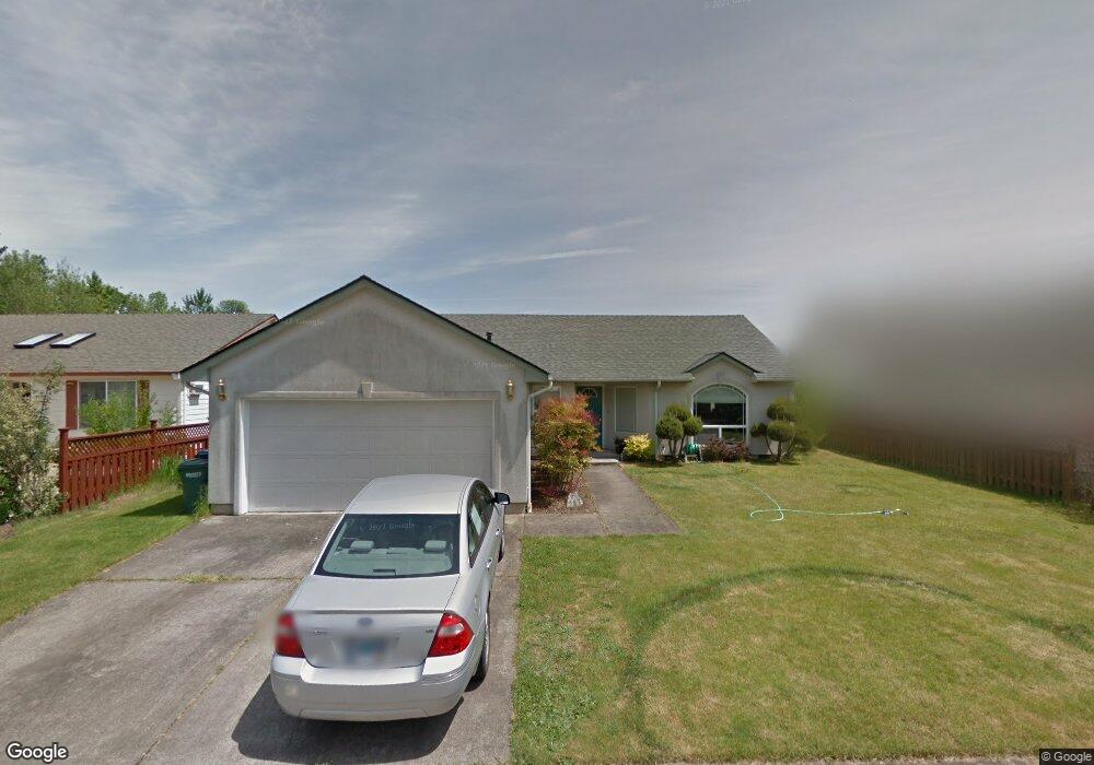
787 Kayla Way N Monmouth, OR 97361
Estimated Value: $436,997 - $467,000
3
Beds
2
Baths
1,473
Sq Ft
$309/Sq Ft
Est. Value
About This Home
This home is located at 787 Kayla Way N, Monmouth, OR 97361 and is currently estimated at $455,499, approximately $309 per square foot. 787 Kayla Way N is a home located in Polk County with nearby schools including Monmouth Elementary School, Talmadge Middle School, and Central High School.
Ownership History
Date
Name
Owned For
Owner Type
Purchase Details
Closed on
Jan 15, 2020
Sold by
Osborn Ralph Stephen and Children S Trust
Bought by
Osborn Stephen C and Osborn Cristina
Current Estimated Value
Purchase Details
Closed on
Aug 31, 2017
Sold by
Glodt Donna I
Bought by
Cable Donna L and The Cable Living Trust
Purchase Details
Closed on
Feb 24, 2015
Sold by
Osborn Richard Alan
Bought by
Osborn Ralph Stephen and The Childrens Trust
Purchase Details
Closed on
Oct 9, 2006
Sold by
Coila Cindy Lou
Bought by
Osborn Shirley and Francis Carl Osborn Decedents Trust
Create a Home Valuation Report for This Property
The Home Valuation Report is an in-depth analysis detailing your home's value as well as a comparison with similar homes in the area
Home Values in the Area
Average Home Value in this Area
Purchase History
| Date | Buyer | Sale Price | Title Company |
|---|---|---|---|
| Osborn Stephen C | -- | None Available | |
| Cable Donna L | $285,000 | Ticor Title Company | |
| Osborn Ralph Stephen | -- | None Available | |
| Osborn Shirley | $195,000 | Ticor Title |
Source: Public Records
Tax History Compared to Growth
Tax History
| Year | Tax Paid | Tax Assessment Tax Assessment Total Assessment is a certain percentage of the fair market value that is determined by local assessors to be the total taxable value of land and additions on the property. | Land | Improvement |
|---|---|---|---|---|
| 2025 | $3,851 | $232,140 | $76,990 | $155,150 |
| 2024 | $3,851 | $225,380 | $74,750 | $150,630 |
| 2023 | $4,010 | $218,820 | $72,570 | $146,250 |
| 2022 | $3,610 | $212,450 | $70,450 | $142,000 |
| 2021 | $3,569 | $206,270 | $68,400 | $137,870 |
| 2020 | $3,428 | $200,270 | $66,410 | $133,860 |
| 2019 | $3,328 | $194,440 | $64,470 | $129,970 |
| 2018 | $3,214 | $188,780 | $62,600 | $126,180 |
| 2017 | $3,196 | $183,290 | $60,780 | $122,510 |
| 2016 | $3,223 | $177,960 | $59,010 | $118,950 |
| 2015 | $3,052 | $172,780 | $57,290 | $115,490 |
| 2014 | $2,958 | $167,750 | $55,620 | $112,130 |
Source: Public Records
Map
Nearby Homes
- 1082 Alberta Ave E
- 555 High St N
- 751 Catron St N
- 0 Catron St N
- 1329 Price Ln E
- 858 Main St E
- 141 S 17th St Unit 61 St
- 141 S 17th St Unit 70 St
- 141 17th (#7) St S Unit 7
- 101 Edwards Rd S Unit 10-B Rd S
- 151 Edwards (#46) Rd S Unit 46
- 151 S Edwards (151) Rd
- 235 Edwards (#104) Rd S Unit 104
- 9650 Hoffman Rd
- 309 Atwater St S
- 191 Catron St S
- 348 Main St E
- Lot 1600 S 16th St
- 277 Edwards Rd S
- 277 Edwards Rd S Unit 133
- 799 Kayla Way N
- 1198 Lori Ln E
- 1033 Olive Way E
- 1210 Lori Ln E
- 756 Kayla Way N
- 1163 Lori Ln E
- 1030 Olive Way E
- 1181 Lori Ln E
- 1232 Lori Ln E
- 748 Kayla Way N
- 1209 Lori Ln E
- 793 Caroline Way N
- 763 Caroline Way N
- 1229 Lori Ln E
- 1000 Olive Way E
- 1160 Mickey Ln E
- 1188 Mickey Ln E
- 1208 Mickey Ln E
- 733 Caroline Way N
- 1253 Lori Ln E