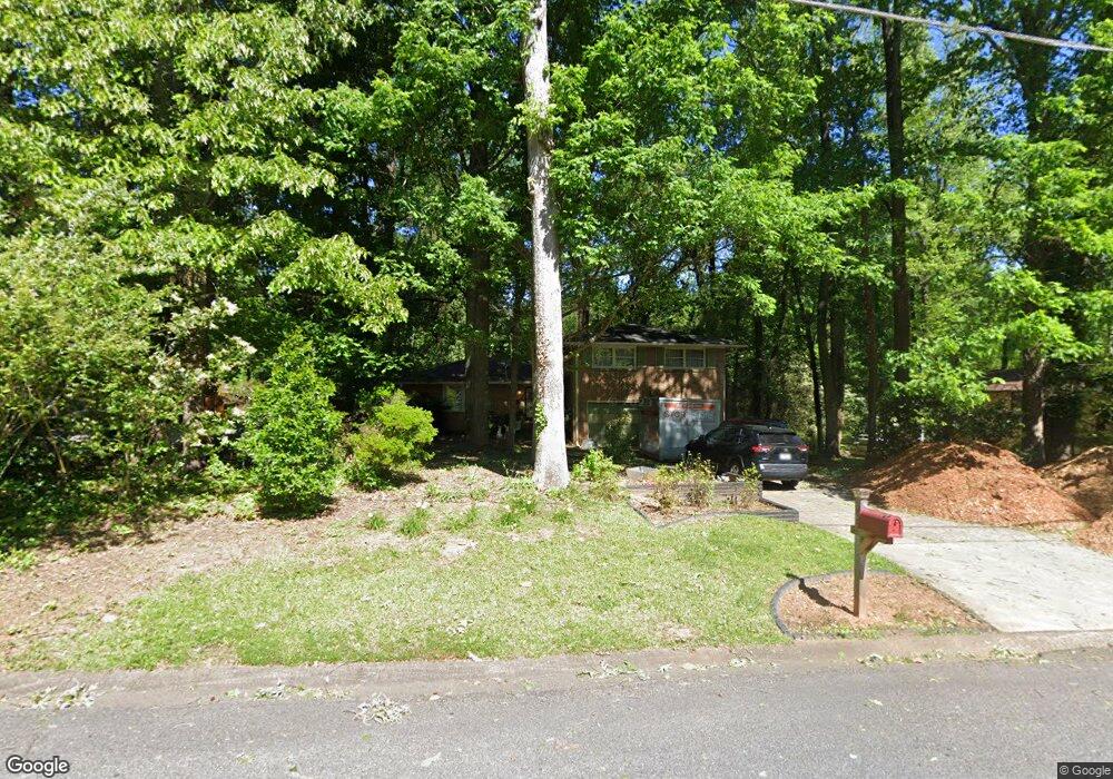
787 Mountainbrooke Cir Unit 3 Stone Mountain, GA 30087
Estimated Value: $352,000 - $400,000
4
Beds
3
Baths
1,956
Sq Ft
$197/Sq Ft
Est. Value
About This Home
This home is located at 787 Mountainbrooke Cir Unit 3, Stone Mountain, GA 30087 and is currently estimated at $386,138, approximately $197 per square foot. 787 Mountainbrooke Cir Unit 3 is a home located in Gwinnett County with nearby schools including Camp Creek Elementary School, Trickum Middle School, and Parkview High School.
Ownership History
Date
Name
Owned For
Owner Type
Purchase Details
Closed on
Aug 22, 2003
Sold by
Speakman Robert K
Bought by
Morrow Sharon E
Current Estimated Value
Home Financials for this Owner
Home Financials are based on the most recent Mortgage that was taken out on this home.
Original Mortgage
$163,680
Interest Rate
6.32%
Mortgage Type
FHA
Create a Home Valuation Report for This Property
The Home Valuation Report is an in-depth analysis detailing your home's value as well as a comparison with similar homes in the area
Home Values in the Area
Average Home Value in this Area
Purchase History
| Date | Buyer | Sale Price | Title Company |
|---|---|---|---|
| Morrow Sharon E | $166,300 | -- |
Source: Public Records
Mortgage History
| Date | Status | Borrower | Loan Amount |
|---|---|---|---|
| Previous Owner | Morrow Sharon E | $163,680 |
Source: Public Records
Tax History Compared to Growth
Tax History
| Year | Tax Paid | Tax Assessment Tax Assessment Total Assessment is a certain percentage of the fair market value that is determined by local assessors to be the total taxable value of land and additions on the property. | Land | Improvement |
|---|---|---|---|---|
| 2025 | $4,494 | $167,320 | $22,200 | $145,120 |
| 2024 | $4,660 | $168,680 | $22,200 | $146,480 |
| 2023 | $4,660 | $122,600 | $22,400 | $100,200 |
| 2022 | $0 | $122,600 | $22,400 | $100,200 |
| 2021 | $3,349 | $104,480 | $19,600 | $84,880 |
| 2020 | $3,262 | $99,360 | $15,200 | $84,160 |
| 2019 | $2,894 | $86,280 | $15,200 | $71,080 |
| 2018 | $2,896 | $86,280 | $15,200 | $71,080 |
| 2016 | $2,348 | $62,400 | $10,800 | $51,600 |
| 2015 | $2,370 | $62,400 | $10,800 | $51,600 |
| 2014 | $2,318 | $60,640 | $8,000 | $52,640 |
Source: Public Records
Map
Nearby Homes
- 771 Mountainbrooke Cir SW
- 851 Rockbridge Rd SW
- 923 Tall Pine Ct SW
- 5774 Vantage Ct
- 717 Oxford Ct SW
- 746 Oxford Ct SW
- 1019 Crestwood Ln
- 881 Rockbridge Rd SW
- 5632 Stillwater Ct
- 5798 Musket Ln
- 483 Rollingwood Dr
- 507 Castlearie Dr
- 507 Castleaire Dr Unit 1
- 5936 Millstone Ln
- 358 W Wind Dr SW
- 5521 E Wind Dr SW
- 574 Horseshoe Cir SW
- 5633 Breezy Ct SW
- 5523 Bahia Mar Cir
- 791 Mountainbrooke Cir
- 783 Mountainbrooke Cir Unit 3
- 801 Mountainbrooke Cir
- 5616 Lilburn Stone Mountain Rd
- 781 Mountainbrooke Cir
- 834 Mountainbrooke Cir
- 808 Lions Trail
- 802 Mountainbrooke Cir
- 792 Mountainbrooke Cir
- 780 Mountainbrooke Cir Unit 3
- 0 Liburn Stone Mountain Rd Unit 8591817
- 5645 Lilburn Stone Mountain Rd
- 803 Mountainbrooke Cir
- 803 Mountainbrooke Cir Unit 11
- 5657 Mountainbrooke Ct
- 772 Mountainbrooke Cir SW
- 803 Lions Trail
- 772 Mountainbrooke Cir
- 0 Mountain Brooke Cir Unit 3255914
- 792 Lions Trail