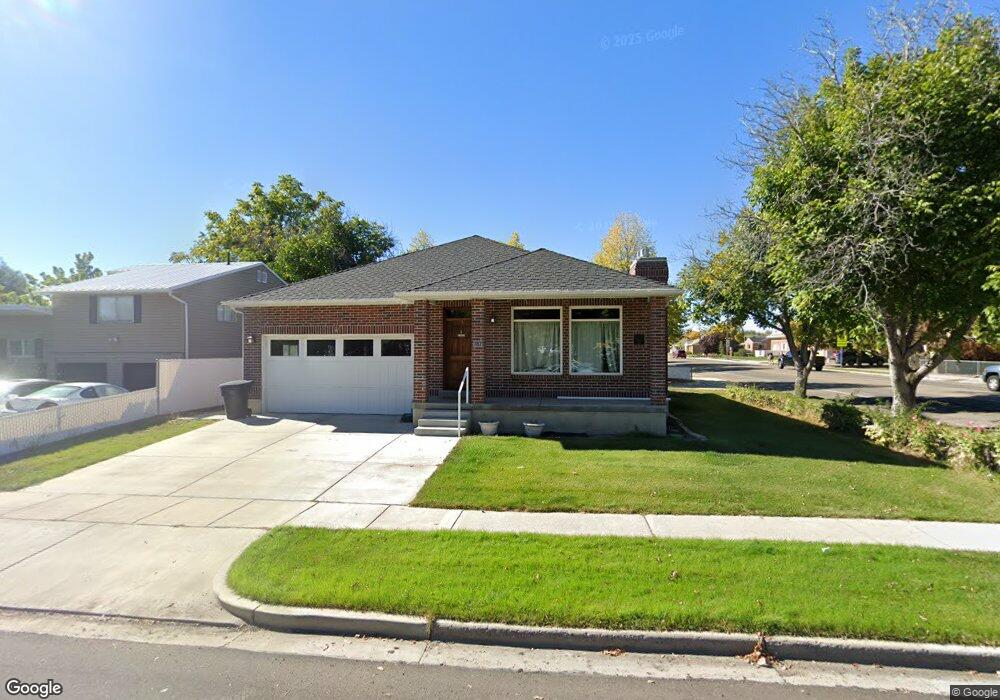
787 N 600 W Provo, UT 84601
Rivergrove NeighborhoodEstimated Value: $485,000 - $554,000
2
Beds
2
Baths
1,819
Sq Ft
$287/Sq Ft
Est. Value
About This Home
This home is located at 787 N 600 W, Provo, UT 84601 and is currently estimated at $522,799, approximately $287 per square foot. 787 N 600 W is a home located in Utah County with nearby schools including Timpanogos Elementary School, Dixon Middle School, and Provo High School.
Ownership History
Date
Name
Owned For
Owner Type
Purchase Details
Closed on
Jul 10, 2023
Sold by
Wolsey Brian L and Wolsey Teryl D
Bought by
Brian And Teryl Wolsey Family Trust and Wolsey
Current Estimated Value
Purchase Details
Closed on
Dec 31, 2012
Sold by
Wolsey Brian L and Wolsey Teryl D
Bought by
Wolsey Brian L and Wolsey Teryl D
Purchase Details
Closed on
Jul 7, 2004
Sold by
Hoehn Patricia M and Mcneil Paul D
Bought by
Wolsey Brian L and Wolsey Teryl D
Purchase Details
Closed on
Sep 20, 2001
Sold by
Hoehn Thomas
Bought by
Hoehn Patricia M
Home Financials for this Owner
Home Financials are based on the most recent Mortgage that was taken out on this home.
Original Mortgage
$87,500
Interest Rate
6.91%
Purchase Details
Closed on
Jan 16, 1997
Sold by
Forsyth Maria H and Legrand Forsyth J
Bought by
Hoehn Patricia M
Home Financials for this Owner
Home Financials are based on the most recent Mortgage that was taken out on this home.
Original Mortgage
$73,620
Interest Rate
7.46%
Mortgage Type
FHA
Create a Home Valuation Report for This Property
The Home Valuation Report is an in-depth analysis detailing your home's value as well as a comparison with similar homes in the area
Home Values in the Area
Average Home Value in this Area
Purchase History
| Date | Buyer | Sale Price | Title Company |
|---|---|---|---|
| Brian And Teryl Wolsey Family Trust | -- | None Listed On Document | |
| Wolsey Brian L | -- | None Listed On Document | |
| Wolsey Brian L | -- | None Available | |
| Wolsey Brian L | -- | Inwest Title Services Inc | |
| Hoehn Patricia M | -- | Title West Title Co | |
| Hoehn Patricia M | -- | -- |
Source: Public Records
Mortgage History
| Date | Status | Borrower | Loan Amount |
|---|---|---|---|
| Previous Owner | Hoehn Patricia M | $87,500 | |
| Previous Owner | Hoehn Patricia M | $73,620 |
Source: Public Records
Tax History
| Year | Tax Paid | Tax Assessment Tax Assessment Total Assessment is a certain percentage of the fair market value that is determined by local assessors to be the total taxable value of land and additions on the property. | Land | Improvement |
|---|---|---|---|---|
| 2025 | $2,597 | $287,320 | -- | -- |
| 2024 | $2,597 | $255,640 | $0 | $0 |
| 2023 | $2,592 | $251,515 | $0 | $0 |
| 2022 | $2,404 | $235,235 | $0 | $0 |
| 2021 | $1,763 | $300,800 | $114,800 | $186,000 |
| 2020 | $1,710 | $273,500 | $104,400 | $169,100 |
| 2019 | $1,506 | $250,600 | $91,300 | $159,300 |
| 2018 | $1,353 | $228,300 | $88,100 | $140,200 |
| 2017 | $1,315 | $121,935 | $0 | $0 |
| 2016 | $1,261 | $109,010 | $0 | $0 |
| 2015 | $1,248 | $109,010 | $0 | $0 |
| 2014 | $1,177 | $107,195 | $0 | $0 |
Source: Public Records
Map
Nearby Homes
Your Personal Tour Guide
Ask me questions while you tour the home.