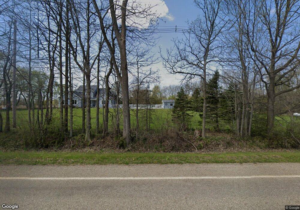
787 N Chester Rd Charlotte, MI 48813
Estimated Value: $448,000 - $505,000
4
Beds
3
Baths
2,515
Sq Ft
$194/Sq Ft
Est. Value
About This Home
This home is located at 787 N Chester Rd, Charlotte, MI 48813 and is currently estimated at $486,821, approximately $193 per square foot. 787 N Chester Rd is a home located in Eaton County with nearby schools including Washington Elementary School, Charlotte Middle School, and Charlotte Upper Elementary School.
Ownership History
Date
Name
Owned For
Owner Type
Purchase Details
Closed on
Jul 23, 2015
Sold by
Luia William J and Luia Cheri L
Bought by
Gordeneer Matthew and Gordeneer Mary B
Current Estimated Value
Home Financials for this Owner
Home Financials are based on the most recent Mortgage that was taken out on this home.
Original Mortgage
$255,000
Outstanding Balance
$150,855
Interest Rate
4.05%
Mortgage Type
Unknown
Estimated Equity
$335,966
Create a Home Valuation Report for This Property
The Home Valuation Report is an in-depth analysis detailing your home's value as well as a comparison with similar homes in the area
Home Values in the Area
Average Home Value in this Area
Purchase History
| Date | Buyer | Sale Price | Title Company |
|---|---|---|---|
| Gordeneer Matthew | $285,000 | Midstate Title Agency Llc |
Source: Public Records
Mortgage History
| Date | Status | Borrower | Loan Amount |
|---|---|---|---|
| Open | Gordeneer Matthew | $255,000 |
Source: Public Records
Tax History Compared to Growth
Tax History
| Year | Tax Paid | Tax Assessment Tax Assessment Total Assessment is a certain percentage of the fair market value that is determined by local assessors to be the total taxable value of land and additions on the property. | Land | Improvement |
|---|---|---|---|---|
| 2025 | $5,216 | $246,400 | $0 | $0 |
| 2024 | $1,902 | $234,560 | $0 | $0 |
| 2023 | $1,812 | $196,820 | $0 | $0 |
| 2022 | $4,574 | $191,660 | $0 | $0 |
| 2021 | $4,391 | $183,020 | $0 | $0 |
| 2020 | $4,283 | $171,800 | $0 | $0 |
| 2019 | $4,222 | $159,900 | $0 | $0 |
| 2018 | $4,124 | $146,449 | $0 | $0 |
| 2017 | $3,971 | $140,539 | $0 | $0 |
| 2016 | -- | $135,362 | $0 | $0 |
| 2015 | -- | $129,995 | $0 | $0 |
| 2014 | -- | $120,166 | $0 | $0 |
| 2013 | -- | $118,274 | $0 | $0 |
Source: Public Records
Map
Nearby Homes
- Vl Montels Parcel D Way
- 0 Montels Parcel H Way
- 2402 N Stine Rd
- 854 S Ainger Rd
- 4755 Carlisle Hwy
- 1272 W Lawrence Hwy
- Vl W Kinsel Hwy
- 525 N Wheaton Rd
- 2160 N Shaytown Rd
- 674 Beech Hwy
- 717 High St
- 827 Walnut St
- 922 High St
- 738 W Shepherd St
- 138 Canterbury Dr
- 0 Parcel A Pinebluff Dr Unit 257983
- 0 Pinebluff Dr Unit 265338
- 0 Pinebluff Dr Parcel P Unit 258042
- 0 Pinebluff Dr Parcel G Unit 258027
- 113 S Clinton St
- 917 N Chester Rd
- 3988 Valley Hwy
- 4223 Valley Hwy
- 4056 Valley Hwy
- 3946 Valley Hwy
- 3896 Valley Hwy
- 1031 White Birch Trail
- 0 White Birch Trail
- 4100 Valley Hwy
- 1094 N Chester Rd
- 1141 N Chester Rd
- 3711 Valley Hwy
- 4242 Valley Hwy
- 1166 N Chester Rd
- 1080 White Birch Trail
- 4381 Valley Hwy
- 1197 N Chester Rd
- 4400 Valley Hwy
- 1170 N Chester Rd
- 480 N Chester Rd