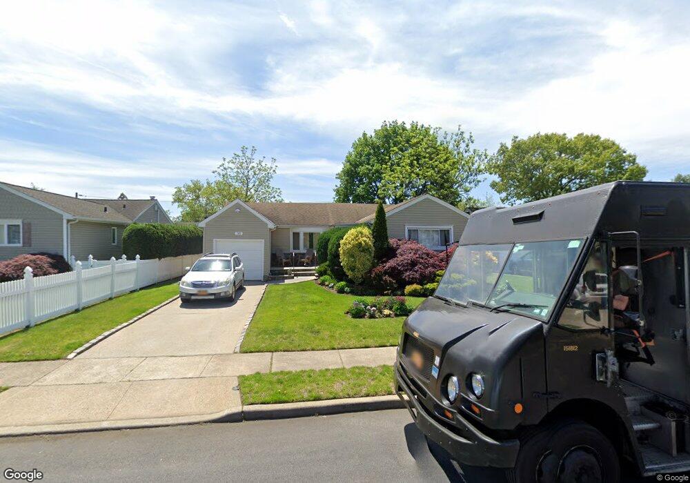
787 Princeton Rd Franklin Square, NY 11010
Estimated Value: $688,537 - $729,000
--
Bed
2
Baths
1,301
Sq Ft
$545/Sq Ft
Est. Value
About This Home
This home is located at 787 Princeton Rd, Franklin Square, NY 11010 and is currently estimated at $708,769, approximately $544 per square foot. 787 Princeton Rd is a home located in Nassau County.
Ownership History
Date
Name
Owned For
Owner Type
Purchase Details
Closed on
Feb 8, 2024
Sold by
Motagalli Linda
Bought by
Motagalli Joseph and Motagalli Family Trust
Current Estimated Value
Purchase Details
Closed on
Dec 1, 1998
Home Financials for this Owner
Home Financials are based on the most recent Mortgage that was taken out on this home.
Original Mortgage
$14,173
Interest Rate
6.36%
Mortgage Type
Purchase Money Mortgage
Purchase Details
Closed on
Feb 8, 1995
Sold by
Rosenthal Irving and Rosenthal Frances
Bought by
Denize Linda
Create a Home Valuation Report for This Property
The Home Valuation Report is an in-depth analysis detailing your home's value as well as a comparison with similar homes in the area
Home Values in the Area
Average Home Value in this Area
Purchase History
| Date | Buyer | Sale Price | Title Company |
|---|---|---|---|
| Motagalli Joseph | -- | None Available | |
| Motagalli Joseph | -- | None Available | |
| -- | -- | -- | |
| Motagalli Linda | -- | -- | |
| Motagalli Linda | -- | -- | |
| Motagalli Linda | -- | -- | |
| Denize Linda | $191,000 | -- | |
| Denize Linda | $191,000 | -- |
Source: Public Records
Mortgage History
| Date | Status | Borrower | Loan Amount |
|---|---|---|---|
| Closed | Motagalli Linda | $14,173 | |
| Closed | Motagalli Linda | $0 |
Source: Public Records
Tax History Compared to Growth
Tax History
| Year | Tax Paid | Tax Assessment Tax Assessment Total Assessment is a certain percentage of the fair market value that is determined by local assessors to be the total taxable value of land and additions on the property. | Land | Improvement |
|---|---|---|---|---|
| 2025 | $8,705 | $484 | $255 | $229 |
| 2024 | $4,794 | $558 | $294 | $264 |
| 2023 | $9,898 | $529 | $279 | $250 |
| 2022 | $9,898 | $558 | $294 | $264 |
| 2021 | $13,288 | $548 | $289 | $259 |
| 2020 | $10,077 | $649 | $546 | $103 |
| 2019 | $9,118 | $649 | $508 | $141 |
| 2018 | $8,567 | $649 | $0 | $0 |
| 2017 | $4,763 | $697 | $410 | $287 |
| 2016 | $8,308 | $697 | $410 | $287 |
| 2015 | $4,415 | $929 | $546 | $383 |
| 2014 | $4,415 | $929 | $546 | $383 |
| 2013 | $4,127 | $929 | $546 | $383 |
Source: Public Records
Map
Nearby Homes
- 757 Marion St
- 249 Grange St
- 301 Hoffman St
- 791 Caryl St
- 279 Semton Blvd
- 956 Hancock Ave
- 576 Western Park Dr
- 190 Commonwealth St
- 242 James St
- 249 Hoffman St
- 231 Dogwood Ave
- 144 Rintin St
- 422 Saint Agnes Place
- 850 First Ave
- 350 Paul Place
- 198 Guildford Ct
- 19 Richard St
- 1022 Jackson Ave
- 291 Lincoln St
- 600 Dogwood Ave
- 781 Princeton Rd
- 793 Princeton Rd
- 788 Cornell Rd
- 794 Cornell Rd
- 799 Princeton Rd
- 782 Cornell Rd
- 771 Princeton Rd
- 382 Eton Rd
- 782 Princeton Rd
- 800 Cornell Rd
- 792 Princeton Rd
- 805 Princeton Rd
- 390 Eton Rd
- 798 Princeton Rd
- 806 Cornell Rd
- 772 Princeton Rd
- 804 Princeton Rd
- 811 Princeton Rd
- 787 Cornell Rd
- 793 Cornell Rd