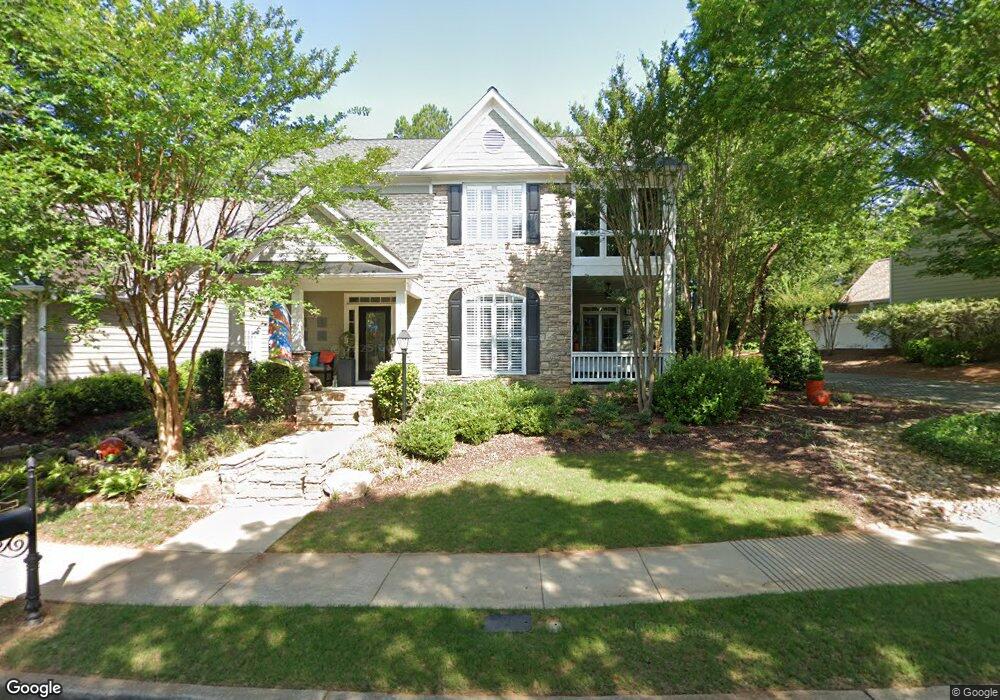
787 Scales Rd Unit 1 Suwanee, GA 30024
Estimated Value: $499,000 - $536,000
3
Beds
3
Baths
2,118
Sq Ft
$245/Sq Ft
Est. Value
About This Home
This home is located at 787 Scales Rd Unit 1, Suwanee, GA 30024 and is currently estimated at $519,033, approximately $245 per square foot. 787 Scales Rd Unit 1 is a home located in Gwinnett County with nearby schools including Roberts Elementary School, North Gwinnett Middle School, and North Gwinnett High School.
Ownership History
Date
Name
Owned For
Owner Type
Purchase Details
Closed on
Mar 22, 2002
Sold by
Richport Prop Inc
Bought by
Wilberger Charles
Current Estimated Value
Home Financials for this Owner
Home Financials are based on the most recent Mortgage that was taken out on this home.
Original Mortgage
$189,230
Outstanding Balance
$76,805
Interest Rate
6.8%
Mortgage Type
New Conventional
Estimated Equity
$442,228
Create a Home Valuation Report for This Property
The Home Valuation Report is an in-depth analysis detailing your home's value as well as a comparison with similar homes in the area
Home Values in the Area
Average Home Value in this Area
Purchase History
| Date | Buyer | Sale Price | Title Company |
|---|---|---|---|
| Wilberger Charles | $199,200 | -- |
Source: Public Records
Mortgage History
| Date | Status | Borrower | Loan Amount |
|---|---|---|---|
| Open | Wilberger Charles | $189,230 |
Source: Public Records
Tax History Compared to Growth
Tax History
| Year | Tax Paid | Tax Assessment Tax Assessment Total Assessment is a certain percentage of the fair market value that is determined by local assessors to be the total taxable value of land and additions on the property. | Land | Improvement |
|---|---|---|---|---|
| 2025 | $883 | $214,720 | $44,080 | $170,640 |
| 2024 | $883 | $208,680 | $40,800 | $167,880 |
| 2023 | $883 | $185,240 | $35,600 | $149,640 |
| 2022 | $5,381 | $175,360 | $35,600 | $139,760 |
| 2021 | $4,378 | $135,960 | $26,800 | $109,160 |
| 2020 | $4,120 | $124,960 | $23,080 | $101,880 |
| 2019 | $3,496 | $124,960 | $23,080 | $101,880 |
| 2018 | $3,470 | $122,920 | $23,080 | $99,840 |
| 2016 | $2,921 | $97,600 | $24,000 | $73,600 |
| 2015 | $2,776 | $89,360 | $18,400 | $70,960 |
| 2014 | -- | $89,360 | $18,400 | $70,960 |
Source: Public Records
Map
Nearby Homes
- 743 Vinebrook Ln
- 911 Echo Park Dr
- 923 Echo Park Dr
- 4040 Brushy Creek Way
- 952 Cambron Commons Trace
- 3655 Belle Fields Crossing
- 3615 Belle Fields Crossing
- 3625 Belle Fields Crossing
- 3675 Belle Fields Crossing
- 3685 Belle Fields Crossing
- 3645 Belle Fields Crossing
- 3635 Belle Fields Crossing
- Burton Plan at Echo Park
- Sinclair Plan at Echo Park
- Flint Plan at Echo Park
- 825 Green Sapling Trail
- 825 Green Sapling Trail Unit 18
- 3854 Light Farms Way
- 822 Urban Grange Way
- 1621 Wellborn Walk
- 791 Scales Rd Unit 1
- 777 Scales Rd
- 797 Scales Rd
- 797 Scales Rd Unit 797
- 771 Scales Rd
- 784 Scales Rd
- 809 Scales Rd Unit 1
- 809 Scales Rd Unit 16
- 788 Scales Rd
- 778 Scales Rd
- 690 Jackson St
- 792 Scales Rd Unit 1
- 792 Scales Rd
- 3918 Brushy Ridge Way Unit 3
- 772 Scales Rd Unit 2
- 813 Scales Rd
- 798 Scales Rd
- 3908 Brushy Ridge Way
- 808 Scales Rd
- 817 Scales Rd