Estimated Value: $121,000 - $299,000
3
Beds
2
Baths
1,620
Sq Ft
$129/Sq Ft
Est. Value
About This Home
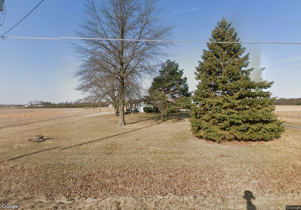
This home is located at 787 State Route 235, Ada, OH 45810 and is currently estimated at $208,675, approximately $128 per square foot. 787 State Route 235 is a home located in Hardin County with nearby schools including Ada Elementary School and Ada High School.
Ownership History
Date
Name
Owned For
Owner Type
Purchase Details
Closed on
Jun 8, 2006
Sold by
Dearth Gerald A and Dearth Jean A
Bought by
Allen Mark A and Allen Kerrie L
Current Estimated Value
Home Financials for this Owner
Home Financials are based on the most recent Mortgage that was taken out on this home.
Original Mortgage
$148,000
Outstanding Balance
$91,455
Interest Rate
7.5%
Mortgage Type
Adjustable Rate Mortgage/ARM
Estimated Equity
$117,220
Create a Home Valuation Report for This Property
The Home Valuation Report is an in-depth analysis detailing your home's value as well as a comparison with similar homes in the area
Home Values in the Area
Average Home Value in this Area
Purchase History
| Date | Buyer | Sale Price | Title Company |
|---|---|---|---|
| Allen Mark A | -- | None Available |
Source: Public Records
Mortgage History
| Date | Status | Borrower | Loan Amount |
|---|---|---|---|
| Open | Allen Mark A | $148,000 |
Source: Public Records
Tax History Compared to Growth
Tax History
| Year | Tax Paid | Tax Assessment Tax Assessment Total Assessment is a certain percentage of the fair market value that is determined by local assessors to be the total taxable value of land and additions on the property. | Land | Improvement |
|---|---|---|---|---|
| 2024 | $1,813 | $47,730 | $6,210 | $41,520 |
| 2023 | $1,813 | $47,730 | $6,210 | $41,520 |
| 2022 | $1,706 | $39,070 | $3,130 | $35,940 |
| 2021 | $1,881 | $39,070 | $3,130 | $35,940 |
| 2020 | $1,906 | $39,070 | $3,130 | $35,940 |
| 2019 | $1,686 | $34,960 | $2,980 | $31,980 |
| 2018 | $1,649 | $34,960 | $2,980 | $31,980 |
| 2017 | $1,519 | $34,960 | $2,980 | $31,980 |
| 2016 | $1,429 | $32,700 | $2,610 | $30,090 |
| 2015 | $1,399 | $32,700 | $2,610 | $30,090 |
| 2014 | $1,398 | $32,700 | $2,610 | $30,090 |
| 2013 | $1,487 | $32,930 | $2,610 | $30,320 |
Source: Public Records
Map
Nearby Homes
- 2088 County Road 20
- 2072 State Route 235
- 1482 Township Road 55
- 1482 Township Rd Unit 55
- 3769 County Road 304
- 710 N Main St
- 629 N Main St
- 538 N Main St
- 405 Heistand St
- 207 E Montford Ave
- 210 N Gilbert St
- 211 S Main St
- 118 W Buckeye Ave
- 211 W Buckeye Ave Unit 211 1/2
- 351 W Buckeye Ave
- !dnp! 700 College
- 301 S Main St
- 308-310 S Simon St
- 314 S Simon St
- 21 Unit Real Estate Package
- 0664 St Route
- 2859 County Road 20
- 0644 St Route
- 644 State Route 235
- 644 State Route 235
- 2913 County Rd
- 2913 Cr
- 2913 County Road 20
- 2912 County Road 20
- 2791 County Road 20
- 589 State Route 235
- 564 State Route 235
- 564 State Route 235
- 2749 County Road 20
- 1113 State Route 235
- 3221 County Road 20
- 2780 County Road 20
- 2744 County Road 20
- 2711 County Road 20