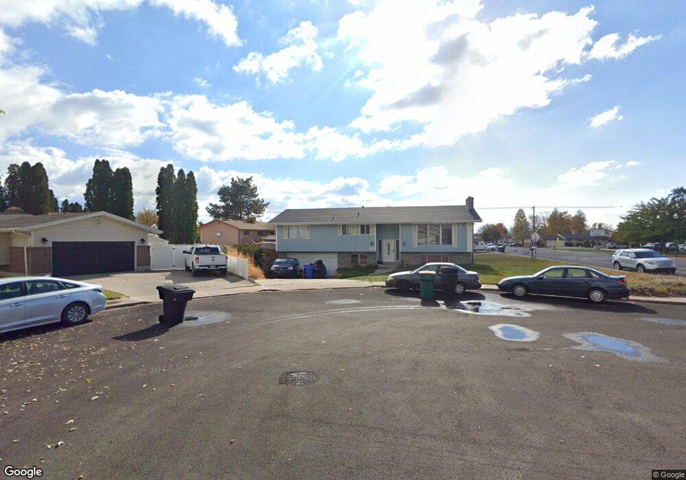
787 W 1250 N Orem, UT 84057
Bonneville NeighborhoodEstimated Value: $547,000 - $608,000
4
Beds
4
Baths
2,500
Sq Ft
$227/Sq Ft
Est. Value
About This Home
This home is located at 787 W 1250 N, Orem, UT 84057 and is currently estimated at $568,370, approximately $227 per square foot. 787 W 1250 N is a home located in Utah County with nearby schools including Bonneville Elementary School, Orem Junior High School, and Timpanogos High School.
Ownership History
Date
Name
Owned For
Owner Type
Purchase Details
Closed on
Mar 25, 2016
Sold by
Barber J Ilene J and Barber Judith C
Bought by
Hubbart Andrew L and Hubbart Christine E
Current Estimated Value
Home Financials for this Owner
Home Financials are based on the most recent Mortgage that was taken out on this home.
Original Mortgage
$245,471
Outstanding Balance
$194,095
Interest Rate
3.62%
Mortgage Type
FHA
Estimated Equity
$374,275
Create a Home Valuation Report for This Property
The Home Valuation Report is an in-depth analysis detailing your home's value as well as a comparison with similar homes in the area
Home Values in the Area
Average Home Value in this Area
Purchase History
| Date | Buyer | Sale Price | Title Company |
|---|---|---|---|
| Hubbart Andrew L | -- | Traverse Title Insurance Age |
Source: Public Records
Mortgage History
| Date | Status | Borrower | Loan Amount |
|---|---|---|---|
| Open | Hubbart Andrew L | $245,471 |
Source: Public Records
Tax History Compared to Growth
Tax History
| Year | Tax Paid | Tax Assessment Tax Assessment Total Assessment is a certain percentage of the fair market value that is determined by local assessors to be the total taxable value of land and additions on the property. | Land | Improvement |
|---|---|---|---|---|
| 2025 | $2,097 | $283,470 | $200,400 | $315,000 |
| 2024 | $2,097 | $256,465 | $0 | $0 |
| 2023 | $1,907 | $250,635 | $0 | $0 |
| 2022 | $2,139 | $272,305 | $0 | $0 |
| 2021 | $1,993 | $384,300 | $156,500 | $227,800 |
| 2020 | $1,839 | $348,500 | $125,200 | $223,300 |
| 2019 | $1,621 | $319,400 | $125,200 | $194,200 |
| 2018 | $1,539 | $289,800 | $114,500 | $175,300 |
| 2017 | $1,479 | $149,160 | $0 | $0 |
| 2016 | $1,404 | $130,570 | $0 | $0 |
| 2015 | $1,314 | $115,610 | $0 | $0 |
| 2014 | $1,278 | $111,925 | $0 | $0 |
Source: Public Records
Map
Nearby Homes
- 1319 N 725 W
- 1405 N 770 W
- 545 W 1240 N
- 597 W 1400 N
- 999 W 1100 N
- 947 N 830 W
- 983 W 1055 N Unit 816
- 1062 N 1035 W
- 1018 N 985 W Unit 516
- 1030 N 995 W Unit 915
- 1030 N 995 W Unit 905
- 982 W 960 N Unit 109
- 933 N 900 W
- 1561 N 740 W
- 613 W 1550 N
- 930 N 980 W
- 1154 W 1340 N
- 1081 W 993 N Unit 101
- 1643 N 645 W
- 1455 N Amiron Way Unit A