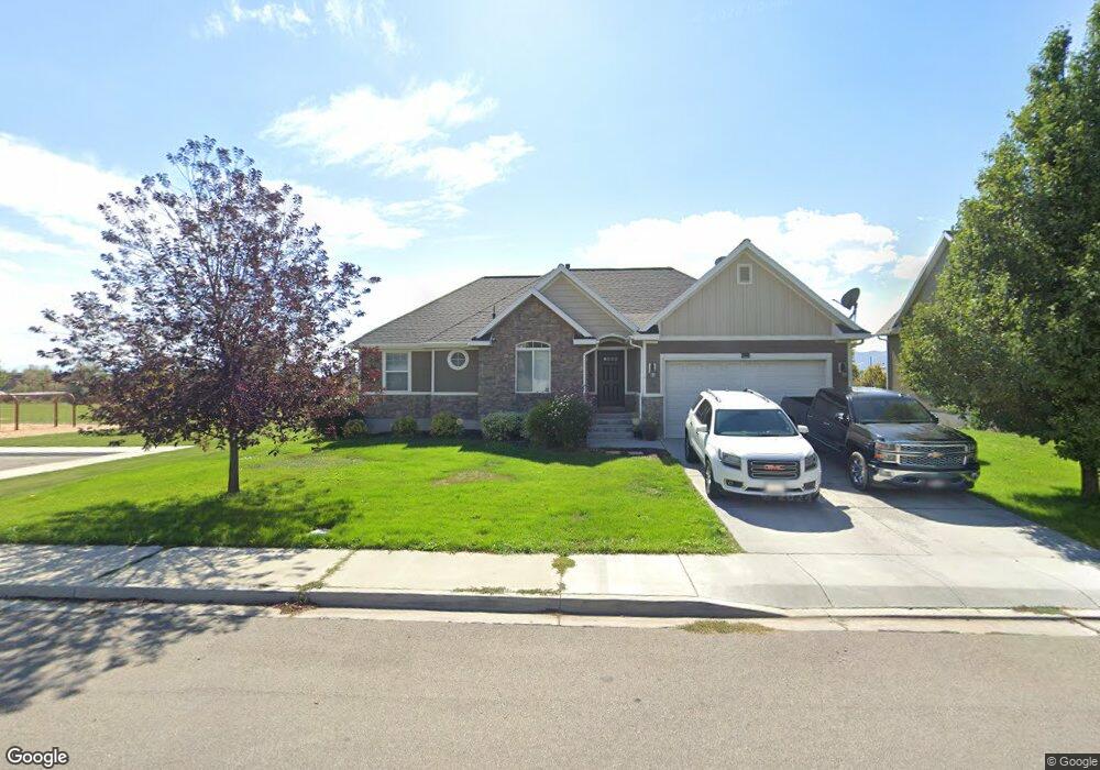
787 W 450 N Unit 41NP American Fork, UT 84003
Estimated Value: $493,000 - $576,000
3
Beds
2
Baths
2,996
Sq Ft
$183/Sq Ft
Est. Value
About This Home
This home is located at 787 W 450 N Unit 41NP, American Fork, UT 84003 and is currently estimated at $548,456, approximately $183 per square foot. 787 W 450 N Unit 41NP is a home located in Utah County with nearby schools including Shelley Elementary School, American Fork Junior High School, and American Fork High School.
Ownership History
Date
Name
Owned For
Owner Type
Purchase Details
Closed on
Apr 13, 2016
Sold by
Ss Dunn Properties Llc
Bought by
Box Elder Properties Lp
Current Estimated Value
Purchase Details
Closed on
Jan 27, 2015
Sold by
Dann Scott
Bought by
Ss Dunn Properties Llc
Purchase Details
Closed on
Dec 31, 2013
Sold by
Patterson Construction Inc
Bought by
Dunn Scott
Purchase Details
Closed on
Oct 23, 2007
Sold by
Isaac Construction Inc
Bought by
Meadowbrook Land Llc
Create a Home Valuation Report for This Property
The Home Valuation Report is an in-depth analysis detailing your home's value as well as a comparison with similar homes in the area
Home Values in the Area
Average Home Value in this Area
Purchase History
| Date | Buyer | Sale Price | Title Company |
|---|---|---|---|
| Box Elder Properties Lp | -- | Provo Land Title Co | |
| Ss Dunn Properties Llc | -- | Select Title Ins Agency | |
| Dunn Scott | -- | Select Title Ins Agency | |
| Meadowbrook Land Llc | -- | Select Title Insurance Agen |
Source: Public Records
Tax History Compared to Growth
Tax History
| Year | Tax Paid | Tax Assessment Tax Assessment Total Assessment is a certain percentage of the fair market value that is determined by local assessors to be the total taxable value of land and additions on the property. | Land | Improvement |
|---|---|---|---|---|
| 2025 | $2,489 | $290,565 | $213,300 | $315,000 |
| 2024 | $2,489 | $276,540 | $0 | $0 |
| 2023 | $2,376 | $279,895 | $0 | $0 |
| 2022 | $2,482 | $288,530 | $0 | $0 |
| 2021 | $2,128 | $386,400 | $153,000 | $233,400 |
| 2020 | $1,991 | $350,700 | $136,600 | $214,100 |
| 2019 | $1,850 | $336,900 | $126,400 | $210,500 |
| 2018 | $1,738 | $302,600 | $119,600 | $183,000 |
| 2017 | $1,671 | $157,025 | $0 | $0 |
| 2016 | $1,658 | $144,815 | $0 | $0 |
| 2015 | $1,664 | $137,885 | $0 | $0 |
| 2014 | $1,563 | $127,820 | $0 | $0 |
Source: Public Records
Map
Nearby Homes
- 777 W State Rd
- 962 N 780 St W Unit 508
- 974 N 780 St W Unit 509
- 916 N 780 St W Unit 501
- 822 W 800 St N Unit LOT319
- 822 N 860 W Unit 317
- 356 N 480 W
- 641 N 420 W
- 602 W 860 N
- 901 N Lakota Rd
- 328 N 1270 E
- 418 N 1322 E
- 399 W Pacific Dr
- 540 N 300 W
- 370 W Pacific Dr Unit 1
- 3935 W 1000 N Unit 438
- 3983 W 1000 N Unit 442
- 4007 W 1000 N
- 3947 W 1000 N Unit 439
- 3959 W 1000 N