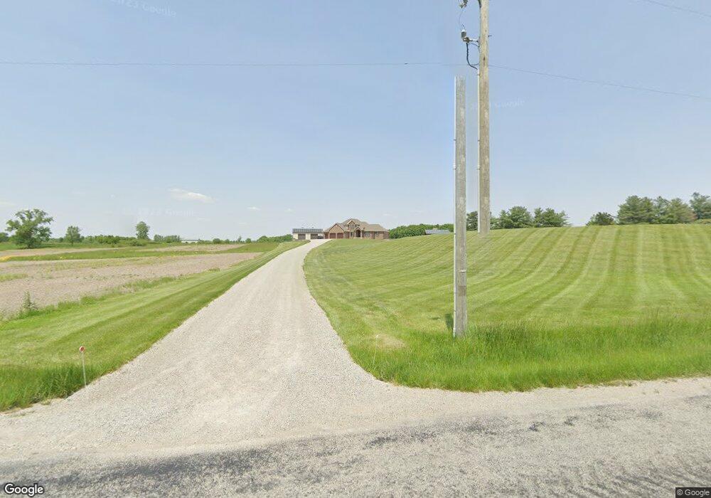
787 W 900 N Uniondale, IN 46791
Estimated Value: $500,000 - $777,627
4
Beds
5
Baths
3,073
Sq Ft
$208/Sq Ft
Est. Value
About This Home
This home is located at 787 W 900 N, Uniondale, IN 46791 and is currently estimated at $638,814, approximately $207 per square foot. 787 W 900 N is a home with nearby schools including Norwell High School.
Ownership History
Date
Name
Owned For
Owner Type
Purchase Details
Closed on
May 11, 2007
Sold by
Forsyth Tom C
Bought by
Roller Douglas J and Roller Jennifer
Current Estimated Value
Create a Home Valuation Report for This Property
The Home Valuation Report is an in-depth analysis detailing your home's value as well as a comparison with similar homes in the area
Home Values in the Area
Average Home Value in this Area
Purchase History
| Date | Buyer | Sale Price | Title Company |
|---|---|---|---|
| Roller Douglas J | $75,000 | Landamerica Lawyers Title |
Source: Public Records
Tax History Compared to Growth
Tax History
| Year | Tax Paid | Tax Assessment Tax Assessment Total Assessment is a certain percentage of the fair market value that is determined by local assessors to be the total taxable value of land and additions on the property. | Land | Improvement |
|---|---|---|---|---|
| 2024 | $5,579 | $766,500 | $110,200 | $656,300 |
| 2023 | $5,766 | $799,100 | $97,200 | $701,900 |
| 2022 | $5,082 | $693,800 | $81,600 | $612,200 |
| 2021 | $4,759 | $655,100 | $81,600 | $573,500 |
| 2020 | $3,086 | $504,700 | $81,600 | $423,100 |
| 2019 | $2,974 | $471,700 | $81,600 | $390,100 |
| 2018 | $5,082 | $456,200 | $61,800 | $394,400 |
| 2017 | $2,140 | $433,900 | $61,800 | $372,100 |
| 2016 | $2,059 | $415,000 | $58,800 | $356,200 |
| 2014 | $2,084 | $388,100 | $59,200 | $328,900 |
| 2013 | $1,909 | $380,100 | $57,000 | $323,100 |
Source: Public Records
Map
Nearby Homes
- 705 W 900 N
- 770 W 900 N
- 790 W 900 N
- 608 W 900 N
- 937 W 900 N
- 562 W 900 N
- 9029 N 100 W-90 Unit 90
- 539 W 900 N
- 9095 N 100 W-90 Unit 90
- 9145 N 100 W-90 Unit 90
- 9361 N 100 W-90 Unit 90
- 8771 N 100 W
- 1066 W 900 N-90
- 473 W 900 N
- 419 W 900 N
- 406 W 900 N
- 9331 N 100 W-90 Unit 90
- 340 W 900 N
- 8559 N 100 W
- 8688 N 100 W