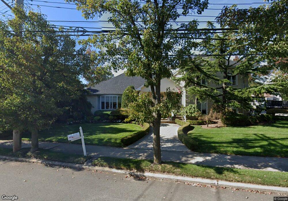
787 Woodrow Rd Unit 801 Staten Island, NY 10312
Arden Heights NeighborhoodEstimated Value: $1,129,000 - $1,299,625
--
Bed
4
Baths
3,744
Sq Ft
$326/Sq Ft
Est. Value
About This Home
This home is located at 787 Woodrow Rd Unit 801, Staten Island, NY 10312 and is currently estimated at $1,219,656, approximately $325 per square foot. 787 Woodrow Rd Unit 801 is a home located in Richmond County with nearby schools including P.S. 4 - Maurice Wollin, I.S. 075 Frank D. Paulo, and Tottenville High School.
Ownership History
Date
Name
Owned For
Owner Type
Purchase Details
Closed on
Sep 13, 2023
Sold by
Maimone Debra
Bought by
Maimone Dara
Current Estimated Value
Purchase Details
Closed on
Jan 12, 2023
Sold by
Maimone Robert
Bought by
Maimone Debra and Maimone Dara
Purchase Details
Closed on
Mar 4, 2021
Sold by
Maimone Robert and Maimone Debra
Bought by
Maimone Robert and Maimone Debra
Purchase Details
Closed on
Feb 14, 1997
Sold by
Spero Florence
Bought by
Maimone Robert and Maimone Debra
Purchase Details
Closed on
Apr 27, 1995
Sold by
Silverman Rhea and Spero Florence
Bought by
Spero Florence
Create a Home Valuation Report for This Property
The Home Valuation Report is an in-depth analysis detailing your home's value as well as a comparison with similar homes in the area
Home Values in the Area
Average Home Value in this Area
Purchase History
| Date | Buyer | Sale Price | Title Company |
|---|---|---|---|
| Maimone Dara | -- | None Listed On Document | |
| Maimone Debra | -- | None Listed On Document | |
| Maimone Robert | -- | None Listed On Document | |
| Maimone Robert | $694,000 | -- | |
| Spero Florence | -- | -- |
Source: Public Records
Tax History Compared to Growth
Tax History
| Year | Tax Paid | Tax Assessment Tax Assessment Total Assessment is a certain percentage of the fair market value that is determined by local assessors to be the total taxable value of land and additions on the property. | Land | Improvement |
|---|---|---|---|---|
| 2025 | $11,878 | $61,620 | $25,806 | $35,814 |
| 2024 | $11,890 | $63,060 | $23,790 | $39,270 |
| 2023 | $11,315 | $57,113 | $23,802 | $33,311 |
| 2022 | $10,469 | $53,880 | $24,780 | $29,100 |
| 2021 | $11,642 | $56,760 | $24,780 | $31,980 |
| 2020 | $12,033 | $62,700 | $24,780 | $37,920 |
| 2019 | $11,892 | $64,140 | $24,780 | $39,360 |
| 2018 | $10,995 | $55,395 | $23,708 | $31,687 |
| 2017 | $10,354 | $52,260 | $24,780 | $27,480 |
| 2016 | $9,910 | $51,120 | $24,780 | $26,340 |
| 2015 | -- | $48,540 | $20,640 | $27,900 |
| 2014 | -- | $48,540 | $20,640 | $27,900 |
Source: Public Records
Map
Nearby Homes
- 798 Woodrow Rd
- 43 Everton Ave
- 42 Everton Ave
- 22 Belfield Ave
- 9 Sperry Place
- 17 Holcomb Ave
- 225 Rosedale Ave
- 12 Delmar Ave Unit A
- 875 Woodrow Rd
- 208 Rosedale Ave
- 62 Ruxton Ave
- 101 Green Valley Rd
- 318 Green Valley Rd
- 101 Stack Dr Unit A
- 525 Sinclair Ave
- 78 Almond St
- 117 Boulder St
- 262 Stafford Ave
- 32 Ebey Ln
- 16 Ebey Ln
- 787-801 Woodrow Rd
- 797 Woodrow Rd
- 9 Everton Ave
- 37 Belfield Ave
- 39 Belfield Ave
- 48 Belfield Ave
- 35 Belfield Ave Unit 2
- 35 Belfield Ave Unit 1
- 35 Belfield Ave
- 23 Everton Ave Unit 25
- 78 Belfield Ave
- 23-25 Everton Ave
- 68 Holcomb Ave
- 70 Holcomb Ave
- 27 Everton Ave
- 36 Belfield Ave
- 32 Belfield Ave
- 32 Belfield Ave Unit A
- 78 Holcomb Ave
- 29 Belfield Ave