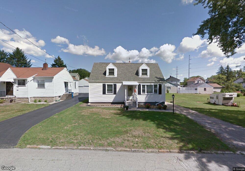
7871 2nd St Masury, OH 44438
Estimated Value: $79,000 - $133,000
3
Beds
1
Bath
1,374
Sq Ft
$81/Sq Ft
Est. Value
About This Home
This home is located at 7871 2nd St, Masury, OH 44438 and is currently estimated at $110,701, approximately $80 per square foot. 7871 2nd St is a home located in Trumbull County with nearby schools including Brookfield Elementary School, Brookfield Middle School, and Brookfield High School.
Ownership History
Date
Name
Owned For
Owner Type
Purchase Details
Closed on
May 13, 2016
Sold by
Keith Stofan J
Bought by
Keith Stofan J and Stofan S Marilynn A
Current Estimated Value
Home Financials for this Owner
Home Financials are based on the most recent Mortgage that was taken out on this home.
Interest Rate
3.57%
Purchase Details
Closed on
Jul 25, 2005
Sold by
Stofan Keith and Stofan Marilynn
Bought by
Stofan Keith and Stofan Marilynn A
Purchase Details
Closed on
Jul 22, 2005
Sold by
Stofan Keith and Stofan Marilynn
Bought by
Stofan Keith and Stofan Marilynn A
Purchase Details
Closed on
Jan 1, 1990
Bought by
Keith Stofan
Create a Home Valuation Report for This Property
The Home Valuation Report is an in-depth analysis detailing your home's value as well as a comparison with similar homes in the area
Home Values in the Area
Average Home Value in this Area
Purchase History
| Date | Buyer | Sale Price | Title Company |
|---|---|---|---|
| Keith Stofan J | -- | -- | |
| Stofan Keith | -- | -- | |
| Stofan Keith | -- | -- | |
| Keith Stofan | -- | -- |
Source: Public Records
Mortgage History
| Date | Status | Borrower | Loan Amount |
|---|---|---|---|
| Closed | Stofan Keith | -- |
Source: Public Records
Tax History Compared to Growth
Tax History
| Year | Tax Paid | Tax Assessment Tax Assessment Total Assessment is a certain percentage of the fair market value that is determined by local assessors to be the total taxable value of land and additions on the property. | Land | Improvement |
|---|---|---|---|---|
| 2024 | $877 | $28,770 | $3,010 | $25,760 |
| 2023 | $877 | $28,770 | $3,010 | $25,760 |
| 2022 | $760 | $22,090 | $3,010 | $19,080 |
| 2021 | $1,175 | $22,090 | $3,010 | $19,080 |
| 2020 | $1,167 | $22,090 | $3,010 | $19,080 |
| 2019 | $1,190 | $21,000 | $3,010 | $17,990 |
| 2018 | $1,180 | $21,000 | $3,010 | $17,990 |
| 2017 | $1,178 | $21,000 | $3,010 | $17,990 |
| 2016 | $1,044 | $17,890 | $2,100 | $15,790 |
| 2015 | $1,046 | $17,890 | $2,100 | $15,790 |
| 2014 | $1,041 | $17,890 | $2,100 | $15,790 |
| 2013 | $1,090 | $19,080 | $2,100 | $16,980 |
Source: Public Records
Map
Nearby Homes
- 7822 2nd St
- 7847 Chestnut St
- 7737 Elm St
- 1017 Broadway St
- 1354 Stevenson Rd
- 705 S State Line Rd
- 545 & 625 Davis St
- 691 S Irvine Ave
- 676 S State Line Rd
- 672 S Stateline Rd
- 1952 Hubbard Masury Rd
- 7370 Brookwood Dr
- 453 Lafayette Ave
- 306 Federal St
- 1911 Hubbard Thomas Rd
- 7111 Pine Grove Dr
- 506 Spearman Ave
- 522 Wallis Ave
- 7954 Warren - Sharon Rd
- 238 Malleable St