7872 Rand Rd Jonesboro, GA 30236
Estimated Value: $209,000 - $390,000
3
Beds
2
Baths
1,726
Sq Ft
$155/Sq Ft
Est. Value
About This Home
This home is located at 7872 Rand Rd, Jonesboro, GA 30236 and is currently estimated at $267,998, approximately $155 per square foot. 7872 Rand Rd is a home located in Clayton County with nearby schools including James Jackson Elementary School, M. D. Roberts Middle School, and Mount Zion High School.
Ownership History
Date
Name
Owned For
Owner Type
Purchase Details
Closed on
Aug 15, 2020
Sold by
Starkes Willie R
Bought by
Starkes Willie R and Starkes Daniel Ladon
Current Estimated Value
Purchase Details
Closed on
Dec 9, 2019
Sold by
Starkes Willie R
Bought by
Starkes Willie R
Purchase Details
Closed on
Nov 29, 2012
Sold by
Cloud Eddie Jean
Bought by
Starkes Willie R
Home Financials for this Owner
Home Financials are based on the most recent Mortgage that was taken out on this home.
Original Mortgage
$60,000
Interest Rate
3.44%
Mortgage Type
New Conventional
Create a Home Valuation Report for This Property
The Home Valuation Report is an in-depth analysis detailing your home's value as well as a comparison with similar homes in the area
Home Values in the Area
Average Home Value in this Area
Purchase History
| Date | Buyer | Sale Price | Title Company |
|---|---|---|---|
| Starkes Willie R | -- | -- | |
| Starkes Willie R | -- | -- | |
| Starkes Willie R | $60,000 | -- |
Source: Public Records
Mortgage History
| Date | Status | Borrower | Loan Amount |
|---|---|---|---|
| Previous Owner | Starkes Willie R | $60,000 |
Source: Public Records
Tax History Compared to Growth
Tax History
| Year | Tax Paid | Tax Assessment Tax Assessment Total Assessment is a certain percentage of the fair market value that is determined by local assessors to be the total taxable value of land and additions on the property. | Land | Improvement |
|---|---|---|---|---|
| 2024 | $575 | $43,600 | $11,772 | $31,828 |
| 2023 | $1,407 | $48,440 | $13,240 | $35,200 |
| 2022 | $480 | $38,960 | $13,240 | $25,720 |
| 2021 | $381 | $33,520 | $13,240 | $20,280 |
| 2020 | $378 | $32,928 | $13,514 | $19,414 |
| 2019 | $361 | $31,542 | $13,514 | $18,028 |
| 2018 | $388 | $28,830 | $13,514 | $15,316 |
| 2017 | $718 | $27,654 | $13,514 | $14,140 |
| 2016 | $718 | $27,654 | $13,514 | $14,140 |
| 2015 | $707 | $0 | $0 | $0 |
| 2014 | $651 | $26,338 | $13,514 | $12,824 |
Source: Public Records
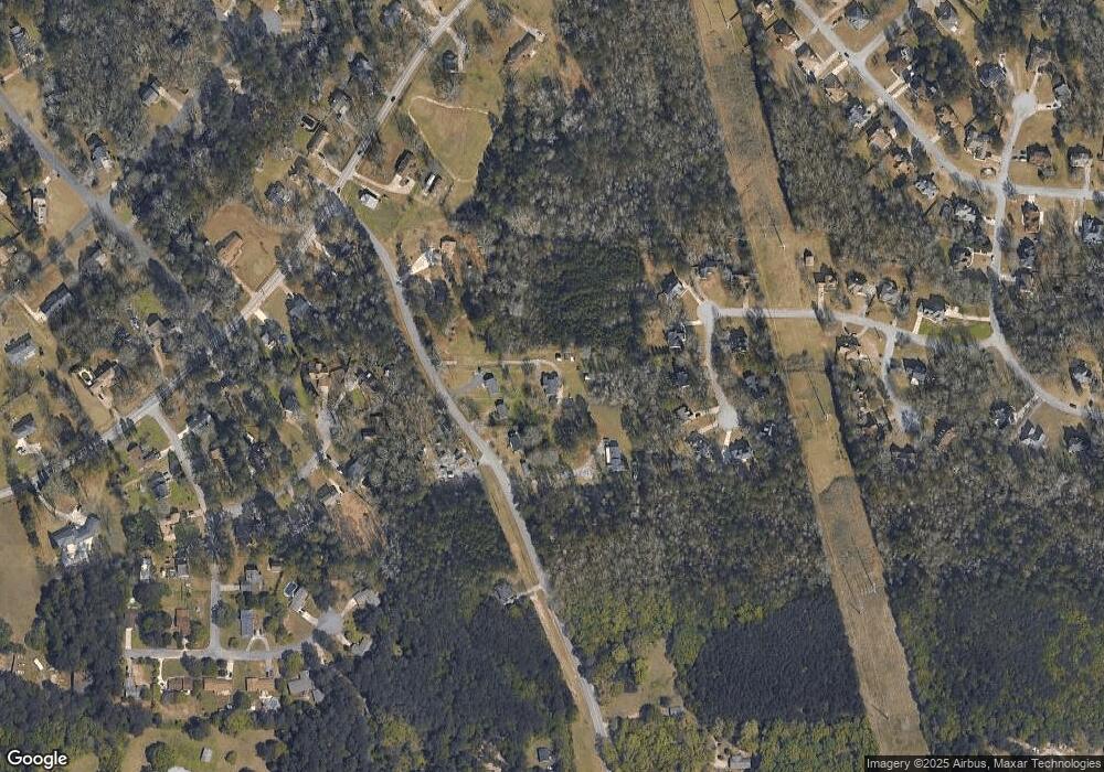
Map
Nearby Homes
- 7942 Rand Rd
- 7940 Rand Rd
- 2173 Martin Way
- 0 Highway 138 E Unit 10460006
- 0 Highway 138 E Unit 10650191
- 0 Highway 138 E Unit 10638505
- 2238 Danver Ct
- 2115 Logan Dr
- 2140 Indian Hill Rd
- 7519 Conkle Rd Unit 2
- 2254 Lisbon Ln
- 2084 Jadestone Ct
- 7583 Sunstone Dr
- 7455 Page Ct
- 1904 Cades Cove
- 1938 Wrights Way
- 7475 Danielle Ct
- 7972 Woods Ln Unit IX
- 1837 Coventry Way
- 8228 Lullwater Ct
- 7850 Rand Rd
- 7844 Rand Rd
- 7860 Rand Rd
- 7870 Rand Rd
- 7828 Rand Rd
- 7874 Rand Rd
- 2328 Runnymede Ct
- 2334 Runnymede Ct Unit IV
- 2322 Runnymede Ct
- 7818 Rand Rd
- 7863 Rand Rd
- 2340 Runnymede Ct
- 2318 Runnymede Ct
- 7810 Rand Rd
- 2245 Silverthorn Ct
- 2346 Runnymede Ct Unit N/a
- 2346 Runnymede Ct
- 2241 Silverthorn Ct
- 2333 Runnymede Ct
- 2314 Runnymede Ct