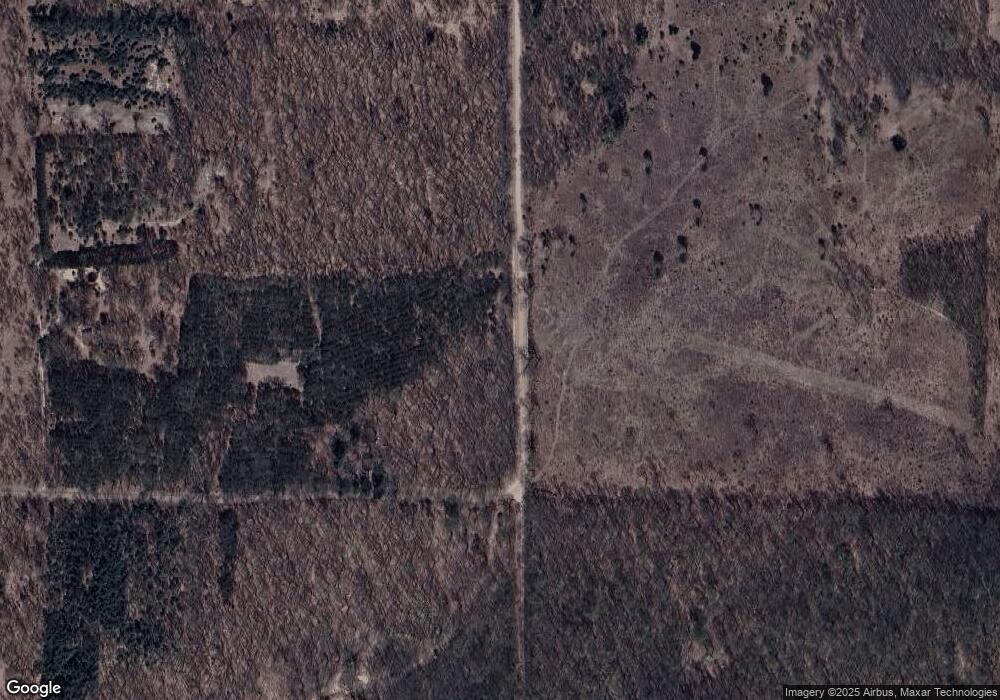
7877 N Stephens Rd Free Soil, MI 49411
Estimated Value: $197,000 - $266,528
3
Beds
2
Baths
1,843
Sq Ft
$128/Sq Ft
Est. Value
About This Home
This home is located at 7877 N Stephens Rd, Free Soil, MI 49411 and is currently estimated at $236,132, approximately $128 per square foot. 7877 N Stephens Rd is a home located in Mason County.
Ownership History
Date
Name
Owned For
Owner Type
Purchase Details
Closed on
Jul 30, 2008
Sold by
Npb Mortgage Llc
Bought by
Stakenas Martin P
Current Estimated Value
Home Financials for this Owner
Home Financials are based on the most recent Mortgage that was taken out on this home.
Original Mortgage
$68,800
Outstanding Balance
$45,288
Interest Rate
6.39%
Mortgage Type
Future Advance Clause Open End Mortgage
Estimated Equity
$190,844
Purchase Details
Closed on
Jan 11, 2007
Sold by
Hulst Calvin L and Hulst Laura A
Bought by
Npb Mortgage Llc
Purchase Details
Closed on
Dec 1, 1998
Create a Home Valuation Report for This Property
The Home Valuation Report is an in-depth analysis detailing your home's value as well as a comparison with similar homes in the area
Home Values in the Area
Average Home Value in this Area
Purchase History
| Date | Buyer | Sale Price | Title Company |
|---|---|---|---|
| Stakenas Martin P | $70,395 | None Available | |
| Npb Mortgage Llc | $117,242 | None Available | |
| -- | $24,500 | -- |
Source: Public Records
Mortgage History
| Date | Status | Borrower | Loan Amount |
|---|---|---|---|
| Open | Stakenas Martin P | $68,800 |
Source: Public Records
Tax History Compared to Growth
Tax History
| Year | Tax Paid | Tax Assessment Tax Assessment Total Assessment is a certain percentage of the fair market value that is determined by local assessors to be the total taxable value of land and additions on the property. | Land | Improvement |
|---|---|---|---|---|
| 2025 | $1,610 | $93,500 | $93,500 | $0 |
| 2024 | -- | $83,900 | $83,900 | $0 |
| 2023 | -- | $65,400 | $65,400 | $0 |
| 2022 | -- | $59,300 | $0 | $0 |
| 2021 | $1,051 | $55,400 | $0 | $0 |
| 2020 | $1,051 | $57,200 | $0 | $0 |
| 2019 | -- | -- | $0 | $0 |
| 2018 | -- | -- | $0 | $0 |
| 2017 | -- | -- | $0 | $0 |
| 2016 | -- | -- | $0 | $0 |
| 2015 | -- | -- | $0 | $0 |
| 2013 | -- | -- | $0 | $0 |
Source: Public Records
Map
Nearby Homes
- 2759 E Michigan St
- V/L E Free Soil Rd
- 0 E Freesoil Unit 40 acres 24030243
- V L 118a E Townline Rd
- 4333 E Town Line Rd
- 7075 N Poplar Rd
- 2269 W Treml Rd
- 1997 E Townline Rd
- V/L 118A E Townline Rd
- 1217 E Beyer Rd
- Parcel 1 E Koenig Rd
- 5680 E Shores Dr
- 6387 N Larson Rd
- 2702 E Hoague Rd
- 10450 N Tuttle Rd
- 7770 N Us Highway 31
- 10560 N Tuttle Rd
- 161 E Sauble Dr
- 6088 N Larson Rd
- 3726 N Custer Rd
- 7985 N Stephens Rd
- 3168 E Freeman Rd
- 3018 E Freeman Rd
- 8140 N Stephens Rd
- 7377 N Stephens Rd
- 7366 N Stephens Rd
- 3225 E Free Soil Rd
- 3225 E Free Soil Rd
- 3225 E Freesoil Rd
- 2935 E Michigan St
- 2827 E Freeman Rd
- 3377 E Free Soil Rd
- 3069 E Michigan St
- 3069 E Michigan St
- 3289 E Free Soil Rd
- 3401 E Free Soil Rd
- 3220 E Freesoil Rd
- 3220 E Free Soil Rd
- 3210 E Free Soil Rd
- 3056 E Michigan St
