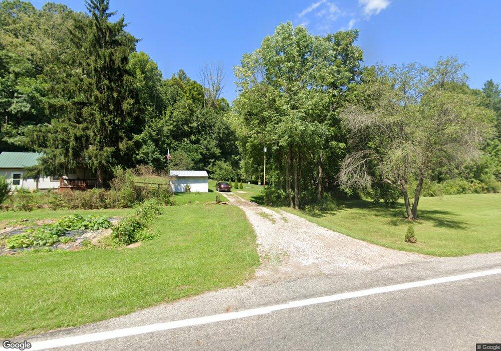
7878 State Route 685 Glouster, OH 45732
Estimated Value: $78,814 - $230,000
3
Beds
1
Bath
1,323
Sq Ft
$116/Sq Ft
Est. Value
About This Home
This home is located at 7878 State Route 685, Glouster, OH 45732 and is currently estimated at $152,954, approximately $115 per square foot. 7878 State Route 685 is a home located in Athens County with nearby schools including Trimble Elementary School, Trimble Middle School, and Trimble High School.
Ownership History
Date
Name
Owned For
Owner Type
Purchase Details
Closed on
Aug 21, 2017
Sold by
Teal Mary Ellen
Bought by
Collins Courtney Ann
Current Estimated Value
Purchase Details
Closed on
Oct 25, 2016
Sold by
Federal Home Loan Mortgage Corporation
Bought by
Teal Mary Ellen
Purchase Details
Closed on
Oct 2, 2015
Sold by
Brooks Gary L and M & T Bank
Bought by
Federal Home Loan Mortgage Corporation
Purchase Details
Closed on
Apr 7, 2008
Sold by
Brooks Trinda D
Bought by
Brooks Gary L
Purchase Details
Closed on
May 16, 2006
Sold by
Brooks Gary L and Hook Trinda D
Bought by
Brooks Gary L and Brooks Trinda D
Purchase Details
Closed on
Mar 11, 2003
Sold by
Carroll Regina
Bought by
Brooks Gary L
Purchase Details
Closed on
May 8, 1996
Bought by
First National Bank Of
Purchase Details
Closed on
Jul 12, 1993
Bought by
First National Bank Of
Purchase Details
Closed on
Jun 21, 1993
Sold by
Stewart Mary
Bought by
First National Bank Of
Purchase Details
Closed on
Dec 1, 1989
Create a Home Valuation Report for This Property
The Home Valuation Report is an in-depth analysis detailing your home's value as well as a comparison with similar homes in the area
Home Values in the Area
Average Home Value in this Area
Purchase History
| Date | Buyer | Sale Price | Title Company |
|---|---|---|---|
| Collins Courtney Ann | $9,000 | Secure Title Services | |
| Teal Mary Ellen | -- | Intitle Agency | |
| Federal Home Loan Mortgage Corporation | $13,334 | Attorney | |
| Brooks Gary L | -- | None Available | |
| Brooks Gary L | -- | None Available | |
| Brooks Gary L | -- | -- | |
| First National Bank Of | $6,000 | -- | |
| First National Bank Of | $5,000 | -- | |
| First National Bank Of | -- | -- | |
| -- | $8,500 | -- |
Source: Public Records
Tax History Compared to Growth
Tax History
| Year | Tax Paid | Tax Assessment Tax Assessment Total Assessment is a certain percentage of the fair market value that is determined by local assessors to be the total taxable value of land and additions on the property. | Land | Improvement |
|---|---|---|---|---|
| 2024 | $609 | $14,360 | $5,060 | $9,300 |
| 2023 | $598 | $14,360 | $5,060 | $9,300 |
| 2022 | $503 | $11,600 | $4,220 | $7,380 |
| 2021 | $515 | $11,600 | $4,220 | $7,380 |
| 2020 | $616 | $11,600 | $4,220 | $7,380 |
| 2019 | $717 | $16,110 | $3,610 | $12,500 |
| 2018 | $790 | $16,110 | $3,610 | $12,500 |
| 2017 | $1,074 | $16,110 | $3,610 | $12,500 |
| 2016 | $727 | $14,890 | $3,280 | $11,610 |
| 2015 | $985 | $14,890 | $3,280 | $11,610 |
| 2014 | $985 | $14,890 | $3,280 | $11,610 |
| 2013 | $815 | $14,090 | $2,810 | $11,280 |
Source: Public Records
Map
Nearby Homes
- 0 Oregon Ridge Rd Unit 23564746
- 0 Greens Run Rd
- 18242 Ohio 13
- 0 Marietta Ave
- 17795 N Akron Ave
- 6 E Main St
- 19477 Center
- 19500 Lake Dr
- 18261 Jacksonville Rd
- 33 S High St
- 31 Locust St
- 13899 Locust St
- 44438 Carbon Hill Buchtel Rd
- 1110 Burr Oak Blvd
- 45747 Long St
- 88 Front St
- 140 Sycamore St
- 93 Main St
- 14611 State Route 13
- 701 Runyon Ln
- 7928 State Route 685
- 7848 State Route 685
- 18355 Modoc Rd
- 18344 Modoc Rd
- 18366 Modoc Rd
- 18373 Modoc Rd
- 7821 State Route 685
- 18370 Modoc Rd
- 7798 State Route 685
- 8004 State Route 685
- 8008 State Route 685
- 8282 Kochis Rd
- 7696 State Route 685
- 18424 Modoc Rd
- 18421 Modoc Rd
- 8267 Kochis Rd
- 7655 State Route 685
- 0 Koches Rd
- 8267 Koches Rd
- 8222 Kochis Rd