7879 Browntown Rd Waynesville, GA 31566
Estimated Value: $329,859 - $501,000
--
Bed
4
Baths
2,606
Sq Ft
$154/Sq Ft
Est. Value
About This Home
This home is located at 7879 Browntown Rd, Waynesville, GA 31566 and is currently estimated at $401,286, approximately $153 per square foot. 7879 Browntown Rd is a home located in Brantley County with nearby schools including Waynesville Primary School, Atkinson Elementary School, and Brantley County Middle School.
Ownership History
Date
Name
Owned For
Owner Type
Purchase Details
Closed on
Jun 28, 2023
Sold by
Edgy Brittany
Bought by
Edgy Christopher Logan
Current Estimated Value
Purchase Details
Closed on
May 21, 2020
Sold by
Edgy Christopher Logan
Bought by
Edgy Christopher Logan and Edgy Brittany
Home Financials for this Owner
Home Financials are based on the most recent Mortgage that was taken out on this home.
Original Mortgage
$96,000
Interest Rate
3.3%
Mortgage Type
New Conventional
Purchase Details
Closed on
Dec 3, 2013
Sold by
Edgy Charles H
Bought by
Edgy Christopher Logan
Create a Home Valuation Report for This Property
The Home Valuation Report is an in-depth analysis detailing your home's value as well as a comparison with similar homes in the area
Home Values in the Area
Average Home Value in this Area
Purchase History
| Date | Buyer | Sale Price | Title Company |
|---|---|---|---|
| Edgy Christopher Logan | -- | -- | |
| Edgy Christopher Logan | -- | -- | |
| Edgy Christopher Logan | $145,000 | -- |
Source: Public Records
Mortgage History
| Date | Status | Borrower | Loan Amount |
|---|---|---|---|
| Previous Owner | Edgy Christopher Logan | $96,000 |
Source: Public Records
Tax History Compared to Growth
Tax History
| Year | Tax Paid | Tax Assessment Tax Assessment Total Assessment is a certain percentage of the fair market value that is determined by local assessors to be the total taxable value of land and additions on the property. | Land | Improvement |
|---|---|---|---|---|
| 2024 | $2,482 | $105,526 | $6,388 | $99,138 |
| 2023 | $2,491 | $103,701 | $4,563 | $99,138 |
| 2022 | $2,461 | $102,701 | $4,563 | $98,138 |
| 2021 | $2,189 | $63,226 | $4,563 | $58,663 |
| 2020 | $2,253 | $63,226 | $4,563 | $58,663 |
| 2019 | $2,251 | $63,226 | $4,563 | $58,663 |
| 2018 | $2,175 | $64,263 | $5,600 | $58,663 |
| 2017 | $2,175 | $64,263 | $5,600 | $58,663 |
| 2016 | $2,289 | $62,000 | $5,600 | $56,400 |
| 2015 | -- | $62,000 | $5,600 | $56,400 |
Source: Public Records
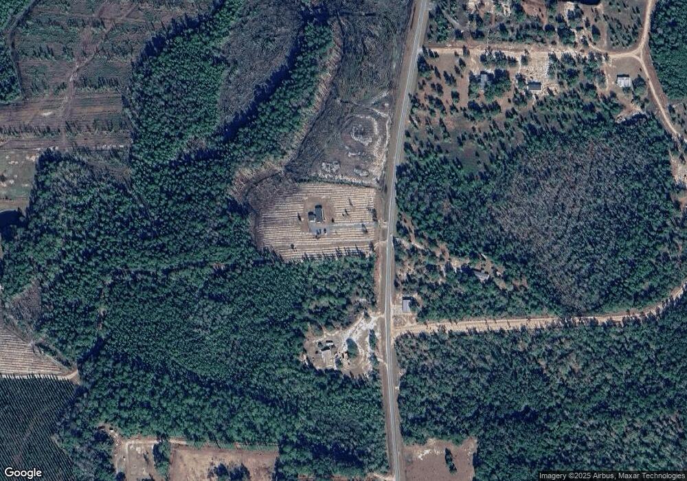
Map
Nearby Homes
- 7535 Browntown Rd
- Off Dogwood Rd
- 3069 Mineral Springs Rd
- 544 Mineral Springs Rd
- 0 Joseph Wiggins Mineral Springs Rd Rd Unit 1615893
- 123 Daniel St
- 0 Dogwood Rd
- 48 Hawks Way
- 53 Hawks Landing Dr
- 781 Stafford Rd
- 2101 Albert Gibson Rd
- 235 Gibson Cir
- 647 Gibson Cir
- 0 Heritage Cir Unit 1655955
- 0 Heritage Cir Unit 1656067
- 0 Heritage Cir Unit 1655952
- 0 Heritage Cir Unit 1656069
- 0 Heritage Cir Unit 1656065
- 45 Heritage Cir
- 277 Carl Burney Rd
- 7669 Browntown Rd
- 0 Browntown Rd
- 7609 Browntown Rd
- 7784 Browntown Rd
- 8002 Browntown Rd
- 8056 Browntown Rd
- 7455 Browntown Rd
- 7455 Browntown Rd
- 7315 Browntown Rd
- 8419 Browntown Rd
- 7253 Browntown Rd
- 7314 Browntown Rd
- 7254 Browntown Rd
- 7166 Browntown Rd
- 7170 Browntown Rd
- 192 Landing Ln
- 188 Greenleaf Rd
- 7031 Browntown Rd
- 71 Howie Way
- 134 Greenleaf Rd