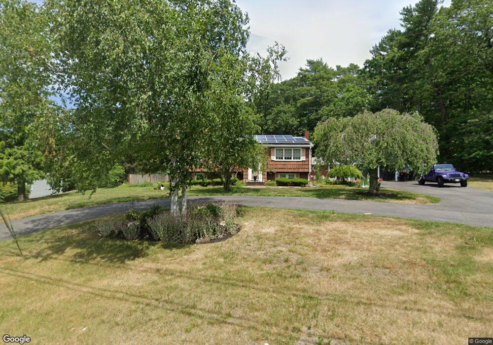
788 Bridge St East Bridgewater, MA 02333
Estimated Value: $634,000 - $878,000
3
Beds
3
Baths
1,621
Sq Ft
$440/Sq Ft
Est. Value
About This Home
This home is located at 788 Bridge St, East Bridgewater, MA 02333 and is currently estimated at $712,681, approximately $439 per square foot. 788 Bridge St is a home located in Plymouth County with nearby schools including Central Elementary School, Gordon W Mitchell Middle School, and East Bridgewater Jr./Sr. High School.
Ownership History
Date
Name
Owned For
Owner Type
Purchase Details
Closed on
Apr 30, 1999
Sold by
Williams Thomas E and Williams Charlotte L
Bought by
Litchfield Leon S and Litchfield Gloria J
Current Estimated Value
Home Financials for this Owner
Home Financials are based on the most recent Mortgage that was taken out on this home.
Original Mortgage
$169,900
Interest Rate
6.95%
Mortgage Type
Purchase Money Mortgage
Create a Home Valuation Report for This Property
The Home Valuation Report is an in-depth analysis detailing your home's value as well as a comparison with similar homes in the area
Home Values in the Area
Average Home Value in this Area
Purchase History
| Date | Buyer | Sale Price | Title Company |
|---|---|---|---|
| Litchfield Leon S | $229,900 | -- |
Source: Public Records
Mortgage History
| Date | Status | Borrower | Loan Amount |
|---|---|---|---|
| Open | Litchfield Leon S | $197,800 | |
| Closed | Litchfield Leon S | $50,000 | |
| Closed | Litchfield Leon S | $169,900 | |
| Previous Owner | Litchfield Leon S | $136,000 |
Source: Public Records
Tax History Compared to Growth
Tax History
| Year | Tax Paid | Tax Assessment Tax Assessment Total Assessment is a certain percentage of the fair market value that is determined by local assessors to be the total taxable value of land and additions on the property. | Land | Improvement |
|---|---|---|---|---|
| 2025 | $7,380 | $539,900 | $181,300 | $358,600 |
| 2024 | $7,251 | $523,900 | $174,300 | $349,600 |
| 2023 | $7,075 | $489,600 | $174,300 | $315,300 |
| 2022 | $6,730 | $431,400 | $158,600 | $272,800 |
| 2021 | $6,474 | $379,700 | $152,300 | $227,400 |
| 2020 | $6,366 | $368,200 | $146,500 | $221,700 |
| 2019 | $6,174 | $351,600 | $140,000 | $211,600 |
| 2018 | $1,829 | $336,600 | $140,000 | $196,600 |
| 2017 | $5,871 | $320,800 | $133,500 | $187,300 |
| 2016 | $5,699 | $313,800 | $133,500 | $180,300 |
| 2015 | $5,532 | $311,500 | $132,600 | $178,900 |
| 2014 | $5,414 | $311,700 | $129,800 | $181,900 |
Source: Public Records
Map
Nearby Homes
- 10 Eliab Latham Way
- 587 Bridge St
- 121 South St
- 71 Stonegate Dr
- 94 Pond St
- 1993 Washington St
- 2045 Washington St
- 23 Stone Meadow Dr
- 182 Crystal Water Dr Unit 182
- 78 Crystal Water Dr
- 217 Crystal Water Dr
- 0 Three Rivers Dr
- 114 Plain St
- 67 Country Dr
- 261 Plymouth St
- 58 Roberts Rd
- 2 Edgewood Cir
- 24 High Pond Dr
- 1 Simmons Place
- 81 Arrowhead Dr
- 774 Bridge St
- 876 Plymouth St
- 762 Bridge St
- 871 Plymouth St
- 838 Plymouth St
- 886 Plymouth St
- 863 Plymouth St
- 890 Plymouth St
- 761 Bridge St
- 853 Plymouth St
- 887 Plymouth St
- 824 Plymouth St
- 740 Bridge St
- 35 Meadowbrook Dr
- 817 Plymouth St
- 917 Plymouth St
- 917 Plymouth St Unit 1
- 917 Plymouth St Unit 2
- 777 Bridge St
- 923 Plymouth St