788 Cemetery Rd Decatur, TX 76234
Estimated Value: $806,000 - $852,785
3
Beds
3
Baths
2,879
Sq Ft
$288/Sq Ft
Est. Value
About This Home
This home is located at 788 Cemetery Rd, Decatur, TX 76234 and is currently estimated at $829,393, approximately $288 per square foot. 788 Cemetery Rd is a home located in Wise County with nearby schools including Decatur High School and Victory Christian Academy.
Ownership History
Date
Name
Owned For
Owner Type
Purchase Details
Closed on
Feb 8, 2018
Sold by
Ford David and Ford Cindy
Bought by
Crawford Shawn M and Crawford Jessica E
Current Estimated Value
Home Financials for this Owner
Home Financials are based on the most recent Mortgage that was taken out on this home.
Original Mortgage
$412,000
Outstanding Balance
$348,927
Interest Rate
3.99%
Mortgage Type
New Conventional
Estimated Equity
$480,466
Create a Home Valuation Report for This Property
The Home Valuation Report is an in-depth analysis detailing your home's value as well as a comparison with similar homes in the area
Home Values in the Area
Average Home Value in this Area
Purchase History
| Date | Buyer | Sale Price | Title Company |
|---|---|---|---|
| Crawford Shawn M | -- | Independence Title Company |
Source: Public Records
Mortgage History
| Date | Status | Borrower | Loan Amount |
|---|---|---|---|
| Open | Crawford Shawn M | $412,000 |
Source: Public Records
Tax History Compared to Growth
Tax History
| Year | Tax Paid | Tax Assessment Tax Assessment Total Assessment is a certain percentage of the fair market value that is determined by local assessors to be the total taxable value of land and additions on the property. | Land | Improvement |
|---|---|---|---|---|
| 2025 | $7,103 | $680,972 | $34,363 | $646,609 |
| 2024 | $7,103 | $687,030 | $34,324 | $652,706 |
| 2023 | $7,937 | $881,291 | $0 | $0 |
| 2022 | $9,214 | $794,389 | $0 | $0 |
| 2021 | $8,683 | $687,990 | $168,840 | $519,150 |
| 2020 | $8,336 | $645,550 | $148,730 | $496,820 |
| 2019 | $7,528 | $566,600 | $148,340 | $418,260 |
| 2018 | $7,088 | $500,680 | $117,120 | $383,560 |
| 2017 | $6,760 | $470,330 | $103,450 | $366,880 |
| 2016 | $5,949 | $449,050 | $82,170 | $366,880 |
| 2015 | -- | $383,540 | $74,560 | $308,980 |
| 2014 | -- | $307,460 | $9,800 | $297,660 |
Source: Public Records
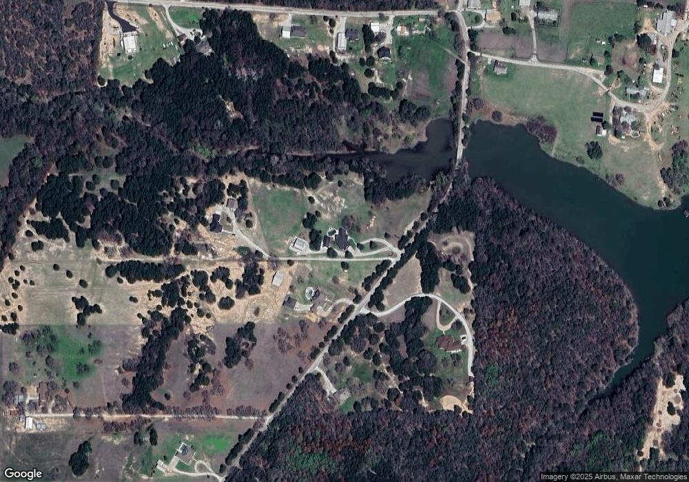
Map
Nearby Homes
- Lot 12 Cedar Springs Estates
- 362 Decatur Cemetery Rd
- 3092 N Trinity St
- 2811 N Trinity St
- 165 Quail Ridge Ct
- 175 Quail Ridge Ct
- 1952 Old Decatur Rd
- 918 Old Decatur Rd
- TBD E Hwy 380 Hwy
- 307 E Vernon St
- 114 Sondra Lin Blvd
- 903 N Miller St
- 802 N Church St
- 304 Cyndilu Ln
- 700 N Church St
- 602 N Cates St
- 1404 Shady Ln
- 2270 County Road 2360
- 1408 N Business 287
- 606 W Mulberry St
- 662 Cemetery Rd
- 652 Cemetery Rd
- 796 Decatur Cemetery Rd
- 831 Cemetery Rd
- 875 Cemetery Rd
- 658 Cemetery Rd
- 626 Cemetery Rd
- 674 Cemetery Rd
- 638 Cemetery Rd
- 614 Cemetery Rd
- 121 County Road 2140
- 660 Cemetery Rd
- 644 Cemetery Rd
- 644 Cemetery Rd
- 643 Cemetery Rd
- 160 County Road 2140
- 896 Decatur Cemetery Rd
- 896 Decatur Cemetery Rd
- 896 Decatur Cemetery Rd
- 914 Cemetery Rd