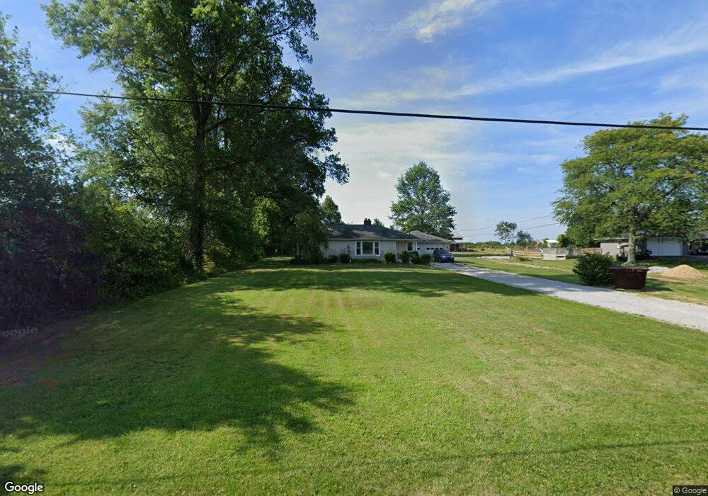
788 Crall Rd Mansfield, OH 44903
Estimated Value: $178,711 - $229,000
3
Beds
1
Bath
1,060
Sq Ft
$190/Sq Ft
Est. Value
About This Home
This home is located at 788 Crall Rd, Mansfield, OH 44903 and is currently estimated at $201,428, approximately $190 per square foot. 788 Crall Rd is a home located in Richland County with nearby schools including Madison High School and Temple-Christian School.
Ownership History
Date
Name
Owned For
Owner Type
Purchase Details
Closed on
Aug 10, 2004
Sold by
Abn Amro Mortgage Group Inc
Bought by
Mack Guy D and Mack Jaclyn G
Current Estimated Value
Home Financials for this Owner
Home Financials are based on the most recent Mortgage that was taken out on this home.
Original Mortgage
$30,400
Outstanding Balance
$15,155
Interest Rate
6.08%
Mortgage Type
Purchase Money Mortgage
Estimated Equity
$186,273
Purchase Details
Closed on
Dec 22, 2003
Sold by
Luckie Patti
Bought by
Abn Amro Mortgage Group Inc
Purchase Details
Closed on
Apr 15, 2002
Sold by
Harold Allen
Bought by
Patti Luckie
Home Financials for this Owner
Home Financials are based on the most recent Mortgage that was taken out on this home.
Original Mortgage
$98,000
Interest Rate
6.82%
Mortgage Type
New Conventional
Create a Home Valuation Report for This Property
The Home Valuation Report is an in-depth analysis detailing your home's value as well as a comparison with similar homes in the area
Home Values in the Area
Average Home Value in this Area
Purchase History
| Date | Buyer | Sale Price | Title Company |
|---|---|---|---|
| Mack Guy D | $38,000 | Accutitle Agency Inc | |
| Abn Amro Mortgage Group Inc | $40,000 | -- | |
| Patti Luckie | $98,000 | -- |
Source: Public Records
Mortgage History
| Date | Status | Borrower | Loan Amount |
|---|---|---|---|
| Open | Mack Guy D | $30,400 | |
| Previous Owner | Patti Luckie | $98,000 |
Source: Public Records
Tax History Compared to Growth
Tax History
| Year | Tax Paid | Tax Assessment Tax Assessment Total Assessment is a certain percentage of the fair market value that is determined by local assessors to be the total taxable value of land and additions on the property. | Land | Improvement |
|---|---|---|---|---|
| 2024 | $1,980 | $39,950 | $11,070 | $28,880 |
| 2023 | $1,980 | $39,950 | $11,070 | $28,880 |
| 2022 | $1,932 | $34,530 | $9,890 | $24,640 |
| 2021 | $1,932 | $34,530 | $9,890 | $24,640 |
| 2020 | $1,946 | $34,530 | $9,890 | $24,640 |
| 2019 | $1,890 | $29,810 | $8,390 | $21,420 |
| 2018 | $1,729 | $29,810 | $8,390 | $21,420 |
| 2017 | $1,691 | $29,810 | $8,390 | $21,420 |
| 2016 | $1,690 | $28,740 | $7,970 | $20,770 |
| 2015 | $1,612 | $28,740 | $7,970 | $20,770 |
| 2014 | $1,606 | $28,740 | $7,970 | $20,770 |
| 2012 | $798 | $30,250 | $8,390 | $21,860 |
Source: Public Records
Map
Nearby Homes
- 0 Hoover Rd
- 1171 Hoover Rd
- 1791 Beal Rd
- 920 Piper Rd
- 1585 Beal Rd
- 1292 Wolford Rd
- 1245 N Stewart Rd
- 1140 5th Ave
- 1158 Delwood Rd
- 1150 Delwood Dr
- 1151 Beal Rd
- 0 Wesley
- 1106 Keller Dr Unit 1108
- 0 Miller Pkwy
- 741 Yale Ave
- 735 Pennsylvania Ave
- 441 Amoy Rd E
- 1806 Richard Dr
- 903 Mayflower Ave
- 1951 Woodmont Rd