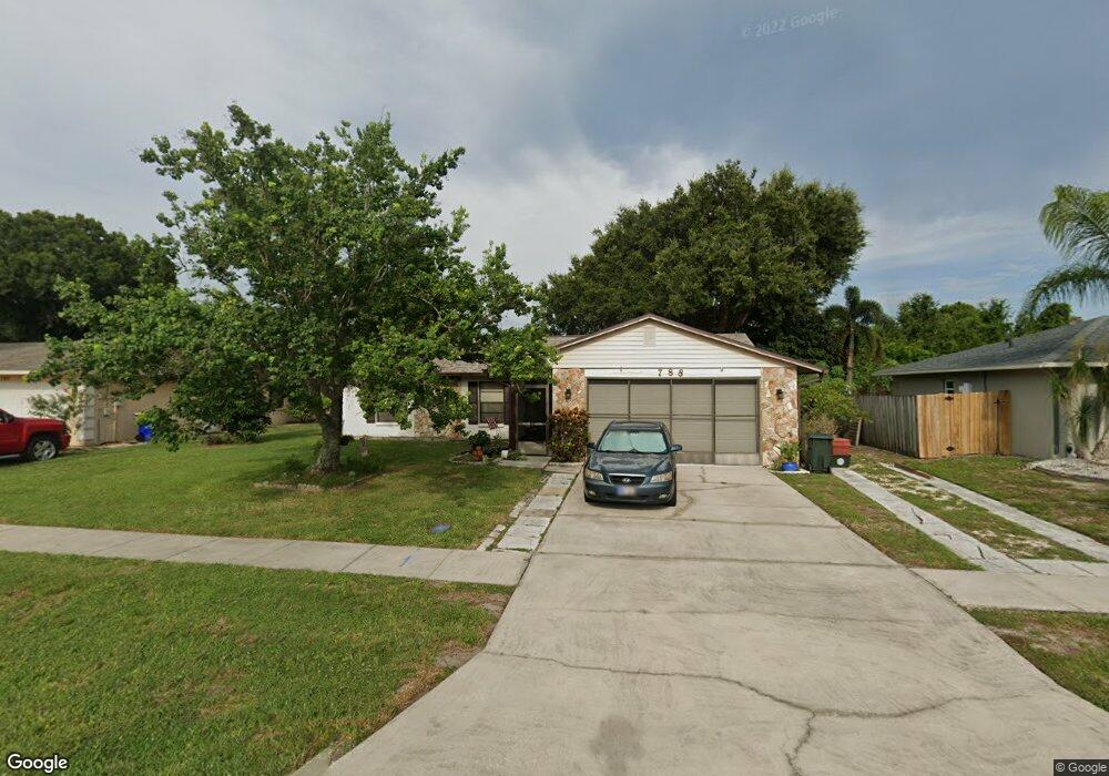
788 Kara Cir Rockledge, FL 32955
Estimated Value: $292,000 - $339,000
3
Beds
2
Baths
1,299
Sq Ft
$243/Sq Ft
Est. Value
About This Home
This home is located at 788 Kara Cir, Rockledge, FL 32955 and is currently estimated at $316,214, approximately $243 per square foot. 788 Kara Cir is a home located in Brevard County with nearby schools including Hans Christian Andersen Elementary School, John F. Kennedy Middle School, and Rockledge Senior High School.
Ownership History
Date
Name
Owned For
Owner Type
Purchase Details
Closed on
Feb 20, 2026
Sold by
Martha Smith
Bought by
Martha A Duske Smith Revocable Family Trust and Smith
Current Estimated Value
Purchase Details
Closed on
May 25, 2005
Sold by
Smith Kathy A
Bought by
Smith David and Smith Martha
Home Financials for this Owner
Home Financials are based on the most recent Mortgage that was taken out on this home.
Original Mortgage
$109,800
Interest Rate
6.1%
Purchase Details
Closed on
Mar 19, 1996
Sold by
Smith David Manton
Bought by
Smith Kathy A
Purchase Details
Closed on
Sep 7, 1994
Sold by
Smith David Manton and Smith Kathy Ann
Bought by
1994 Smith Rev Tr
Create a Home Valuation Report for This Property
The Home Valuation Report is an in-depth analysis detailing your home's value as well as a comparison with similar homes in the area
Home Values in the Area
Average Home Value in this Area
Purchase History
| Date | Buyer | Sale Price | Title Company |
|---|---|---|---|
| Martha A Duske Smith Revocable Family Trust | $100 | None Listed On Document | |
| Smith David | $100,300 | -- | |
| Smith Kathy A | $30,300 | -- | |
| 1994 Smith Rev Tr | -- | -- |
Source: Public Records
Mortgage History
| Date | Status | Borrower | Loan Amount |
|---|---|---|---|
| Previous Owner | Smith David | $109,800 |
Source: Public Records
Tax History
| Year | Tax Paid | Tax Assessment Tax Assessment Total Assessment is a certain percentage of the fair market value that is determined by local assessors to be the total taxable value of land and additions on the property. | Land | Improvement |
|---|---|---|---|---|
| 2025 | $503 | $86,630 | -- | -- |
| 2024 | $477 | $84,190 | -- | -- |
| 2023 | $477 | $81,740 | $0 | $0 |
| 2022 | $478 | $79,360 | $0 | $0 |
| 2021 | $466 | $77,050 | $0 | $0 |
| 2020 | $466 | $75,990 | $0 | $0 |
| 2019 | $459 | $74,290 | $0 | $0 |
| 2018 | $463 | $72,910 | $0 | $0 |
| 2017 | $470 | $71,420 | $0 | $0 |
| 2016 | $584 | $69,960 | $27,500 | $42,460 |
| 2015 | $600 | $69,480 | $27,500 | $41,980 |
| 2014 | $600 | $68,930 | $22,000 | $46,930 |
Source: Public Records
Map
Nearby Homes
- 829 Westport Dr
- 807 Poinciana St
- 811 Topaz Dr
- 821 Hanover Ct
- 876 Brookview Ln
- 864 Yorktowne Dr
- 834 Honeysuckle Dr
- 875 Kings Post Rd
- 984 Bayberry Ln
- 1012 Sabal Grove Dr
- 870 Croton Rd
- 962 Bayberry Ln
- 871 Southern Pine Trail
- 1002 Jacaranda Cir
- 898 Kings Post Rd
- 819 Gardener Rd
- 813 Pine Shadows Ave
- 874 Yellow Pine Ave
- 914 Yorktowne Dr
- 880 Levitt Pkwy
Your Personal Tour Guide
Ask me questions while you tour the home.