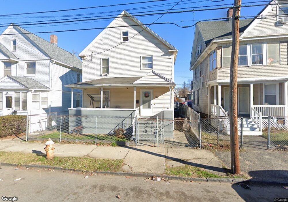
788 Norman St Bridgeport, CT 06605
West End-West Side NeighborhoodEstimated Value: $306,000 - $337,740
4
Beds
2
Baths
1,680
Sq Ft
$193/Sq Ft
Est. Value
About This Home
This home is located at 788 Norman St, Bridgeport, CT 06605 and is currently estimated at $323,935, approximately $192 per square foot. 788 Norman St is a home located in Fairfield County with nearby schools including James J. Curiale School, Bassick High School, and Catholic Academy of Bridgeport-St. Raphael Academy.
Ownership History
Date
Name
Owned For
Owner Type
Purchase Details
Closed on
Dec 28, 2005
Sold by
Deleon Nafiali and Deleon Yenni
Bought by
Lowhar Junior
Current Estimated Value
Purchase Details
Closed on
Feb 18, 1994
Sold by
Peoples Bk
Bought by
Makhran Joussef
Create a Home Valuation Report for This Property
The Home Valuation Report is an in-depth analysis detailing your home's value as well as a comparison with similar homes in the area
Home Values in the Area
Average Home Value in this Area
Purchase History
| Date | Buyer | Sale Price | Title Company |
|---|---|---|---|
| Lowhar Junior | $210,000 | -- | |
| Lowhar Junior | $210,000 | -- | |
| Makhran Joussef | $16,000 | -- | |
| Makhran Joussef | $16,000 | -- |
Source: Public Records
Mortgage History
| Date | Status | Borrower | Loan Amount |
|---|---|---|---|
| Open | Makhran Joussef | $52,300 | |
| Open | Makhran Joussef | $182,000 |
Source: Public Records
Tax History Compared to Growth
Tax History
| Year | Tax Paid | Tax Assessment Tax Assessment Total Assessment is a certain percentage of the fair market value that is determined by local assessors to be the total taxable value of land and additions on the property. | Land | Improvement |
|---|---|---|---|---|
| 2025 | $5,471 | $125,920 | $40,180 | $85,740 |
| 2024 | $5,471 | $125,920 | $40,180 | $85,740 |
| 2023 | $5,471 | $125,920 | $40,180 | $85,740 |
| 2022 | $5,471 | $125,920 | $40,180 | $85,740 |
| 2021 | $5,471 | $125,920 | $40,180 | $85,740 |
| 2020 | $5,388 | $99,790 | $24,360 | $75,430 |
| 2019 | $5,388 | $99,790 | $24,360 | $75,430 |
| 2018 | $5,426 | $99,790 | $24,360 | $75,430 |
| 2017 | $5,426 | $99,790 | $24,360 | $75,430 |
| 2016 | $5,426 | $99,790 | $24,360 | $75,430 |
| 2015 | $5,301 | $125,620 | $36,850 | $88,770 |
| 2014 | $5,301 | $125,620 | $36,850 | $88,770 |
Source: Public Records
Map
Nearby Homes
- 826 Norman St
- 1373 Iranistan Ave
- 60 Olive St
- 414 Wood Ave
- 592 Norman St Unit 594
- 566 Wood Ave
- 1199 Iranistan Ave Unit 1201
- 700 Laurel Ave
- 1872 North Ave Unit 1874
- 393 Laurel Ave Unit 203
- 393 Laurel Ave Unit 415
- 697 Laurel Ave
- 309 Pequonnock St
- 213 Harral Ave Unit 215
- 687 Wood Ave
- 200 Harral Ave
- 670 Clinton Ave
- 357 Norman St
- 533 Clinton Ave
- 184 Pacific St
- 782 Norman St
- 782 Norman St
- 782 Norman St Unit 1227 Iranistan Av
- 794 Norman St
- 776 Norman St
- 802 Norman St
- 787 Norman St Unit 789
- 787 Norman St Unit 2.5
- 793 Norman St Unit 795
- 799 Norman St Unit 803
- 781 Norman St Unit 783
- 808 Norman St
- 773 Norman St Unit 775
- 765 Norman St Unit 767
- 762 Norman St
- 768 Norman St Unit 770
- 768 Norman St Unit 1
- 54 Brothwell St Unit 56
- 816 Norman St
- 46 Brothwell St