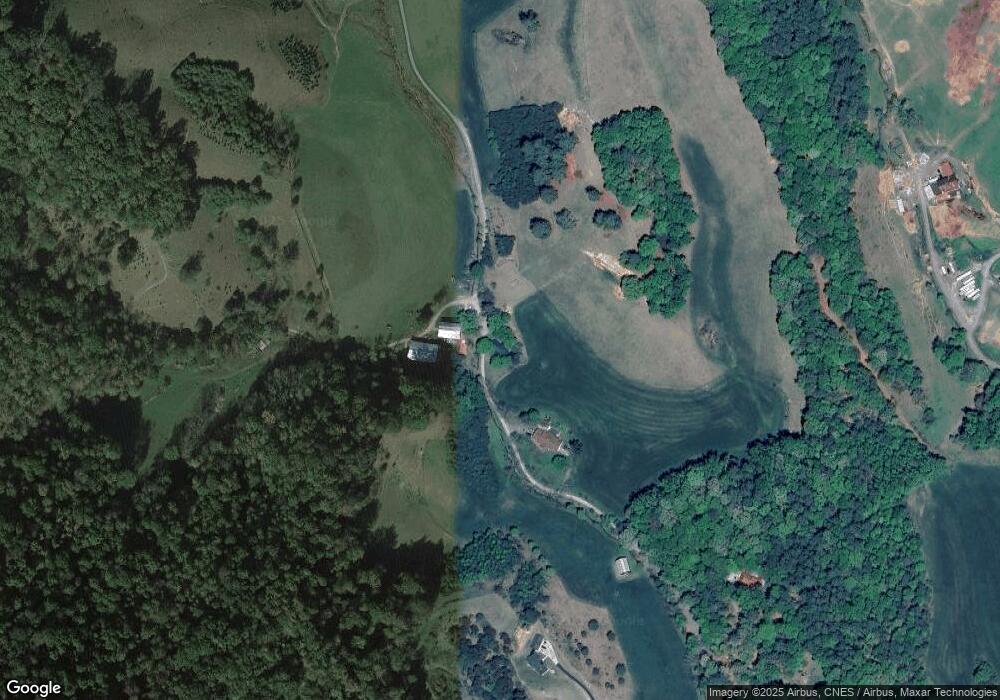
788 Shake Rag Rd Mars Hill, NC 28754
Estimated Value: $390,018 - $570,000
--
Bed
--
Bath
2,319
Sq Ft
$218/Sq Ft
Est. Value
About This Home
This home is located at 788 Shake Rag Rd, Mars Hill, NC 28754 and is currently estimated at $505,505, approximately $217 per square foot. 788 Shake Rag Rd is a home located in Madison County with nearby schools including Madison Middle School.
Ownership History
Date
Name
Owned For
Owner Type
Purchase Details
Closed on
Sep 25, 2014
Sold by
Thomas Amanda and Thomas Amanda F
Bought by
Thomas James Ronald
Current Estimated Value
Home Financials for this Owner
Home Financials are based on the most recent Mortgage that was taken out on this home.
Original Mortgage
$216,000
Outstanding Balance
$163,436
Interest Rate
3.75%
Mortgage Type
Adjustable Rate Mortgage/ARM
Estimated Equity
$342,069
Purchase Details
Closed on
Dec 19, 1996
Bought by
Thomas James R and Thomas Amanda F
Create a Home Valuation Report for This Property
The Home Valuation Report is an in-depth analysis detailing your home's value as well as a comparison with similar homes in the area
Home Values in the Area
Average Home Value in this Area
Purchase History
| Date | Buyer | Sale Price | Title Company |
|---|---|---|---|
| Thomas James Ronald | -- | None Available | |
| Thomas James R | -- | -- |
Source: Public Records
Mortgage History
| Date | Status | Borrower | Loan Amount |
|---|---|---|---|
| Open | Thomas James Ronald | $216,000 |
Source: Public Records
Tax History Compared to Growth
Tax History
| Year | Tax Paid | Tax Assessment Tax Assessment Total Assessment is a certain percentage of the fair market value that is determined by local assessors to be the total taxable value of land and additions on the property. | Land | Improvement |
|---|---|---|---|---|
| 2024 | $1,597 | $314,785 | $32,054 | $282,731 |
| 2023 | $1,229 | $177,758 | $19,021 | $158,737 |
| 2022 | $1,229 | $177,758 | $19,021 | $158,737 |
| 2021 | $1,229 | $177,758 | $19,021 | $158,737 |
| 2020 | $1,229 | $177,758 | $19,021 | $158,737 |
| 2019 | $872 | $111,187 | $18,247 | $92,940 |
| 2018 | $678 | $0 | $0 | $0 |
| 2017 | $678 | $0 | $0 | $0 |
| 2016 | $678 | $0 | $0 | $0 |
| 2015 | -- | $0 | $0 | $0 |
| 2014 | -- | $111,186 | $18,247 | $92,939 |
| 2013 | -- | $111,186 | $18,247 | $92,939 |
Source: Public Records
Map
Nearby Homes
- 700 Wooded Mountain Trail
- 1 Pearl Way
- 262 Appalachian Way
- 290 Appalachian Way
- 6090 and 6129 Us 23 Hwy
- 821 Crooked Creek Rd
- 107 Clear View Dr
- 48 Patriot Place Unit 37
- 141 Sunrise Dr Unit 14
- 151 Sandys Home Place
- 184 Sandys Home Place
- 11 Sandys Home Place Unit Lot 7B
- 271 Amanda Dr Unit Lot 6a
- 345 Sycamore Ridge Dr
- 404 Amanda Dr
- 784 Fred Holcombe Rd
- 00 Granny Shepherd Rd
- 4739 Us 23 Hwy
- 4755 US 23 Hwy
- 192 Granny Shepherd Rd
- 712 Shake Rag Rd
- 508 Shake Rag Rd
- 663 Buckner Branch Rd
- 465 Shake Rag Rd
- 395 Shake Rag Rd
- 661 Buckner Branch Rd
- 500 Shake Rag Rd
- 500 Shake Rag Rd
- 371 Shake Rag Rd
- 656 Buckner Branch Rd
- 562 Buckner Branch Rd
- 482 Buckner Branch Rd
- 174 Hill Rice Rd
- 685 Buckner Branch Rd
- 436 Buckner Branch Rd
- 564 Buckner Branch Rd
- 370 Buckner Branch Rd
- 560 Buckner Branch Rd
- 690 Buckner Branch Rd
- 356 Buckner Branch Rd
