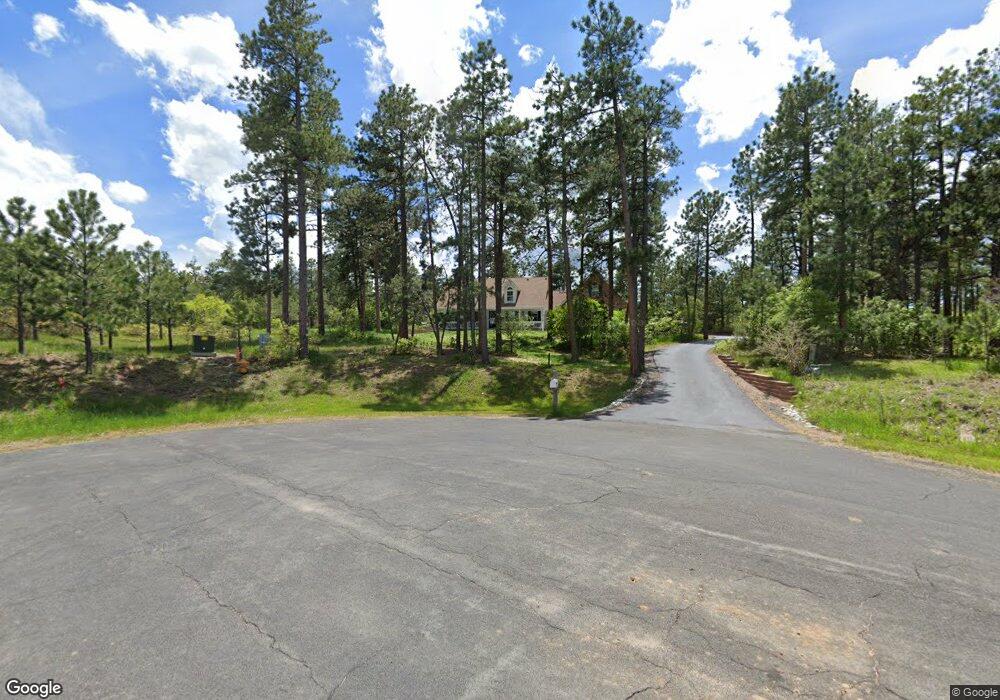
7881 Cinnamon Cir Larkspur, CO 80118
Estimated Value: $875,990 - $1,088,000
3
Beds
3
Baths
2,629
Sq Ft
$382/Sq Ft
Est. Value
About This Home
This home is located at 7881 Cinnamon Cir, Larkspur, CO 80118 and is currently estimated at $1,004,498, approximately $382 per square foot. 7881 Cinnamon Cir is a home located in Douglas County with nearby schools including Larkspur Elementary School, Castle Rock Middle School, and Castle View High School.
Ownership History
Date
Name
Owned For
Owner Type
Purchase Details
Closed on
Jul 11, 1997
Sold by
Dyrud David E and Dyrud Tracy L
Bought by
Sanford Kenneth C and Sanford Mary C
Current Estimated Value
Home Financials for this Owner
Home Financials are based on the most recent Mortgage that was taken out on this home.
Original Mortgage
$220,000
Outstanding Balance
$31,164
Interest Rate
7.37%
Estimated Equity
$973,334
Purchase Details
Closed on
May 17, 1996
Sold by
Sterling Pointe Dev
Bought by
Dyrud David E Dyrud Tracy L
Create a Home Valuation Report for This Property
The Home Valuation Report is an in-depth analysis detailing your home's value as well as a comparison with similar homes in the area
Home Values in the Area
Average Home Value in this Area
Purchase History
| Date | Buyer | Sale Price | Title Company |
|---|---|---|---|
| Sanford Kenneth C | $275,000 | Land Title | |
| Dyrud David E Dyrud Tracy L | $69,900 | -- |
Source: Public Records
Mortgage History
| Date | Status | Borrower | Loan Amount |
|---|---|---|---|
| Open | Sanford Kenneth C | $220,000 |
Source: Public Records
Tax History Compared to Growth
Tax History
| Year | Tax Paid | Tax Assessment Tax Assessment Total Assessment is a certain percentage of the fair market value that is determined by local assessors to be the total taxable value of land and additions on the property. | Land | Improvement |
|---|---|---|---|---|
| 2024 | $4,628 | $57,860 | $21,360 | $36,500 |
| 2023 | $4,674 | $57,860 | $21,360 | $36,500 |
| 2022 | $3,476 | $43,650 | $14,580 | $29,070 |
| 2021 | $3,598 | $43,650 | $14,580 | $29,070 |
| 2020 | $2,965 | $38,020 | $9,920 | $28,100 |
| 2019 | $2,975 | $38,020 | $9,920 | $28,100 |
| 2018 | $3,165 | $32,260 | $9,110 | $23,150 |
| 2017 | $2,975 | $32,260 | $9,110 | $23,150 |
| 2016 | $3,190 | $34,030 | $10,750 | $23,280 |
| 2015 | $3,120 | $34,030 | $10,750 | $23,280 |
| 2014 | $2,873 | $29,390 | $9,950 | $19,440 |
Source: Public Records
Map
Nearby Homes
- 1025 Tenderfoot Dr
- 1600 Independence Dr Unit 50
- 7596 Rollins Dr
- 1065 Independence Dr
- 1038 Tenderfoot Dr
- 1653 Gore Dr
- 1935 Poncha Ct
- 950 Tenderfoot Dr
- 929 Tenderfoot Dr
- 0 E Cherry Creek Rd Unit 2541327
- 0 E Cherry Creek Rd Unit REC1786246
- 7317 Fremont Place
- 1892 Lake Dr
- 7169 Independence Ct
- 1275 Fremont Dr
- 691 Cumberland Rd
- 1210 Kenosha Dr
- 1151 Kenosha Dr
- 1805 Senecio Dr
- 670 Independence Dr
- 7882 Cinnamon Cir
- 1544 Cinnamon Rd
- 1441 Tenderfoot Dr
- 1614 Cinnamon Rd
- 7868 Cinnamon Cir
- 1588 Cinnamon Rd
- 1498 Cinnamon Rd
- 1389 Tenderfoot Dr
- 7708 Rollins Dr
- 7583 Shrine Rd
- 1676 Cinnamon Rd
- 1565 Cinnamon Rd
- 1487 Tenderfoot Dr
- 7595 Shrine Rd
- 7573 Shrine Rd
- 1454 Cinnamon Rd
- 7645 Rollins Dr
- 7704 Rollins Dr
- 7770 Corona Ct
- 7611 Shrine Rd