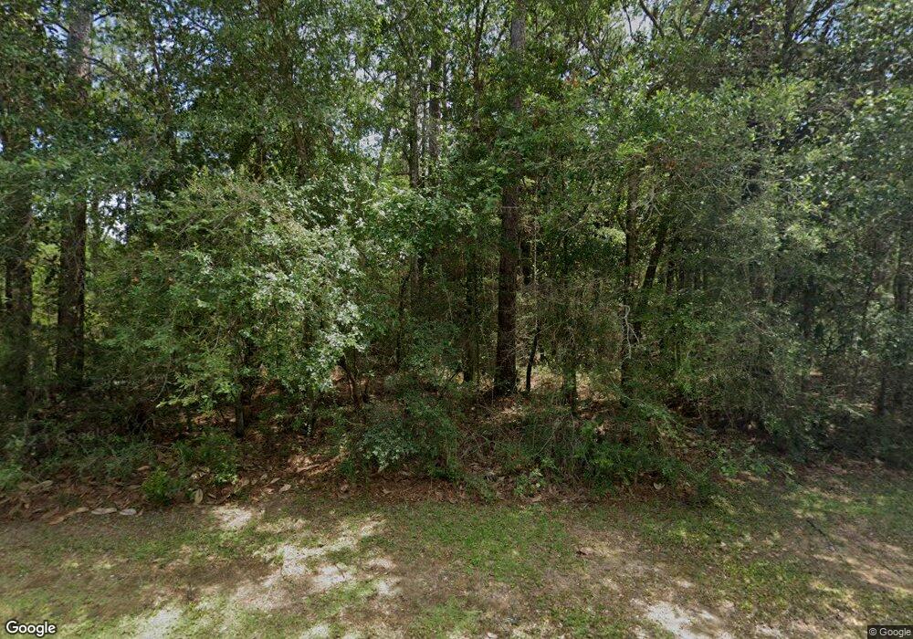
7881 Fordham Rd Mobile, AL 36619
Prospect NeighborhoodEstimated Value: $367,000 - $427,000
3
Beds
4
Baths
3,334
Sq Ft
$120/Sq Ft
Est. Value
About This Home
This home is located at 7881 Fordham Rd, Mobile, AL 36619 and is currently estimated at $401,125, approximately $120 per square foot. 7881 Fordham Rd is a home located in Mobile County with nearby schools including O'rourke Elementary School, Bernice J Causey Middle School, and Baker High School.
Ownership History
Date
Name
Owned For
Owner Type
Purchase Details
Closed on
Mar 29, 2021
Sold by
Carlisle Brenda B
Bought by
Wilkes Jeffrey Thomas and Wilkes Kimberly Thomas
Current Estimated Value
Home Financials for this Owner
Home Financials are based on the most recent Mortgage that was taken out on this home.
Original Mortgage
$260,000
Outstanding Balance
$232,132
Interest Rate
2.73%
Mortgage Type
New Conventional
Estimated Equity
$168,993
Create a Home Valuation Report for This Property
The Home Valuation Report is an in-depth analysis detailing your home's value as well as a comparison with similar homes in the area
Home Values in the Area
Average Home Value in this Area
Purchase History
| Date | Buyer | Sale Price | Title Company |
|---|---|---|---|
| Wilkes Jeffrey Thomas | $325,000 | None Available |
Source: Public Records
Mortgage History
| Date | Status | Borrower | Loan Amount |
|---|---|---|---|
| Open | Wilkes Jeffrey Thomas | $260,000 |
Source: Public Records
Tax History Compared to Growth
Tax History
| Year | Tax Paid | Tax Assessment Tax Assessment Total Assessment is a certain percentage of the fair market value that is determined by local assessors to be the total taxable value of land and additions on the property. | Land | Improvement |
|---|---|---|---|---|
| 2025 | $1,940 | $39,150 | $4,160 | $34,990 |
| 2024 | $1,940 | $36,360 | $4,160 | $32,200 |
| 2023 | $1,816 | $33,310 | $5,010 | $28,300 |
| 2022 | $1,565 | $33,620 | $5,010 | $28,610 |
| 2021 | $875 | $21,820 | $3,900 | $17,920 |
| 2020 | $985 | $21,690 | $4,550 | $17,140 |
| 2019 | $1,116 | $24,390 | $4,550 | $19,840 |
| 2018 | $1,129 | $24,660 | $0 | $0 |
| 2017 | $1,104 | $24,140 | $0 | $0 |
| 2016 | $1,129 | $24,660 | $0 | $0 |
| 2013 | $1,058 | $22,960 | $0 | $0 |
Source: Public Records
Map
Nearby Homes
- 7820 Fordham Rd
- 7810 Country Dr
- 3548 Schillinger Rd S
- 3661 Leroy Stevens Rd
- 3864 Leroy Stevens Rd
- 0 Schillinger Rd S Unit 7638709
- 7506 Carlson Ct
- 7801 Lantern Way
- 3361 Schillinger Rd S
- 7440 Meadows Dr S
- The Lakeside Plan at Valor Ridge
- The Booth Plan at Valor Ridge
- The Cairn Plan at Valor Ridge
- The Aria Plan at Valor Ridge
- The Sawyer Plan at Valor Ridge
- The Denton Plan at Valor Ridge
- The Cali Plan at Valor Ridge
- 7910 Valor Ridge Way N
- 7375 Morse Loop
- 4328 Hoffman Rd
- 7861 Fordham Rd
- 7941 Fordham Rd
- 7851 Fordham Rd
- 7870 Tower Dr
- 7880 Tower Dr
- 7860 Tower Dr
- 7900 Tower Dr
- 7850 Tower Dr
- 7920 Tower Dr
- 0 Tower Dr Unit 7075193
- 0 Tower Dr Unit 7075190
- 0 Tower Dr Unit 15 0519427
- 0 Tower Dr Unit 16 0519426
- 0 Tower Dr Unit 16 0256619
- 0 Tower Dr Unit 15 0256617
- 0 Tower Dr Unit 16
- 0 Tower Dr Unit 15
- 7930 Tower Dr
- 7801 Fordham Rd
- 7821 Fordham Rd
