Estimated Value: $481,488 - $785,000
3
Beds
1
Bath
1,012
Sq Ft
$564/Sq Ft
Est. Value
About This Home
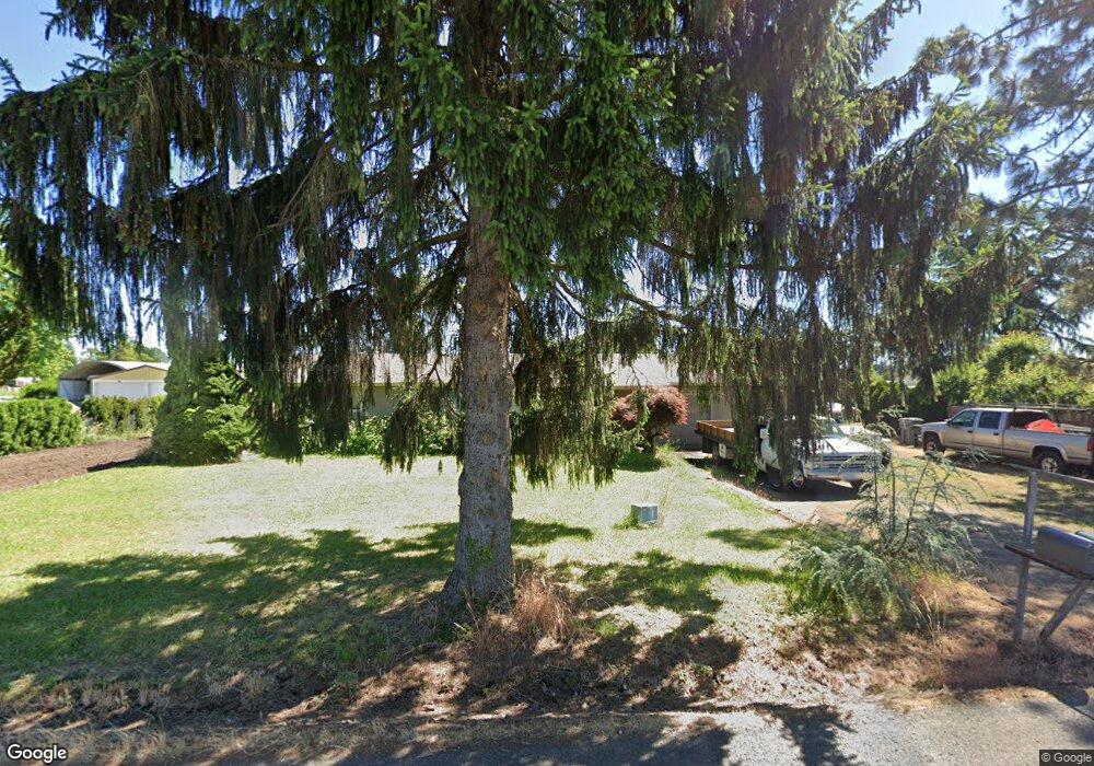
This home is located at 7886 S Mark Rd, Canby, OR 97013 and is currently estimated at $570,872, approximately $564 per square foot. 7886 S Mark Rd is a home located in Clackamas County with nearby schools including Philander Lee Elementary School, Baker Prairie Middle School, and Canby High School.
Ownership History
Date
Name
Owned For
Owner Type
Purchase Details
Closed on
Oct 3, 2018
Sold by
Walker Daniel and Parker Vicki
Bought by
Walker Daniel G
Current Estimated Value
Home Financials for this Owner
Home Financials are based on the most recent Mortgage that was taken out on this home.
Original Mortgage
$276,760
Outstanding Balance
$242,748
Interest Rate
4.87%
Mortgage Type
FHA
Estimated Equity
$328,124
Purchase Details
Closed on
Mar 6, 2014
Sold by
Marquis Todd A
Bought by
Walker Daniel and Parker Vicki
Home Financials for this Owner
Home Financials are based on the most recent Mortgage that was taken out on this home.
Original Mortgage
$225,834
Interest Rate
4.4%
Mortgage Type
FHA
Purchase Details
Closed on
Sep 9, 2013
Sold by
Stagl Michelle
Bought by
Marquis Todd A
Create a Home Valuation Report for This Property
The Home Valuation Report is an in-depth analysis detailing your home's value as well as a comparison with similar homes in the area
Purchase History
| Date | Buyer | Sale Price | Title Company |
|---|---|---|---|
| Walker Daniel G | -- | Old Republic Title | |
| Walker Daniel | $230,000 | First American | |
| Marquis Todd A | -- | None Available |
Source: Public Records
Mortgage History
| Date | Status | Borrower | Loan Amount |
|---|---|---|---|
| Open | Walker Daniel G | $276,760 | |
| Closed | Walker Daniel | $225,834 |
Source: Public Records
Tax History
| Year | Tax Paid | Tax Assessment Tax Assessment Total Assessment is a certain percentage of the fair market value that is determined by local assessors to be the total taxable value of land and additions on the property. | Land | Improvement |
|---|---|---|---|---|
| 2025 | $2,978 | $208,068 | -- | -- |
| 2024 | $2,895 | $202,008 | -- | -- |
| 2023 | $2,895 | $196,125 | $0 | $0 |
| 2022 | $2,647 | $190,413 | $0 | $0 |
| 2021 | $2,544 | $184,867 | $0 | $0 |
| 2020 | $2,505 | $179,483 | $0 | $0 |
| 2019 | $2,374 | $174,256 | $0 | $0 |
| 2018 | $2,326 | $169,181 | $0 | $0 |
| 2017 | $2,269 | $164,253 | $0 | $0 |
| 2016 | $2,191 | $159,469 | $0 | $0 |
Source: Public Records
Map
Nearby Homes
- 8949 S Gribble Rd
- 6884 S Hansen Ln
- 6939 S Zimmerman Rd
- 26026 S Meridian Rd
- 25820 S Linda Rd
- 1918 S Holly St
- 21022 Jennymarie Ln NE
- 224 SW 18th Ave
- 1894 S Holly St
- 1157 SE 18th Ave
- 1146 SE 18th Ave
- 1175 SE 18th Ave
- 1165 SE 18th Ave
- 1156 SE 18th Ave
- 1196 SE 18th Ave
- 1197 SE 18th Ave
- 1150 SE 18th Ave
- 20800 Yosemite St NE
- 1655 S Elm St Unit 526
- 1655 S Elm St Unit 14
- 7908 S Mark Rd
- 7868 S Mark Rd
- 7936 S Mark Rd
- 27149 S Dave Rd
- 27169 S Dave Rd
- 7841 S Mark Rd
- 7802 S Mark Rd
- 7950 S Mark Rd
- 27200 S Dave Rd
- 7780 S Mark Rd
- 27225 S Dave Rd
- 7988 S Mark Rd
- 27224 S Dave Rd
- 8022 S Mark Rd
- 27250 S Dave Rd
- 27215 S Gribble Rd
- 27251 S Dave Rd
- 27276 S Dave Rd
- 27135 S Gribble Rd
- 7750 S Mark Rd
Your Personal Tour Guide
Ask me questions while you tour the home.