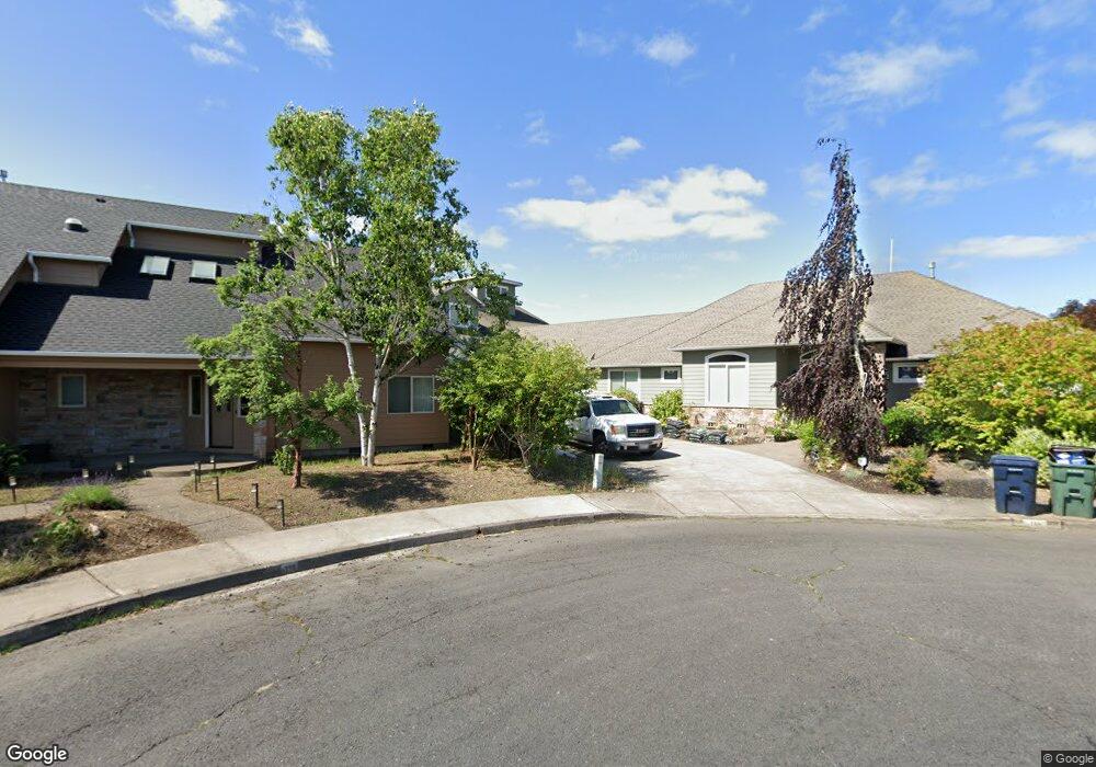
789 Airport Way Independence, OR 97351
Estimated Value: $972,000 - $1,121,000
3
Beds
3
Baths
4,184
Sq Ft
$247/Sq Ft
Est. Value
About This Home
This home is located at 789 Airport Way, Independence, OR 97351 and is currently estimated at $1,034,220, approximately $247 per square foot. 789 Airport Way is a home located in Polk County with nearby schools including Independence Elementary School, Talmadge Middle School, and Central High School.
Ownership History
Date
Name
Owned For
Owner Type
Purchase Details
Closed on
Oct 17, 2022
Sold by
Gallaher Dale
Bought by
Vanpelt Matthew C and Schultz Annesia
Current Estimated Value
Home Financials for this Owner
Home Financials are based on the most recent Mortgage that was taken out on this home.
Original Mortgage
$715,000
Outstanding Balance
$686,177
Interest Rate
5.66%
Mortgage Type
New Conventional
Estimated Equity
$348,043
Purchase Details
Closed on
Jan 30, 2007
Sold by
Gallaher Dale
Bought by
Gallaher Dale and Gallaher Sandra B
Purchase Details
Closed on
Nov 16, 2005
Sold by
Boyanton Hugh E
Bought by
Gallaher Dale
Purchase Details
Closed on
Jul 29, 2005
Sold by
Hodges Gary M
Bought by
Boyanton Hugh E
Create a Home Valuation Report for This Property
The Home Valuation Report is an in-depth analysis detailing your home's value as well as a comparison with similar homes in the area
Home Values in the Area
Average Home Value in this Area
Purchase History
| Date | Buyer | Sale Price | Title Company |
|---|---|---|---|
| Vanpelt Matthew C | $960,000 | Ticor Title | |
| Gallaher Dale | -- | None Available | |
| Gallaher Dale | $165,000 | Fidelity Natl Title Co Of Or | |
| Boyanton Hugh E | $125,000 | Fidelity Natl Title Co Of Or |
Source: Public Records
Mortgage History
| Date | Status | Borrower | Loan Amount |
|---|---|---|---|
| Open | Vanpelt Matthew C | $715,000 | |
| Closed | Vanpelt Matthew C | $53,000 |
Source: Public Records
Tax History Compared to Growth
Tax History
| Year | Tax Paid | Tax Assessment Tax Assessment Total Assessment is a certain percentage of the fair market value that is determined by local assessors to be the total taxable value of land and additions on the property. | Land | Improvement |
|---|---|---|---|---|
| 2025 | $11,920 | $677,840 | $84,750 | $593,090 |
| 2024 | $11,920 | $658,100 | $82,280 | $575,820 |
| 2023 | $12,225 | $598,870 | $79,880 | $518,990 |
| 2022 | $10,519 | $581,430 | $77,550 | $503,880 |
| 2021 | $10,402 | $564,500 | $75,290 | $489,210 |
| 2020 | $10,131 | $548,060 | $73,090 | $474,970 |
| 2019 | $9,867 | $532,100 | $70,960 | $461,140 |
| 2018 | $9,553 | $516,610 | $68,890 | $447,720 |
| 2017 | $9,500 | $501,570 | $66,890 | $434,680 |
| 2016 | $9,675 | $486,970 | $64,940 | $422,030 |
| 2015 | $9,297 | $472,790 | $63,050 | $409,740 |
| 2014 | $9,098 | $459,020 | $61,210 | $397,810 |
Source: Public Records
Map
Nearby Homes
- 914 James St
- 941 Wild Rose Ct
- 8575 Hoffman Rd
- 215 Polk St
- 1026 Sassafras St
- 552 Log Cabin St
- 212 Picture St
- 1361 Marigold Dr
- 470 N Gun Club Rd
- 320 N Gun Club Rd
- 250 N Gun Club Rd
- 488 B St
- 1555 Adams St
- 544 C St
- 1220 Monmouth (Unit 12) St
- 389 C St
- 89 S Gun Club Rd
- 950 D St
- 144 S Main St
- 1135 Monmouth St
- 779 Airport Way
- 790 Airport Way
- 749 Airport Way
- 780 Airport Way
- 752 Aeronca St
- 750 Airport Way
- 742 Aeronca St
- 729 Airport Way
- 732 Aeronca St
- 730 Airport Way
- Lot 2700 Aeronca St
- Lot 2800 Aeronca St
- 709 Airport Way
- 722 Aeronca St
- 783 Piper St
- 761 Aeronca St
- 793 Piper St
- 710 Airport Way
- 781 Piper St
- 751 Aeronca St