789 Main St Acushnet, MA 02743
Upper Acushnet NeighborhoodEstimated Value: $1,085,356
Studio
--
Bath
5,492
Sq Ft
$198/Sq Ft
Est. Value
About This Home
This home is located at 789 Main St, Acushnet, MA 02743 and is currently estimated at $1,085,356, approximately $197 per square foot. 789 Main St is a home located in Bristol County with nearby schools including Acushnet Elementary School, Albert F Ford Middle School, and St Francis Xavier Elementary School.
Ownership History
Date
Name
Owned For
Owner Type
Purchase Details
Closed on
Oct 11, 2011
Sold by
Lp Rt and Plaud Howard S
Bought by
New Life Pentecostal C
Current Estimated Value
Home Financials for this Owner
Home Financials are based on the most recent Mortgage that was taken out on this home.
Original Mortgage
$250,000
Outstanding Balance
$171,330
Interest Rate
4.2%
Mortgage Type
Commercial
Estimated Equity
$914,026
Create a Home Valuation Report for This Property
The Home Valuation Report is an in-depth analysis detailing your home's value as well as a comparison with similar homes in the area
Home Values in the Area
Average Home Value in this Area
Purchase History
| Date | Buyer | Sale Price | Title Company |
|---|---|---|---|
| New Life Pentecostal C | $450,000 | -- |
Source: Public Records
Mortgage History
| Date | Status | Borrower | Loan Amount |
|---|---|---|---|
| Open | New Life Pentecostal C | $250,000 |
Source: Public Records
Tax History
| Year | Tax Paid | Tax Assessment Tax Assessment Total Assessment is a certain percentage of the fair market value that is determined by local assessors to be the total taxable value of land and additions on the property. | Land | Improvement |
|---|---|---|---|---|
| 2025 | $0 | $695,500 | $179,800 | $515,700 |
| 2024 | -- | $685,500 | $170,400 | $515,100 |
| 2023 | $0 | $633,000 | $154,600 | $478,400 |
| 2022 | $0 | $624,000 | $145,600 | $478,400 |
| 2021 | $4,937 | $574,300 | $145,600 | $428,700 |
| 2020 | $4,463 | $565,300 | $136,600 | $428,700 |
| 2019 | $4,152 | $585,000 | $130,600 | $454,400 |
| 2018 | $1,969 | $588,400 | $130,600 | $457,800 |
| 2017 | $0 | $588,400 | $130,600 | $457,800 |
| 2016 | $9,549 | $578,000 | $130,600 | $447,400 |
| 2015 | $9,549 | $586,600 | $130,600 | $456,000 |
Source: Public Records
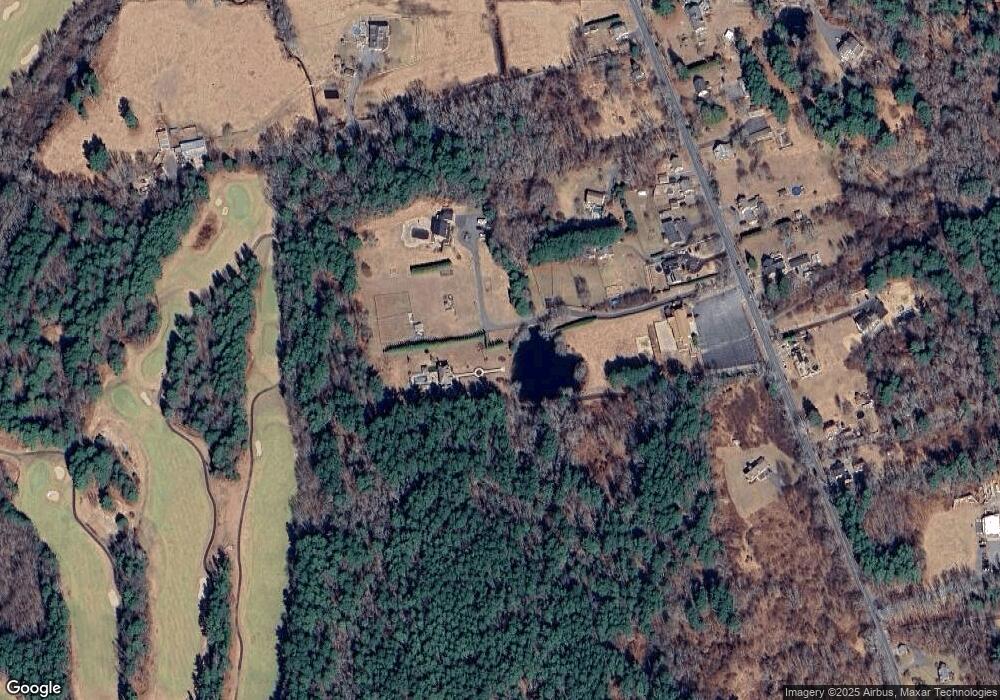
Map
Nearby Homes
- 363 Main St
- 1 Rounseville Rd
- 329 Middle Rd
- 0 Keene Rd Unit 73459818
- 25 Pershing Ave
- 41 Chershire Ave
- 23 Oliveira Ave
- 134 Nyes Ln
- 7 Hamlin St
- 0 Hathaway Rd Unit 73469544
- 12 White St
- 168 Keene Rd
- 199 Quaker Ln
- 1015 Forbes St
- 40 Foley Dr
- ES Acushnet Ave
- SS Charbonneau Ln
- 9 Monmouth St
- 11 Boylston St
- 224 North St