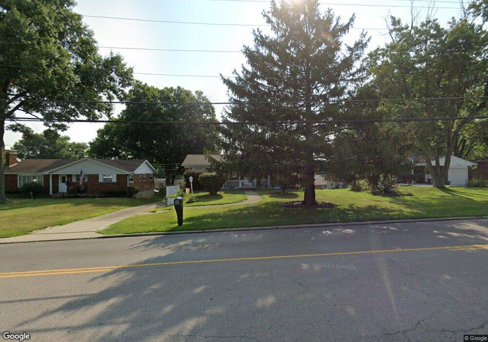
7890 Cheviot Rd Cincinnati, OH 45247
Estimated Value: $210,979 - $234,000
3
Beds
2
Baths
1,161
Sq Ft
$191/Sq Ft
Est. Value
About This Home
This home is located at 7890 Cheviot Rd, Cincinnati, OH 45247 and is currently estimated at $221,495, approximately $190 per square foot. 7890 Cheviot Rd is a home located in Hamilton County with nearby schools including White Oak Middle School, Colerain High School, and St. James School.
Ownership History
Date
Name
Owned For
Owner Type
Purchase Details
Closed on
May 28, 2010
Sold by
Gibson Laura
Bought by
Sweet Patricia A and Hall Joshua L
Current Estimated Value
Home Financials for this Owner
Home Financials are based on the most recent Mortgage that was taken out on this home.
Original Mortgage
$96,154
Outstanding Balance
$63,924
Interest Rate
5.12%
Mortgage Type
FHA
Estimated Equity
$157,571
Create a Home Valuation Report for This Property
The Home Valuation Report is an in-depth analysis detailing your home's value as well as a comparison with similar homes in the area
Home Values in the Area
Average Home Value in this Area
Purchase History
| Date | Buyer | Sale Price | Title Company |
|---|---|---|---|
| Sweet Patricia A | $97,450 | Attorney |
Source: Public Records
Mortgage History
| Date | Status | Borrower | Loan Amount |
|---|---|---|---|
| Open | Sweet Patricia A | $96,154 |
Source: Public Records
Tax History
| Year | Tax Paid | Tax Assessment Tax Assessment Total Assessment is a certain percentage of the fair market value that is determined by local assessors to be the total taxable value of land and additions on the property. | Land | Improvement |
|---|---|---|---|---|
| 2025 | $3,162 | $54,797 | $10,693 | $44,104 |
| 2023 | $2,950 | $54,797 | $10,693 | $44,104 |
| 2022 | $2,715 | $41,122 | $9,814 | $31,308 |
| 2021 | $2,691 | $41,122 | $9,814 | $31,308 |
| 2020 | $2,720 | $41,122 | $9,814 | $31,308 |
| 2019 | $2,351 | $33,163 | $7,914 | $25,249 |
| 2018 | $2,110 | $33,163 | $7,914 | $25,249 |
| 2017 | $1,999 | $33,163 | $7,914 | $25,249 |
| 2016 | $1,917 | $31,382 | $8,068 | $23,314 |
| 2015 | $1,936 | $31,382 | $8,068 | $23,314 |
| 2014 | $1,939 | $31,382 | $8,068 | $23,314 |
| 2013 | $2,005 | $34,108 | $8,768 | $25,340 |
Source: Public Records
Map
Nearby Homes
- 3693 W Galbraith Rd
- 3691 W Galbraith Rd
- 3701 W Galbraith Rd
- 3408 Rocker Dr
- 3397 Nandale Dr
- 8261 Cheviot Rd
- 3633 Twinview Dr
- 3510 Banning Rd
- 3336 Nandale Dr
- 3663 Sandralin Dr
- 3937 Olde Savannah Dr Unit 3937
- 3329 Alexis Rd
- 3950 Olde Savannah Dr
- 3970 Olde Savannah Dr
- 4095 Philnoll Dr
- 6724 Cheviot Rd
- 6893 Newbridge Dr
- 3407 Lapland Dr
- 3250 March Terrace
- 3219 Banning Rd
- 7866 Cheviot Rd
- 3487 Rocker Dr
- 3491 Rocker Dr
- 7940 Cheviot Rd
- 3483 Rocker Dr
- 7830 Cheviot Rd
- 3495 Rocker Dr
- 7966 Cheviot Rd
- 7810 Cheviot Rd
- 3479 Rocker Dr
- 3499 Rocker Dr
- 7992 Cheviot Rd
- 3490 Rocker Dr
- 7811 Cheviot Rd
- 7780 Cheviot Rd
- 7903 Cheviot Rd Unit 5
- 7903 Cheviot Rd
- 7903 Cheviot Rd
- 7903 Cheviot Rd
- 7903 Cheviot Rd
Your Personal Tour Guide
Ask me questions while you tour the home.