7890 Ronda Dr Fremont, MI 49412
Estimated Value: $228,000 - $261,000
3
Beds
2
Baths
1,544
Sq Ft
$157/Sq Ft
Est. Value
About This Home
This home is located at 7890 Ronda Dr, Fremont, MI 49412 and is currently estimated at $242,732, approximately $157 per square foot. 7890 Ronda Dr is a home located in Newaygo County with nearby schools including Daisy Brook Elementary School, Pathfinder Elementary School, and Quest High School.
Ownership History
Date
Name
Owned For
Owner Type
Purchase Details
Closed on
May 23, 2008
Sold by
Mortgage Electronic Registration
Bought by
Hud
Current Estimated Value
Purchase Details
Closed on
Sep 11, 2007
Sold by
Veltkamp Evelyn
Bought by
Mers
Purchase Details
Closed on
Aug 16, 2004
Sold by
Parquette Richard and Parquette Jennette
Bought by
Veltkamp Evelyn
Home Financials for this Owner
Home Financials are based on the most recent Mortgage that was taken out on this home.
Original Mortgage
$105,874
Interest Rate
6.1%
Mortgage Type
FHA
Create a Home Valuation Report for This Property
The Home Valuation Report is an in-depth analysis detailing your home's value as well as a comparison with similar homes in the area
Home Values in the Area
Average Home Value in this Area
Purchase History
| Date | Buyer | Sale Price | Title Company |
|---|---|---|---|
| Hud | -- | -- | |
| Mers | $108,600 | -- | |
| Veltkamp Evelyn | $115,900 | Metropolitan Title Co | |
| Veltkamp Evelyn | $115,900 | -- |
Source: Public Records
Mortgage History
| Date | Status | Borrower | Loan Amount |
|---|---|---|---|
| Previous Owner | Veltkamp Evelyn | $105,874 |
Source: Public Records
Tax History Compared to Growth
Tax History
| Year | Tax Paid | Tax Assessment Tax Assessment Total Assessment is a certain percentage of the fair market value that is determined by local assessors to be the total taxable value of land and additions on the property. | Land | Improvement |
|---|---|---|---|---|
| 2025 | $1,416 | $89,300 | $0 | $0 |
| 2024 | $5 | $75,000 | $0 | $0 |
| 2023 | $462 | $64,100 | $0 | $0 |
| 2022 | $1,300 | $46,100 | $0 | $0 |
| 2021 | $1,269 | $37,600 | $0 | $0 |
| 2020 | $1,329 | $43,100 | $0 | $0 |
| 2019 | $1,257 | $43,000 | $0 | $0 |
| 2018 | $1,230 | $37,600 | $0 | $0 |
| 2017 | $1,277 | $38,800 | $0 | $0 |
| 2016 | $1,177 | $39,100 | $0 | $0 |
| 2015 | -- | $39,800 | $0 | $0 |
| 2014 | -- | $36,900 | $0 | $0 |
Source: Public Records
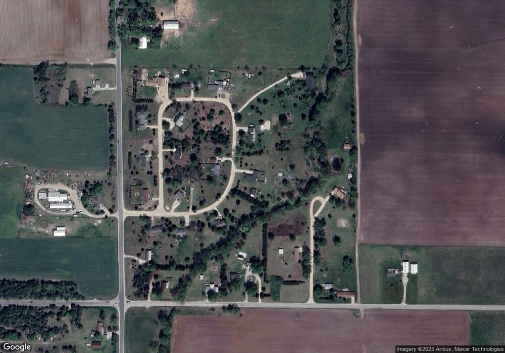
Map
Nearby Homes
- 5479 W 80th St
- 0 W 80th St
- 8666 S Warner Ave
- 5821 W 88th St
- 8882 S Osborn Ave
- 6441 S Warner Ave
- 5841 W 96th St
- 5735 W 100th St
- 7220 W 64th St
- 10295 S Osborn Ave
- 5296 S Warner Ave
- 421 Cherokee Dr
- 5957 S Landing Ln
- 518 S Sullivan Ave
- 109 W Woodrow St
- 11842 S Warner Ave
- 501 S Sullivan Ave
- 347 E Pine St
- 521 E Pine St
- 109 E Pine St
- 7887 Ronda Dr
- 7848 Ronda Dr
- 5520 Ronda Dr
- 7833 Ronda Dr
- 7864 Ronda Dr
- 7902 Ronda Dr
- 7844 Ronda Dr
- 5538 Ronda Dr
- 7902 Murray Ln
- 7969 Murray Ln
- 7830 Ronda Dr
- 0 Ronda Dr Unit 72017013042
- 0 Ronda Dr Unit 72014028844
- 0 Ronda Dr Unit 72020044185
- 0 Ronda Dr Unit M14028844
- 0 Ronda Dr Unit M18024565
- 0 Ronda Dr Unit M20044185
- 0 Ronda Dr Unit 17013042
- 0 Ronda Dr Unit 45&46 11036932
- 0 Ronda Dr