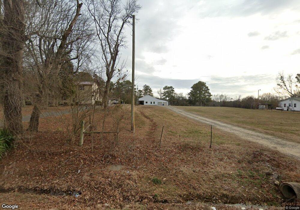
Estimated Value: $231,792 - $336,000
Studio
1
Bath
1,924
Sq Ft
$144/Sq Ft
Est. Value
About This Home
This home is located at 7892 Simpson Point Rd, Grant, AL 35747 and is currently estimated at $277,198, approximately $144 per square foot. 7892 Simpson Point Rd is a home located in Marshall County with nearby schools including Kate Duncan Smith DAR Elementary School, Claysville Jr High School, and Kate Duncan Smith DAR Middle School.
Ownership History
Date
Name
Owned For
Owner Type
Purchase Details
Closed on
Jul 25, 2025
Sold by
Borland Cathy
Bought by
Rogers Susan B and Rogers John Robert
Current Estimated Value
Purchase Details
Closed on
Apr 18, 2024
Sold by
Borland Cathy
Bought by
Borland Stiles Robin and Pierson Stiles Timothy
Purchase Details
Closed on
Jun 11, 2013
Sold by
Borland Cathy
Bought by
Smith Sandra Isom
Purchase Details
Closed on
Nov 6, 2012
Sold by
Borland Cathy and Isom Robert Clay
Bought by
Isom Smith Sandra
Create a Home Valuation Report for This Property
The Home Valuation Report is an in-depth analysis detailing your home's value as well as a comparison with similar homes in the area
Purchase History
| Date | Buyer | Sale Price | Title Company |
|---|---|---|---|
| Rogers Susan B | -- | None Listed On Document | |
| Borland Stiles Robin | -- | None Listed On Document | |
| Smith Sandra Isom | $169,500 | None Available | |
| Isom Smith Sandra | -- | None Available |
Source: Public Records
Tax History Compared to Growth
Tax History
| Year | Tax Paid | Tax Assessment Tax Assessment Total Assessment is a certain percentage of the fair market value that is determined by local assessors to be the total taxable value of land and additions on the property. | Land | Improvement |
|---|---|---|---|---|
| 2024 | $230 | $19,860 | $0 | $0 |
| 2023 | $179 | $18,760 | $0 | $0 |
| 2022 | $695 | $18,560 | $0 | $0 |
| 2021 | $1,256 | $30,280 | $0 | $0 |
| 2020 | $176 | $14,340 | $0 | $0 |
| 2017 | $459 | $13,640 | $0 | $0 |
| 2015 | -- | $18,260 | $0 | $0 |
| 2014 | -- | $18,340 | $0 | $0 |
Source: Public Records
Map
Nearby Homes
- 89 Bearden Dr
- 9.3 acres Cathedral Caverns Hwy
- 8.7 acres Cathedral Caverns Hwy
- 8500 Simpson Point Rd
- 6.7+/- Acres Simpson Point Rd
- 2270 Randles Rd
- Lot 5 White Elephant Rd
- 74 3rd Ave W
- 166 3rd Ave W
- 152 6th St W
- 3.1 Acres Cherokee Ridge Rd
- 10.3 Acres Cherokee Ridge Rd
- 244 Cherokee Ridge Rd
- 760 Welcome Home Rd
- Lots 14/15 Whitaker Dr
- 355 AND 375 Whitaker Dr
- 2333 White Elephant Rd
- 172 Epic Way
- 2216 White Elephant Rd
- 89 Shultz Dr
- 7934 Simpson Point Rd
- 7889 Simpson Point Rd
- 7921 Simpson Point Rd
- 7849 Simpson Point Rd
- 7980 Simpson Point Rd
- 7905 Simpson Point Rd
- 7799 Simpson Point Rd
- 8034 Simpson Point Rd
- 8039 Simpson Point Rd
- 7751 Simpson Point Rd
- 7935 Simpson Point Rd
- 000 Simpson Point Rd
- 7718 Simpson Point Rd
- 8071 Simpson Point Rd
- 7795 Simpson Point Rd
- 7795 Simpson Point Rd
- 7694 Simpson Point Rd
- 8090 Simpson Point Rd
- 7709 Simpson Point Rd
- 8101 Simpson Point Rd
