79 Andrew R Evans Rd Moreland, GA 30259
Estimated Value: $316,000 - $445,000
3
Beds
3
Baths
2,752
Sq Ft
$141/Sq Ft
Est. Value
About This Home
This home is located at 79 Andrew R Evans Rd, Moreland, GA 30259 and is currently estimated at $389,220, approximately $141 per square foot. 79 Andrew R Evans Rd is a home located in Coweta County with nearby schools including Moreland Elementary School, Smokey Road Middle School, and Newnan High School.
Ownership History
Date
Name
Owned For
Owner Type
Purchase Details
Closed on
Oct 30, 2001
Sold by
Upshaw Willie James
Bought by
Upshaw Willie James and Matarcha Upshaw
Current Estimated Value
Home Financials for this Owner
Home Financials are based on the most recent Mortgage that was taken out on this home.
Original Mortgage
$126,000
Outstanding Balance
$48,167
Interest Rate
6.57%
Mortgage Type
New Conventional
Estimated Equity
$341,053
Purchase Details
Closed on
Oct 31, 1983
Bought by
Upshaw Willie James
Create a Home Valuation Report for This Property
The Home Valuation Report is an in-depth analysis detailing your home's value as well as a comparison with similar homes in the area
Home Values in the Area
Average Home Value in this Area
Purchase History
| Date | Buyer | Sale Price | Title Company |
|---|---|---|---|
| Upshaw Willie James | -- | -- | |
| Upshaw Willie James | -- | -- |
Source: Public Records
Mortgage History
| Date | Status | Borrower | Loan Amount |
|---|---|---|---|
| Open | Upshaw Willie James | $126,000 | |
| Closed | Upshaw Willie James | $126,000 |
Source: Public Records
Tax History Compared to Growth
Tax History
| Year | Tax Paid | Tax Assessment Tax Assessment Total Assessment is a certain percentage of the fair market value that is determined by local assessors to be the total taxable value of land and additions on the property. | Land | Improvement |
|---|---|---|---|---|
| 2025 | $1,410 | $143,260 | $13,104 | $130,156 |
| 2024 | $1,486 | $123,702 | $12,247 | $111,454 |
| 2023 | $1,486 | $130,772 | $15,309 | $115,463 |
| 2022 | $617 | $81,170 | $6,394 | $74,776 |
| 2021 | $575 | $72,321 | $6,090 | $66,231 |
| 2020 | $788 | $72,321 | $6,090 | $66,231 |
| 2019 | $734 | $54,004 | $9,736 | $44,268 |
| 2018 | $737 | $54,004 | $9,736 | $44,268 |
| 2017 | $736 | $54,004 | $9,736 | $44,268 |
| 2016 | $721 | $54,004 | $9,736 | $44,268 |
| 2015 | $697 | $54,004 | $9,736 | $44,268 |
| 2014 | $1,397 | $54,004 | $9,736 | $44,268 |
Source: Public Records
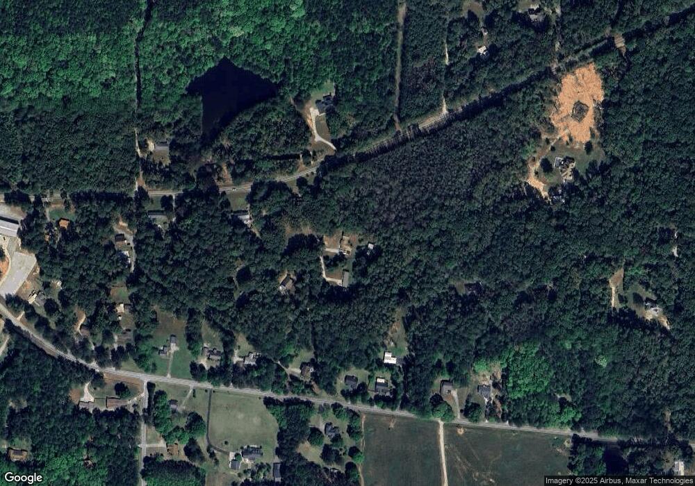
Map
Nearby Homes
- 04 Bears Bend
- 120 Bexton Rd
- 0 Lamb Rd Unit 10571369
- 79 Lamb Rd
- 276 Lee Thompson Rd
- 223 Donald Lamb Rd
- 188 Ball St
- 3486 S Highway 29
- 110 Moreland Oaks Dr
- 24 Deer Creek Ct
- 30 Deer Creek Ct
- 2486 Highway 54 Unit LOT 4
- 8 Cameron St
- 296 Deer Creek Run Unit LOT 11
- 145 E Camp St
- 1234 Haynie Rd
- 114 Dingler Rd
- 230 Haynes Rd
- LOT 1 Haynes Rd
- 15 Couch St
- 61 Andrew R Evans Rd
- 221 Haynie Rd
- 42 Andrew R Evans Rd
- 191 Haynie Rd
- 34 Andrew R Evans Rd
- 512 Bexton Rd
- 238 Haynie Rd
- 11 Andrew R Evans Rd
- 448 Bexton Rd
- 458 Bexton Rd
- 394 Bexton Rd
- 488 Bexton Rd
- 376 Bexton Rd
- 439 Bexton Rd
- 147 Haynie Rd
- 502 Bexton Rd
- 352 Bexton Rd
- 152 Haynie Rd
- 542 Bexton Rd
- 0 Trammell Rd Unit 220 8242367