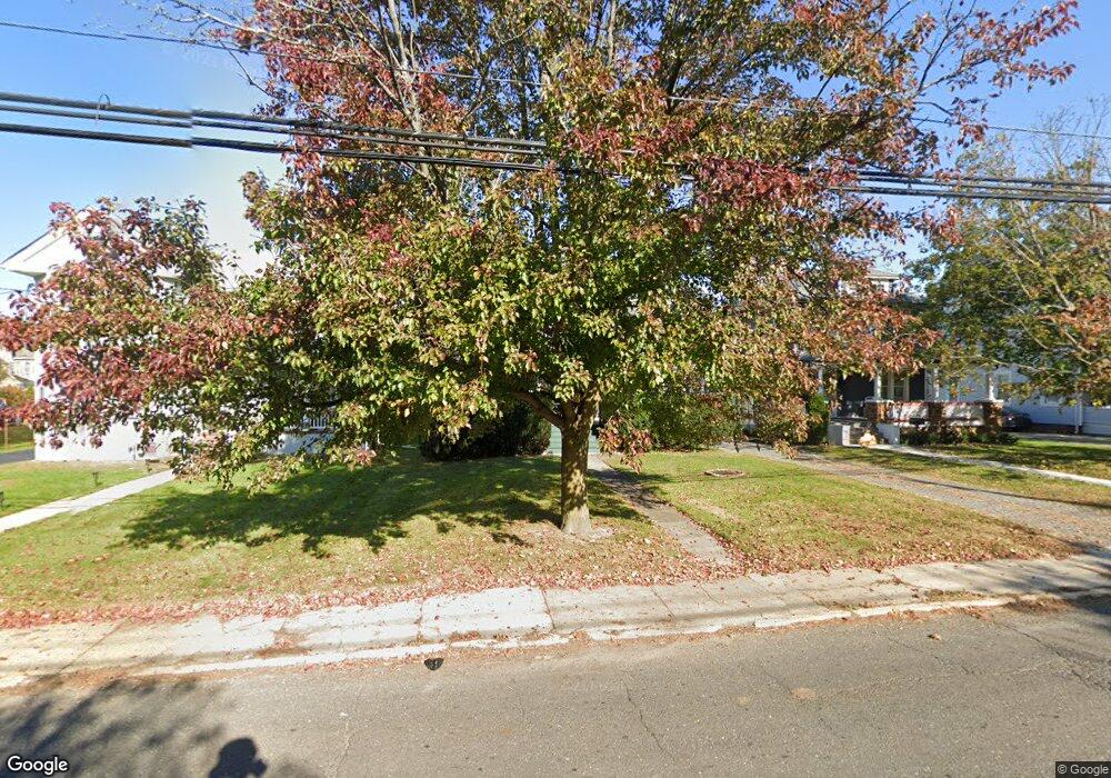
79 Atlantic Ave Long Branch, NJ 07740
Estimated Value: $564,634 - $682,000
3
Beds
2
Baths
1,770
Sq Ft
$359/Sq Ft
Est. Value
About This Home
This home is located at 79 Atlantic Ave, Long Branch, NJ 07740 and is currently estimated at $635,909, approximately $359 per square foot. 79 Atlantic Ave is a home located in Monmouth County with nearby schools including Long Branch High School and Holy Trinity School.
Ownership History
Date
Name
Owned For
Owner Type
Purchase Details
Closed on
Aug 3, 2017
Sold by
Zelhof Jeanette and Ness Immanuel
Bought by
Zelhof Jeanette
Current Estimated Value
Purchase Details
Closed on
Oct 30, 2011
Sold by
Zelhof Jeanette and Ness Immanuel
Bought by
Zelhof Jeanette and Ness Immanuel
Purchase Details
Closed on
Apr 28, 2003
Sold by
Pellerito Ann
Bought by
Zelhoff Jeanette and Mess Immanuel
Home Financials for this Owner
Home Financials are based on the most recent Mortgage that was taken out on this home.
Original Mortgage
$170,000
Outstanding Balance
$74,638
Interest Rate
5.93%
Estimated Equity
$561,271
Create a Home Valuation Report for This Property
The Home Valuation Report is an in-depth analysis detailing your home's value as well as a comparison with similar homes in the area
Home Values in the Area
Average Home Value in this Area
Purchase History
| Date | Buyer | Sale Price | Title Company |
|---|---|---|---|
| Zelhof Jeanette | -- | -- | |
| Zelhof Jeanette | -- | Old Republic Title | |
| Zelhoff Jeanette | $270,000 | -- |
Source: Public Records
Mortgage History
| Date | Status | Borrower | Loan Amount |
|---|---|---|---|
| Open | Zelhoff Jeanette | $170,000 |
Source: Public Records
Tax History Compared to Growth
Tax History
| Year | Tax Paid | Tax Assessment Tax Assessment Total Assessment is a certain percentage of the fair market value that is determined by local assessors to be the total taxable value of land and additions on the property. | Land | Improvement |
|---|---|---|---|---|
| 2025 | $6,328 | $486,900 | $282,900 | $204,000 |
| 2024 | $5,867 | $411,700 | $216,500 | $195,200 |
| 2023 | $5,867 | $377,800 | $191,500 | $186,300 |
| 2022 | $5,747 | $327,800 | $163,700 | $164,100 |
| 2021 | $5,840 | $287,200 | $133,700 | $153,500 |
| 2020 | $5,858 | $280,300 | $127,700 | $152,600 |
| 2019 | $5,532 | $263,200 | $117,700 | $145,500 |
| 2018 | $5,367 | $253,900 | $113,700 | $140,200 |
| 2017 | $5,019 | $243,500 | $106,700 | $136,800 |
| 2016 | $4,992 | $247,000 | $113,700 | $133,300 |
| 2015 | $5,269 | $236,600 | $93,000 | $143,600 |
| 2014 | $5,044 | $238,700 | $111,300 | $127,400 |
Source: Public Records
Map
Nearby Homes
- 381 Long Branch Ave
- 9 Manahassett Park Dr
- 8 Ocean Ave
- 50 Valentine St Unit 27A
- 50 Valentine St Unit 22A
- 50 Valentine St Unit 12B
- 432 Ocean Blvd N Unit 506
- 432 Ocean Blvd N Unit 315
- 43 Valentine St
- 17 Riviera Dr
- 154 Atlantic Ave
- 16 Anderson St
- 138 Rosewood Ave
- 422 Ocean Blvd N Unit 5H
- 172 Chelton Ave
- 164 Airsdale Ave
- 188 Chelton Ave
- 323 Florence Ave
- 165 Kingsley St
- 16 Shore Dr
- 77 Atlantic Ave
- 81 Atlantic Ave
- 75 Atlantic Ave
- 85 Atlantic Ave
- 73 Atlantic Ave
- 459 West St
- 71 Atlantic Ave
- 467 West St
- 457 West St
- 89 Atlantic Ave
- 82 White St
- 78 Atlantic Ave
- 80 White St
- 74 Atlantic Ave
- 69 Atlantic Ave
- 69 Atlantic Ave
- 69 Atlantic Ave Unit REAR - Unit 1 (SUMME
- 69 Atlantic Ave Unit REAR - Unit 1 (ANNUA
- 69 Atlantic Ave Unit REAR
- 69 Atlantic Ave Unit LOW REAR