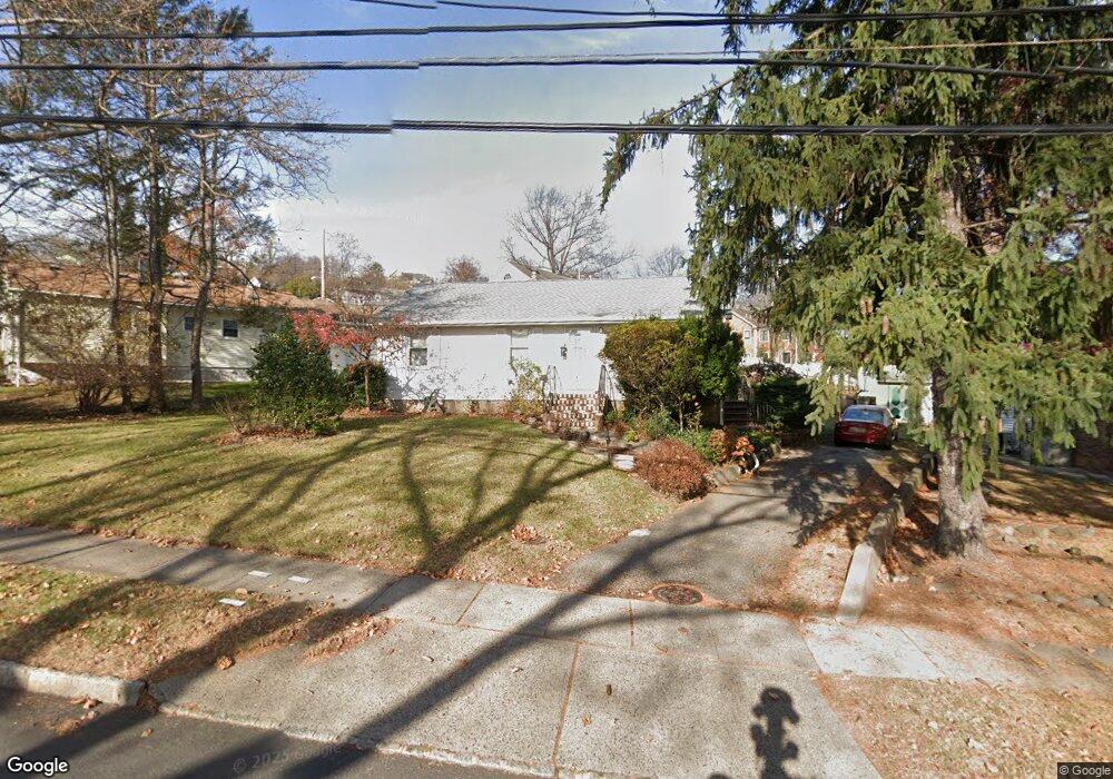
79 Broad St Summit, NJ 07901
Estimated Value: $550,286 - $844,000
Studio
--
Bath
952
Sq Ft
$761/Sq Ft
Est. Value
About This Home
This home is located at 79 Broad St, Summit, NJ 07901 and is currently estimated at $724,072, approximately $760 per square foot. 79 Broad St is a home located in Union County with nearby schools including L C Johnson Summit Middle School, Summit Sr High School, and Kent Place School.
Ownership History
Date
Name
Owned For
Owner Type
Purchase Details
Closed on
Mar 17, 1999
Sold by
Cohen Laurel
Bought by
Alvarez Siliva and Ventimilla Carlos
Current Estimated Value
Home Financials for this Owner
Home Financials are based on the most recent Mortgage that was taken out on this home.
Original Mortgage
$132,900
Outstanding Balance
$32,247
Interest Rate
6.78%
Mortgage Type
FHA
Estimated Equity
$691,825
Purchase Details
Closed on
Sep 8, 1994
Sold by
Rosenthal Avonne and Rosenthal Edwin
Bought by
Cohen Laurel B
Create a Home Valuation Report for This Property
The Home Valuation Report is an in-depth analysis detailing your home's value as well as a comparison with similar homes in the area
Home Values in the Area
Average Home Value in this Area
Purchase History
| Date | Buyer | Sale Price | Title Company |
|---|---|---|---|
| Alvarez Siliva | $174,000 | -- | |
| Cohen Laurel B | $145,000 | -- |
Source: Public Records
Mortgage History
| Date | Status | Borrower | Loan Amount |
|---|---|---|---|
| Open | Alvarez Siliva | $132,900 |
Source: Public Records
Tax History
| Year | Tax Paid | Tax Assessment Tax Assessment Total Assessment is a certain percentage of the fair market value that is determined by local assessors to be the total taxable value of land and additions on the property. | Land | Improvement |
|---|---|---|---|---|
| 2025 | $8,276 | $190,000 | $68,600 | $121,400 |
| 2024 | $6,188 | $190,000 | $68,600 | $121,400 |
| 2023 | $6,188 | $143,000 | $68,600 | $74,400 |
| 2022 | $6,125 | $143,000 | $68,600 | $74,400 |
| 2021 | $6,173 | $143,000 | $68,600 | $74,400 |
| 2020 | $6,235 | $143,000 | $68,600 | $74,400 |
| 2019 | $6,242 | $143,000 | $68,600 | $74,400 |
| 2018 | $6,202 | $143,000 | $68,600 | $74,400 |
| 2017 | $5,950 | $136,300 | $68,600 | $67,700 |
| 2016 | $5,862 | $136,300 | $68,600 | $67,700 |
| 2015 | $5,748 | $136,300 | $68,600 | $67,700 |
| 2014 | $5,599 | $136,300 | $68,600 | $67,700 |
Source: Public Records
Map
Nearby Homes
- 39 Huntley Rd
- 28 Morris Ave Unit DD
- 28 Morris Ave Unit G4
- 37-39 Edison Dr
- 77B Troy Dr Unit 77B
- 28 Shunpike Rd
- 7 Canterbury Ln
- 15 Canterbury Ln
- 16 West Rd
- 12 Coniston Rd
- 5B Troy Dr Unit 1
- 300 Wilson Rd Unit 24D
- 29 Ashwood Ave
- 24 Franklin Place
- 1 Irving Place
- 33 Springbrook Rd
- 133 Summit Ave Unit 16A
- 2 S Audlen Terrace
- 14 Euclid Ave Unit 102
- 445 Morris Ave Unit 4C
Your Personal Tour Guide
Ask me questions while you tour the home.