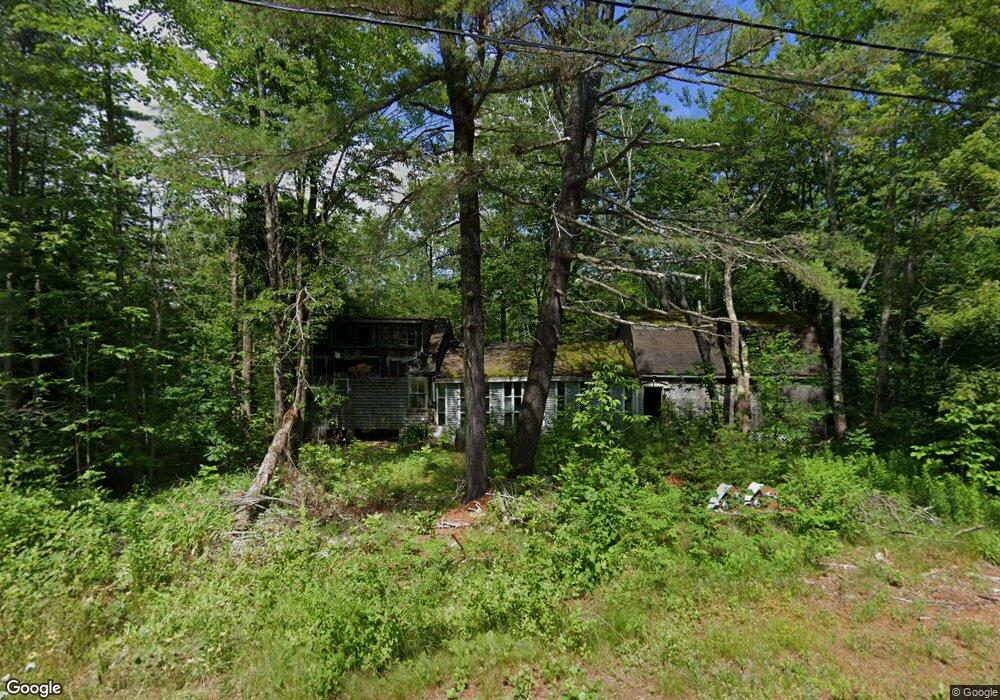
79 Brock Rd Searsport, ME 04974
Estimated Value: $163,000 - $304,521
3
Beds
4
Baths
1,357
Sq Ft
$185/Sq Ft
Est. Value
About This Home
This home is located at 79 Brock Rd, Searsport, ME 04974 and is currently estimated at $251,380, approximately $185 per square foot. 79 Brock Rd is a home.
Create a Home Valuation Report for This Property
The Home Valuation Report is an in-depth analysis detailing your home's value as well as a comparison with similar homes in the area
Home Values in the Area
Average Home Value in this Area
Tax History Compared to Growth
Tax History
| Year | Tax Paid | Tax Assessment Tax Assessment Total Assessment is a certain percentage of the fair market value that is determined by local assessors to be the total taxable value of land and additions on the property. | Land | Improvement |
|---|---|---|---|---|
| 2024 | $3,957 | $172,800 | $40,800 | $132,000 |
| 2023 | $3,491 | $172,800 | $40,800 | $132,000 |
| 2022 | $3,335 | $172,800 | $40,800 | $132,000 |
| 2021 | $3,266 | $172,800 | $40,800 | $132,000 |
| 2020 | $3,231 | $172,800 | $40,800 | $132,000 |
| 2019 | $3,197 | $172,800 | $40,800 | $132,000 |
| 2018 | $3,197 | $172,800 | $40,800 | $132,000 |
| 2017 | $2,691 | $111,200 | $30,800 | $80,400 |
| 2016 | $2,658 | $111,200 | $30,800 | $80,400 |
| 2015 | $2,635 | $111,200 | $30,800 | $80,400 |
| 2014 | $2,524 | $111,200 | $30,800 | $80,400 |
| 2013 | $2,391 | $111,200 | $30,800 | $80,400 |
Source: Public Records
Map
Nearby Homes
- 73 Heritage Dr
- 177 Mount Ephraim Rd
- 4 Bowen Rd
- Lot 69 Campground Rd
- 6 Otis St
- 21 Knox Bros Ave
- 10 Mosman St
- 37 & 39 E Main St
- 00 Back Searsport Rd
- 00 Elm St
- 15 Norris St
- 71 E Main St
- 90 E Main St
- 395 Mount Ephraim Rd
- 164 W Main St
- 10 Serenity Ln
- 468 Curtis Rd
- 101 E Main St
- M3L28-A Savery Rd
- 461 Curtis Rd