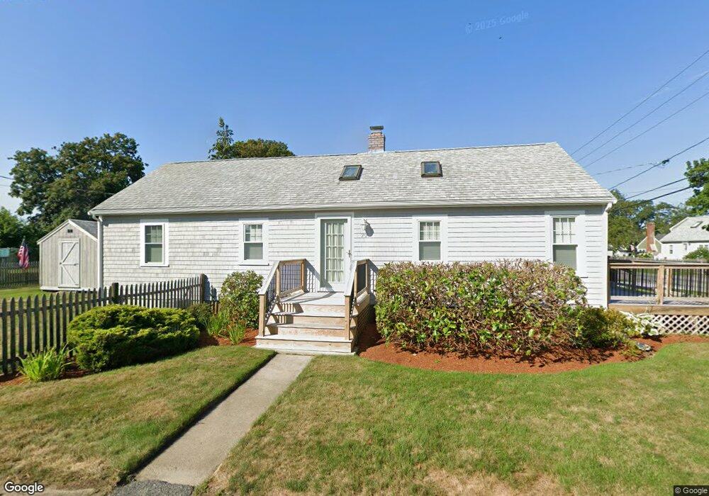
79 Bryant St Unit 1 Marshfield, MA 02050
Ocean Bluff-Brant Rock NeighborhoodEstimated Value: $527,000 - $604,000
2
Beds
1
Bath
680
Sq Ft
$848/Sq Ft
Est. Value
About This Home
This home is located at 79 Bryant St Unit 1, Marshfield, MA 02050 and is currently estimated at $576,723, approximately $848 per square foot. 79 Bryant St Unit 1 is a home located in Plymouth County with nearby schools including Governor Edward Winslow School, Furnace Brook Middle School, and Marshfield High School.
Ownership History
Date
Name
Owned For
Owner Type
Purchase Details
Closed on
Dec 27, 2022
Sold by
Gritzuk Andrew and Gritzuk Sharon
Bought by
Grizuk Ft and Gritzuk
Current Estimated Value
Purchase Details
Closed on
May 15, 2009
Sold by
Reynolds Diana J
Bought by
Gritzuk Andrew and Gritzuk Sharon
Purchase Details
Closed on
Jun 30, 1994
Sold by
Comeau Christopher M
Bought by
Reynolds Raymond B and Reynolds Diana J
Purchase Details
Closed on
Sep 18, 1989
Sold by
Shriners Hosp For
Bought by
Comeau Christopher M
Home Financials for this Owner
Home Financials are based on the most recent Mortgage that was taken out on this home.
Original Mortgage
$72,000
Interest Rate
9.58%
Mortgage Type
Purchase Money Mortgage
Create a Home Valuation Report for This Property
The Home Valuation Report is an in-depth analysis detailing your home's value as well as a comparison with similar homes in the area
Home Values in the Area
Average Home Value in this Area
Purchase History
| Date | Buyer | Sale Price | Title Company |
|---|---|---|---|
| Grizuk Ft | -- | None Available | |
| Grizuk Ft | -- | None Available | |
| Gritzuk Andrew | $200,000 | -- | |
| Gritzuk Andrew | $200,000 | -- | |
| Reynolds Raymond B | $119,700 | -- | |
| Comeau Christopher M | $90,000 | -- |
Source: Public Records
Mortgage History
| Date | Status | Borrower | Loan Amount |
|---|---|---|---|
| Previous Owner | Comeau Christopher M | $71,500 | |
| Previous Owner | Comeau Christopher M | $72,000 |
Source: Public Records
Tax History
| Year | Tax Paid | Tax Assessment Tax Assessment Total Assessment is a certain percentage of the fair market value that is determined by local assessors to be the total taxable value of land and additions on the property. | Land | Improvement |
|---|---|---|---|---|
| 2025 | $5,349 | $540,300 | $317,600 | $222,700 |
| 2024 | $5,126 | $493,400 | $297,800 | $195,600 |
| 2023 | $5,053 | $446,400 | $268,000 | $178,400 |
| 2022 | $4,889 | $377,500 | $228,300 | $149,200 |
| 2021 | $4,702 | $356,500 | $218,400 | $138,100 |
| 2020 | $4,322 | $324,200 | $188,600 | $135,600 |
| 2019 | $4,157 | $310,700 | $188,600 | $122,100 |
| 2018 | $4,105 | $307,000 | $188,600 | $118,400 |
| 2017 | $3,553 | $259,000 | $178,700 | $80,300 |
| 2016 | $3,353 | $241,600 | $168,700 | $72,900 |
| 2015 | $3,124 | $235,100 | $168,700 | $66,400 |
| 2014 | $3,087 | $232,300 | $168,700 | $63,600 |
Source: Public Records
Map
Nearby Homes
Your Personal Tour Guide
Ask me questions while you tour the home.