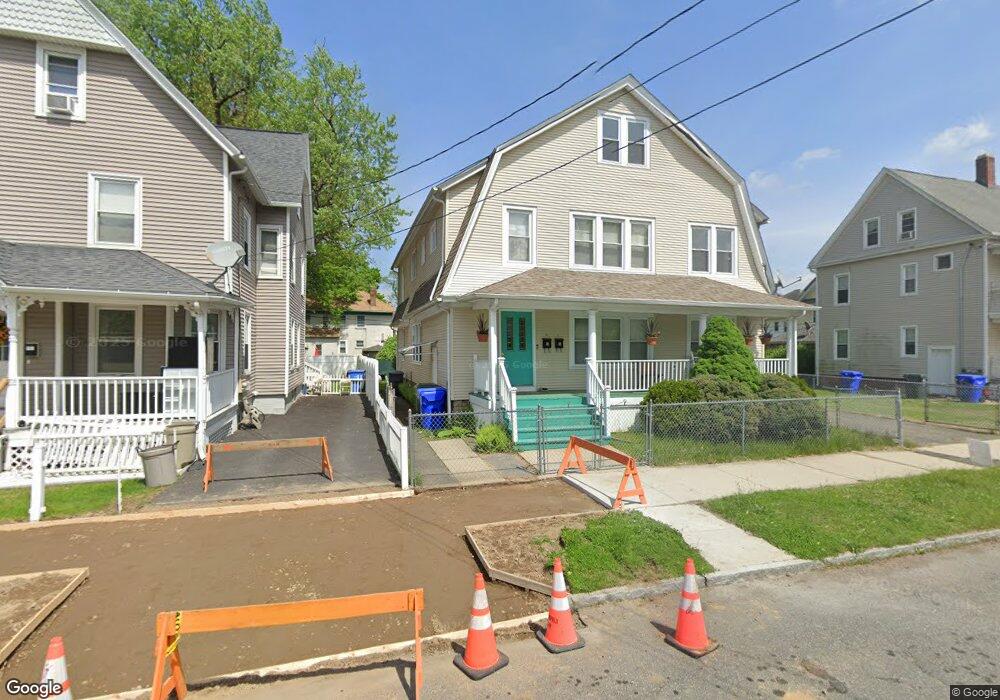
79 Bryant St Unit 81 Springfield, MA 01108
Forest Park NeighborhoodEstimated Value: $322,000 - $480,000
6
Beds
2
Baths
3,643
Sq Ft
$108/Sq Ft
Est. Value
About This Home
This home is located at 79 Bryant St Unit 81, Springfield, MA 01108 and is currently estimated at $394,781, approximately $108 per square foot. 79 Bryant St Unit 81 is a home located in Hampden County with nearby schools including Washington Elementary School, Forest Park Middle School, and Springfield High School of Science and Technology.
Ownership History
Date
Name
Owned For
Owner Type
Purchase Details
Closed on
May 29, 1997
Sold by
Fnma
Bought by
Crespo Norberto
Current Estimated Value
Home Financials for this Owner
Home Financials are based on the most recent Mortgage that was taken out on this home.
Original Mortgage
$68,850
Interest Rate
8.09%
Mortgage Type
Purchase Money Mortgage
Purchase Details
Closed on
Jan 30, 1997
Sold by
Cosimini Mark L and Cosimini Janet M
Bought by
Federal National Mortgage Association
Create a Home Valuation Report for This Property
The Home Valuation Report is an in-depth analysis detailing your home's value as well as a comparison with similar homes in the area
Home Values in the Area
Average Home Value in this Area
Purchase History
| Date | Buyer | Sale Price | Title Company |
|---|---|---|---|
| Crespo Norberto | $72,500 | -- | |
| Federal National Mortgage Association | $49,500 | -- |
Source: Public Records
Mortgage History
| Date | Status | Borrower | Loan Amount |
|---|---|---|---|
| Open | Federal National Mortgage Association | $70,350 | |
| Closed | Federal National Mortgage Association | $68,850 | |
| Previous Owner | Federal National Mortgage Association | $105,000 |
Source: Public Records
Tax History Compared to Growth
Tax History
| Year | Tax Paid | Tax Assessment Tax Assessment Total Assessment is a certain percentage of the fair market value that is determined by local assessors to be the total taxable value of land and additions on the property. | Land | Improvement |
|---|---|---|---|---|
| 2025 | $4,513 | $287,800 | $36,800 | $251,000 |
| 2024 | $3,954 | $246,200 | $36,800 | $209,400 |
| 2023 | $4,208 | $246,800 | $35,100 | $211,700 |
| 2022 | $3,538 | $188,000 | $35,100 | $152,900 |
| 2021 | $3,438 | $181,900 | $31,900 | $150,000 |
| 2020 | $3,394 | $173,800 | $31,900 | $141,900 |
| 2019 | $3,172 | $161,200 | $31,900 | $129,300 |
| 2018 | $3,077 | $162,600 | $31,900 | $130,700 |
| 2017 | $3,077 | $156,500 | $31,900 | $124,600 |
| 2016 | $2,939 | $149,500 | $31,900 | $117,600 |
| 2015 | $2,669 | $135,700 | $31,900 | $103,800 |
Source: Public Records
Map
Nearby Homes
- 742 Belmont Ave
- 769-771 Belmont Ave
- 40 Eldridge St
- 52 Eldridge St
- 62-64 Whittier St
- 20 Taft St
- 35-37 Whittier St
- 35 Carlton St
- 855 Belmont Ave
- 137-139 Fountain St
- 12 Prescott St
- 877 Belmont Ave
- 52 Herman St
- 114 Sylvan St Unit 116
- 11-15 Groveland St
- 615 White St
- 6 Eton St
- 20 Vermont St
- 60 Blake St
- 22-24 Ainsworth St
- 79-81 Bryant St
- 75 Bryant St
- 751 Belmont Ave
- 751 Belmont Ave Unit 3
- 71 Bryant St
- 78 Lyndale St
- 74 Lyndale St
- 759 Belmont Ave
- 84 Lyndale St
- 68 Lyndale St
- 735 Belmont Ave
- 735 Belmont Ave Unit 2
- 65 Bryant St Unit 67
- 64 Lyndale St
- 729 Belmont Ave
- 729 Belmont Ave Unit 2
- 729 Belmont Ave Unit 1
- 729 Belmont Ave Unit 2nd
- 61 Bryant St
- 68 Bryant St