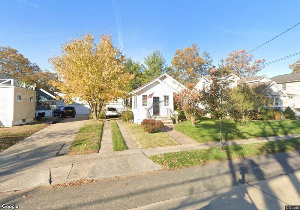
79 Burtis St Lynbrook, NY 11563
Estimated Value: $546,410 - $784,000
Studio
1
Bath
971
Sq Ft
$685/Sq Ft
Est. Value
About This Home
This home is located at 79 Burtis St, Lynbrook, NY 11563 and is currently estimated at $665,205, approximately $685 per square foot. 79 Burtis St is a home located in Nassau County with nearby schools including Lynbrook Senior High School, Our Lady Of Peace School, and Holy Name of Mary School.
Create a Home Valuation Report for This Property
The Home Valuation Report is an in-depth analysis detailing your home's value as well as a comparison with similar homes in the area
Home Values in the Area
Average Home Value in this Area
Tax History
| Year | Tax Paid | Tax Assessment Tax Assessment Total Assessment is a certain percentage of the fair market value that is determined by local assessors to be the total taxable value of land and additions on the property. | Land | Improvement |
|---|---|---|---|---|
| 2025 | $7,535 | $372 | $197 | $175 |
| 2024 | $930 | $407 | $216 | $191 |
Source: Public Records
Map
Nearby Homes
- 14 Hawthorne St
- 149 Foster Ave
- 89 Foster Ave
- 145 Cornwell Ave
- 263 Foster Ave
- 33 Cleveland St
- 504 Merrick Rd Unit 4E
- 504 Merrick Rd Unit 2k
- 504 Merrick Rd Unit 3G
- 127 Smith St
- 51 Manor Rd
- 29 Summit Ave
- 57 Nieman Ave
- 103 Smith St Unit 1
- 139 E Maujer St
- 35 Carlton St
- 202 Emerson Place
- 170 E Mineola Ave
- 71 Home St
- 104 E Melrose St
Your Personal Tour Guide
Ask me questions while you tour the home.