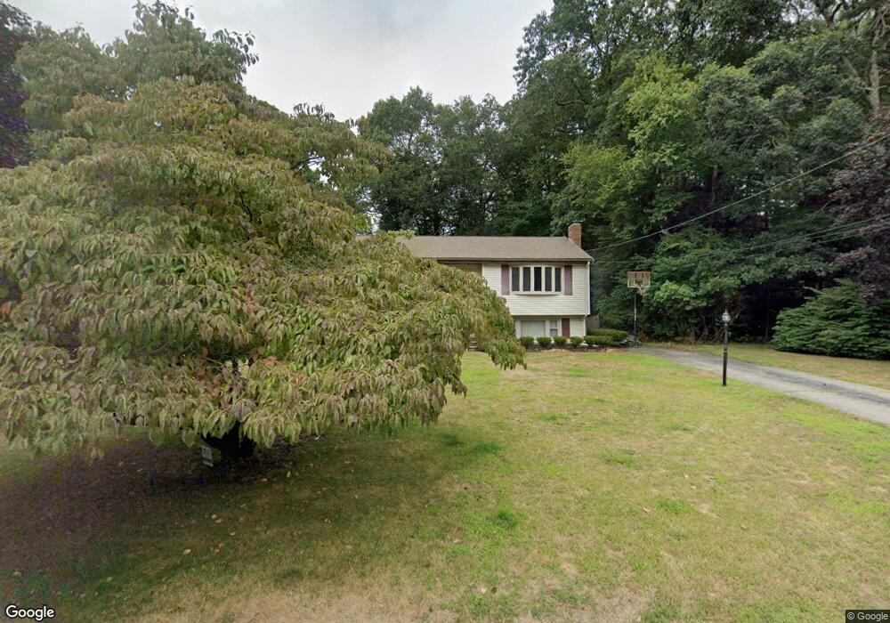
79 Cape Cod Ln Hanover, MA 02339
Estimated Value: $607,923 - $662,000
3
Beds
1
Bath
1,044
Sq Ft
$607/Sq Ft
Est. Value
About This Home
This home is located at 79 Cape Cod Ln, Hanover, MA 02339 and is currently estimated at $633,731, approximately $607 per square foot. 79 Cape Cod Ln is a home located in Plymouth County with nearby schools including Hanover High School and The Master's Academy.
Ownership History
Date
Name
Owned For
Owner Type
Purchase Details
Closed on
May 1, 2006
Sold by
Schultz John M and Schultz Lisa M
Bought by
Mccue John and Mccue Catherine
Current Estimated Value
Home Financials for this Owner
Home Financials are based on the most recent Mortgage that was taken out on this home.
Original Mortgage
$320,000
Interest Rate
6.4%
Mortgage Type
Purchase Money Mortgage
Purchase Details
Closed on
Aug 22, 2003
Sold by
Hennessy Bella M
Bought by
Schultz John M and Schultz Lisa M
Purchase Details
Closed on
May 23, 2003
Sold by
Hennessy Bella M and Hennessy Eugene J
Bought by
Hennessy Bella M
Create a Home Valuation Report for This Property
The Home Valuation Report is an in-depth analysis detailing your home's value as well as a comparison with similar homes in the area
Home Values in the Area
Average Home Value in this Area
Purchase History
| Date | Buyer | Sale Price | Title Company |
|---|---|---|---|
| Mccue John | $400,000 | -- | |
| Schultz John M | $359,900 | -- | |
| Hennessy Bella M | -- | -- |
Source: Public Records
Mortgage History
| Date | Status | Borrower | Loan Amount |
|---|---|---|---|
| Open | Hennessy Bella M | $280,000 | |
| Closed | Hennessy Bella M | $27,000 | |
| Closed | Hennessy Bella M | $320,000 |
Source: Public Records
Tax History
| Year | Tax Paid | Tax Assessment Tax Assessment Total Assessment is a certain percentage of the fair market value that is determined by local assessors to be the total taxable value of land and additions on the property. | Land | Improvement |
|---|---|---|---|---|
| 2025 | $7,047 | $570,600 | $270,400 | $300,200 |
| 2024 | $7,056 | $549,500 | $270,400 | $279,100 |
| 2023 | $6,819 | $505,500 | $245,800 | $259,700 |
| 2022 | $6,693 | $438,900 | $245,800 | $193,100 |
| 2021 | $6,457 | $395,400 | $223,400 | $172,000 |
| 2020 | $6,400 | $392,400 | $223,400 | $169,000 |
| 2019 | $6,052 | $368,800 | $223,400 | $145,400 |
| 2018 | $6,050 | $371,600 | $223,400 | $148,200 |
| 2017 | $6,126 | $370,800 | $211,900 | $158,900 |
| 2016 | $5,928 | $351,600 | $192,700 | $158,900 |
| 2015 | $5,200 | $322,000 | $192,700 | $129,300 |
Source: Public Records
Map
Nearby Homes
- 561 Circuit St
- 506 Main St
- 75 School St
- 823 Market St
- 47 Stone Meadow Ln
- 44 Stone Meadow Ln
- 62 Larchmont Ln
- 36 Grove St
- 95 Tecumseh Dr
- 776 Main St
- 36 Bayberry Ln
- 250 Center St
- 51 Cervelli Farm Dr
- 37 Dr
- 23 Cervelli Farm Dr
- 38 Cervelli Farm Dr
- 9 Cervelli Farm Dr
- 50 Village Ln
- 696 Summer St
- 9 Old Market St
- 65 Cape Cod Ln
- 206 Old Farm Rd
- 154 Fair Acres Dr
- 196 Old Farm Rd
- 82 Cape Cod Ln
- 218 Old Farm Rd
- 70 Cape Cod Ln
- 144 Fair Acres Dr
- 53 Cape Cod Ln
- 228 Old Farm Rd
- 58 Cape Cod Ln
- 182 Old Farm Rd
- 130 Fair Acres Dr
- 137 Old Farm Rd
- 151 Old Farm Rd
- 41 Cape Cod Ln
- 151 Fair Acres Dr
- 46 Cape Cod Ln
- 240 Old Farm Rd
- 125 Old Farm Rd
Your Personal Tour Guide
Ask me questions while you tour the home.