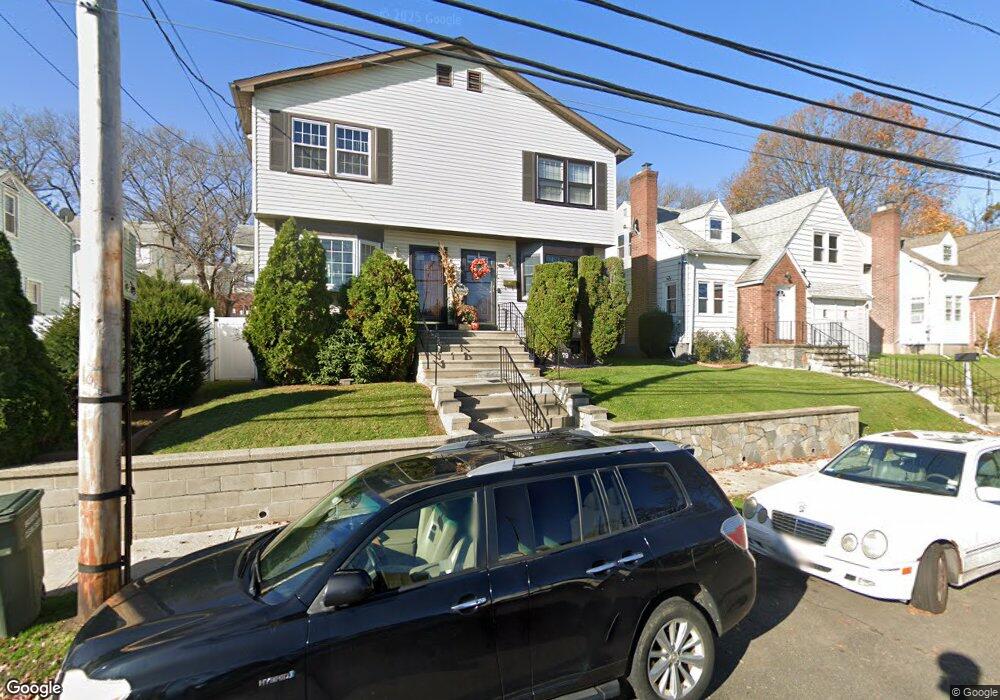
79 Carnegie Ave Bridgeport, CT 06610
Boston Ave-Mill Hill NeighborhoodEstimated Value: $329,618 - $354,000
3
Beds
3
Baths
1,248
Sq Ft
$273/Sq Ft
Est. Value
About This Home
This home is located at 79 Carnegie Ave, Bridgeport, CT 06610 and is currently estimated at $340,655, approximately $272 per square foot. 79 Carnegie Ave is a home located in Fairfield County with nearby schools including Edison School and Harding High School.
Ownership History
Date
Name
Owned For
Owner Type
Purchase Details
Closed on
Jun 17, 1994
Sold by
Citizens Bk Of Mass
Bought by
Mckinney Robin L
Current Estimated Value
Create a Home Valuation Report for This Property
The Home Valuation Report is an in-depth analysis detailing your home's value as well as a comparison with similar homes in the area
Home Values in the Area
Average Home Value in this Area
Purchase History
| Date | Buyer | Sale Price | Title Company |
|---|---|---|---|
| Mckinney Robin L | $49,000 | -- | |
| Mckinney Robin L | $49,000 | -- |
Source: Public Records
Mortgage History
| Date | Status | Borrower | Loan Amount |
|---|---|---|---|
| Closed | Mckinney Robin L | $35,000 | |
| Closed | Mckinney Robin L | $70,000 | |
| Closed | Mckinney Robin L | $20,159 | |
| Closed | Mckinney Robin L | $45,900 |
Source: Public Records
Tax History
| Year | Tax Paid | Tax Assessment Tax Assessment Total Assessment is a certain percentage of the fair market value that is determined by local assessors to be the total taxable value of land and additions on the property. | Land | Improvement |
|---|---|---|---|---|
| 2025 | $5,916 | $136,154 | $28,014 | $108,140 |
| 2024 | $5,916 | $136,154 | $28,014 | $108,140 |
| 2023 | $5,916 | $136,154 | $28,014 | $108,140 |
| 2022 | $5,916 | $136,154 | $28,014 | $108,140 |
| 2021 | $5,916 | $136,154 | $28,014 | $108,140 |
| 2020 | $4,534 | $83,970 | $11,080 | $72,890 |
| 2019 | $4,534 | $83,970 | $11,080 | $72,890 |
| 2018 | $4,565 | $83,970 | $11,080 | $72,890 |
| 2017 | $4,565 | $83,970 | $11,080 | $72,890 |
| 2016 | $4,565 | $83,970 | $11,080 | $72,890 |
| 2015 | $4,582 | $108,580 | $15,630 | $92,950 |
| 2014 | $4,582 | $108,580 | $15,630 | $92,950 |
Source: Public Records
Map
Nearby Homes
- 3 Granfield Ave
- 1922 Boston Ave Unit 1924
- 260 Success Ave Unit 21
- 459 East Ave
- 129 Price St
- 1662 Boston Ave Unit 1666
- 340 Success Ave Unit Building 89, Apt 11
- 340 Success Ave Unit Bldg 89 14
- 184 Pearl Harbor St
- 325 N Bishop Ave Unit 18
- 1575 Boston Ave Unit B2
- 45 Birdsey St
- 43-45 Granfield Ave
- 37-39 Granfield Ave
- 33 Granfield Ave
- 170 Judson Place
- 242 Pearl Harbor St
- 614-618 Bishop Ave
- 215 Summerfield Ave
- 332 Palisade Ave
- 77 Carnegie Ave
- 89 Carnegie Ave
- 73 Carnegie Ave
- 70 Hale Terrace
- 60 Hale Terrace
- 59 Carnegie Ave
- 78 Hale Terrace
- 109 Carnegie Ave
- 78 Carnegie Ave
- 90 Carnegie Ave
- 90 Hale Terrace
- 40 Hale Terrace
- 55 Carnegie Ave
- 119 Carnegie Ave
- 68 Carnegie Ave
- 110 Carnegie Ave
- 50 Hale Terrace
- 100 Hale Terrace
- 60 Carnegie Ave
- 57 Hale Terrace
Your Personal Tour Guide
Ask me questions while you tour the home.