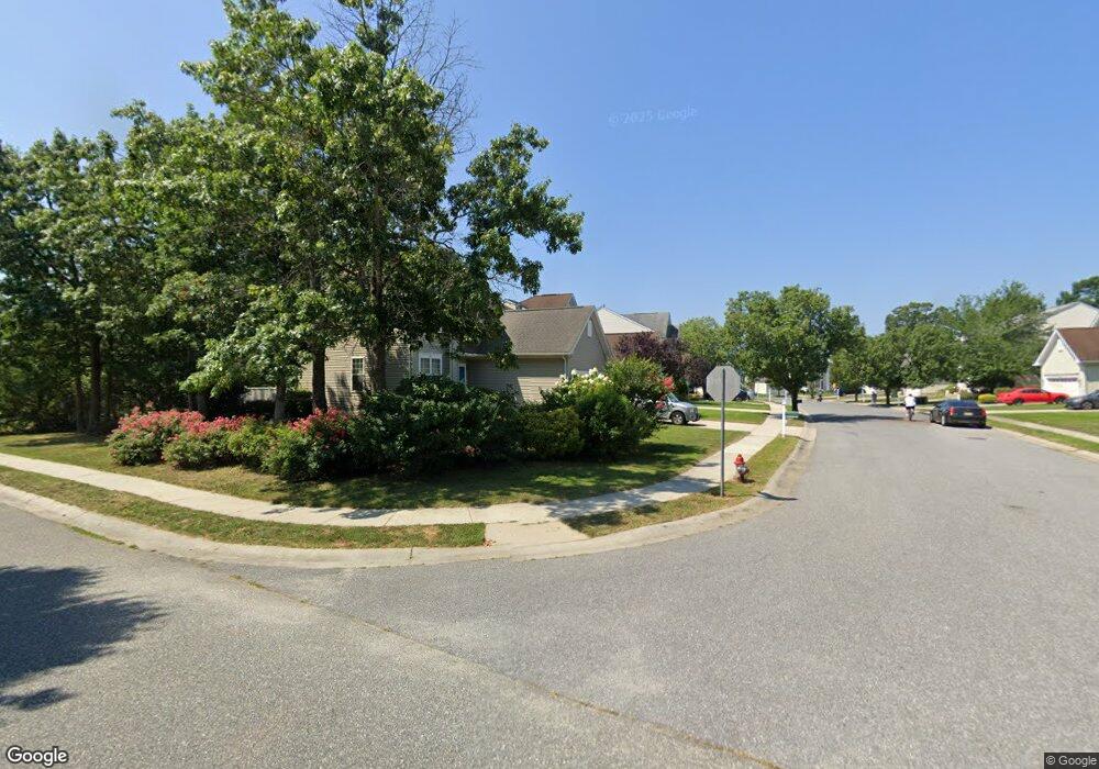
79 Countryside Ln Mays Landing, NJ 08330
Estimated Value: $253,000 - $424,000
--
Bed
--
Bath
1,694
Sq Ft
$206/Sq Ft
Est. Value
About This Home
This home is located at 79 Countryside Ln, Mays Landing, NJ 08330 and is currently estimated at $349,382, approximately $206 per square foot. 79 Countryside Ln is a home located in Atlantic County with nearby schools including George L. Hess Educational Complex, Joseph Shaner School, and William Davies Middle School.
Ownership History
Date
Name
Owned For
Owner Type
Purchase Details
Closed on
Jan 17, 2025
Sold by
Lao Maria Cora
Bought by
William And Maria Corazon Lao Living Trust and Lao
Current Estimated Value
Purchase Details
Closed on
Jul 7, 2003
Sold by
Baker Residential Of Pennsylva
Bought by
Lao Maria Cora
Home Financials for this Owner
Home Financials are based on the most recent Mortgage that was taken out on this home.
Original Mortgage
$176,236
Interest Rate
5.45%
Mortgage Type
Purchase Money Mortgage
Create a Home Valuation Report for This Property
The Home Valuation Report is an in-depth analysis detailing your home's value as well as a comparison with similar homes in the area
Home Values in the Area
Average Home Value in this Area
Purchase History
| Date | Buyer | Sale Price | Title Company |
|---|---|---|---|
| William And Maria Corazon Lao Living Trust | -- | None Listed On Document | |
| Lao Maria Cora | $186,236 | -- | |
| Lao Maria Cora | $186,236 | Congress Title Corp |
Source: Public Records
Mortgage History
| Date | Status | Borrower | Loan Amount |
|---|---|---|---|
| Previous Owner | Lao Maria Cora | $176,236 |
Source: Public Records
Tax History Compared to Growth
Tax History
| Year | Tax Paid | Tax Assessment Tax Assessment Total Assessment is a certain percentage of the fair market value that is determined by local assessors to be the total taxable value of land and additions on the property. | Land | Improvement |
|---|---|---|---|---|
| 2025 | $6,316 | $184,100 | $42,600 | $141,500 |
| 2024 | $6,316 | $184,100 | $42,600 | $141,500 |
| 2023 | $5,939 | $184,100 | $42,600 | $141,500 |
| 2022 | $5,939 | $184,100 | $42,600 | $141,500 |
| 2021 | $5,926 | $184,100 | $42,600 | $141,500 |
| 2020 | $5,926 | $184,100 | $42,600 | $141,500 |
| 2019 | $5,941 | $184,100 | $42,600 | $141,500 |
| 2018 | $5,733 | $184,100 | $42,600 | $141,500 |
| 2017 | $5,643 | $184,100 | $42,600 | $141,500 |
| 2016 | $5,484 | $184,100 | $42,600 | $141,500 |
| 2015 | $5,298 | $184,100 | $42,600 | $141,500 |
| 2014 | $5,317 | $202,400 | $47,600 | $154,800 |
Source: Public Records
Map
Nearby Homes
- 22 Westover Cir Unit 22C1
- 22 Westover Cir Unit 1
- 131 Aberdeen Ct Unit 131
- 150 Troon Ct
- 68 Northridge Dr
- 154 Muirfield Ct
- 156 Muirfield Ct
- 165 Turnberry Ct
- 218 Burning Tree Ct
- 197 Pebble Beach Dr Unit 197
- 209 Burning Tree Ct
- 172 Turnberry Ct
- 290 Pebble Beach Dr
- 3 Knollwood Dr
- 3 Pin Oak Dr
- 103 Galleria Dr
- 182 Pebble Beach Dr
- 277 Greenbriar Ct
- 35 Knollwood Dr
- 9 Knollwood Dr
- 81 Countryside Ln
- 77 Countryside Ln
- 83 Countryside Ln
- 74 Cranberry Dr
- 76 Countryside Ln
- 78 Countryside Ln
- 85 Countryside Ln
- 80 Countryside Ln
- 4 Cranberry Dr
- 6 Cranberry Dr
- 2 Cranberry Dr
- 72 Cranberry Dr
- 82 Countryside Ln
- 8 Cranberry Dr
- 84 Countryside Ln
- 94 Charleston Cir
- 92 Charleston Cir
- 10 Cranberry Dr
- 62 Westover Cir Unit 62
- 62 Westover Cir Unit 32&33