79 Cox Rd Colquitt, GA 39837
Estimated Value: $146,644 - $174,000
3
Beds
2
Baths
1,444
Sq Ft
$110/Sq Ft
Est. Value
About This Home
This home is located at 79 Cox Rd, Colquitt, GA 39837 and is currently estimated at $159,411, approximately $110 per square foot. 79 Cox Rd is a home located in Miller County with nearby schools including Miller County Elementary School, Miller County Middle School, and Miller County High School.
Ownership History
Date
Name
Owned For
Owner Type
Purchase Details
Closed on
May 15, 2017
Sold by
Whitaker Wesley W
Bought by
Henley Richard G
Current Estimated Value
Purchase Details
Closed on
Apr 14, 2005
Sold by
Whitaker Wesley W
Bought by
Whitaker Wesley W and Whitaker Jackie L
Purchase Details
Closed on
Aug 27, 2004
Sold by
Whitaker Edward
Bought by
Whitaker Wesley W
Purchase Details
Closed on
Dec 17, 1979
Bought by
Whitaker Edward
Create a Home Valuation Report for This Property
The Home Valuation Report is an in-depth analysis detailing your home's value as well as a comparison with similar homes in the area
Home Values in the Area
Average Home Value in this Area
Purchase History
| Date | Buyer | Sale Price | Title Company |
|---|---|---|---|
| Henley Richard G | $85,000 | -- | |
| Whitaker Wesley W | -- | -- | |
| Whitaker Wesley W | $79,000 | -- | |
| Whitaker Edward | -- | -- |
Source: Public Records
Tax History Compared to Growth
Tax History
| Year | Tax Paid | Tax Assessment Tax Assessment Total Assessment is a certain percentage of the fair market value that is determined by local assessors to be the total taxable value of land and additions on the property. | Land | Improvement |
|---|---|---|---|---|
| 2024 | $1,725 | $51,331 | $2,951 | $48,380 |
| 2023 | $1,393 | $39,123 | $2,951 | $36,172 |
| 2022 | $1,129 | $29,512 | $2,951 | $26,561 |
| 2021 | $1,117 | $29,512 | $2,951 | $26,561 |
| 2020 | $1,117 | $29,512 | $2,951 | $26,561 |
| 2019 | $1,120 | $29,512 | $2,951 | $26,561 |
| 2018 | $1,096 | $29,710 | $2,951 | $26,759 |
| 2017 | $1,096 | $29,710 | $2,951 | $26,759 |
| 2016 | $1,023 | $29,710 | $2,951 | $26,759 |
| 2015 | -- | $34,273 | $2,800 | $31,473 |
| 2014 | -- | $34,273 | $2,800 | $31,473 |
| 2013 | -- | $34,273 | $2,800 | $31,473 |
Source: Public Records
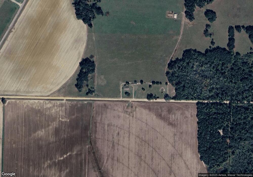
Map
Nearby Homes
- 113 Crooked Oak Ln
- 1545 Phillipsburg Rd
- 430 Cox Rd
- 000 Phillipsburg Rd
- 745 Harmony Church Rd
- 300 N First St
- 570 E Pine St
- 1203 Bellview Rd
- 000 Bellview Rd
- 356 E Main St
- 210 N First St
- 157 E Pine St
- 2835 Georgia 91
- 102 Bremond St
- US 27 Us Highway 27
- 000 Thompson Town Rd
- 721 E Crawford St
- 708 E Crawford St
- 74 Harmony Church Rd
- 1563 Ga Highway 27 N
- 1423 Phillipsburg Rd
- 1387 Phillipsburg Rd
- 1367 Phillipsburg Rd
- 1498 Phillipsburg Rd
- 1240 Phillipsburg Rd
- 1335 Phillipsburg Rd
- 105 Crooked Oak Ln
- 1315 Phillipsburg Rd
- 00 Crooked Oak Ln
- 0 Crooked Oak Ln Unit 8214536
- 106 Crooked Oak Ln
- 123 Crooked Oak Ln
- 130 Crooked Oak Ln
- 120 Crooked Oak Ln
- 1305 Phillipsburg Rd
- 1485 Phillipsburg Rd
- 1292 Phillipsburg Rd
- 102 Keaton Rd
- 106 Keaton Rd
- 1556 Phillipsburg Rd