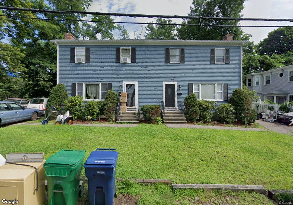
79 Curtis St Newton, MA 02461
Newton Highlands NeighborhoodEstimated Value: $1,274,032 - $2,033,000
6
Beds
4
Baths
2,496
Sq Ft
$614/Sq Ft
Est. Value
About This Home
This home is located at 79 Curtis St, Newton, MA 02461 and is currently estimated at $1,533,258, approximately $614 per square foot. 79 Curtis St is a home located in Middlesex County with nearby schools including Countryside Elementary School, Charles E Brown Middle School, and Newton South High School.
Ownership History
Date
Name
Owned For
Owner Type
Purchase Details
Closed on
Dec 31, 2023
Sold by
Jonasson
Bought by
7-9 Curtis Street Llc
Current Estimated Value
Purchase Details
Closed on
May 1, 1984
Bought by
J & J Rt
Create a Home Valuation Report for This Property
The Home Valuation Report is an in-depth analysis detailing your home's value as well as a comparison with similar homes in the area
Home Values in the Area
Average Home Value in this Area
Purchase History
| Date | Buyer | Sale Price | Title Company |
|---|---|---|---|
| 7-9 Curtis Street Llc | -- | None Available | |
| 7-9 Curtis Street Llc | -- | None Available | |
| J & J Rt | $86,000 | -- |
Source: Public Records
Mortgage History
| Date | Status | Borrower | Loan Amount |
|---|---|---|---|
| Previous Owner | J & J Rt | $220,000 |
Source: Public Records
Tax History Compared to Growth
Tax History
| Year | Tax Paid | Tax Assessment Tax Assessment Total Assessment is a certain percentage of the fair market value that is determined by local assessors to be the total taxable value of land and additions on the property. | Land | Improvement |
|---|---|---|---|---|
| 2025 | $8,101 | $826,600 | $591,100 | $235,500 |
| 2024 | $7,832 | $802,500 | $573,900 | $228,600 |
| 2023 | $7,479 | $734,700 | $462,100 | $272,600 |
| 2022 | $7,157 | $680,300 | $427,900 | $252,400 |
| 2021 | $6,715 | $624,100 | $392,600 | $231,500 |
| 2020 | $6,516 | $624,100 | $392,600 | $231,500 |
| 2019 | $6,095 | $583,300 | $366,900 | $216,400 |
| 2018 | $6,054 | $559,500 | $346,400 | $213,100 |
| 2017 | $5,708 | $513,300 | $317,800 | $195,500 |
| 2016 | $5,359 | $470,900 | $291,600 | $179,300 |
| 2015 | $5,110 | $440,100 | $272,500 | $167,600 |
Source: Public Records
Map
Nearby Homes
- 3 Glenmore Terrace Unit 2
- 1629 Centre St
- 1151 Walnut St Unit 205
- 1151 Walnut St Unit 405
- 1151 Walnut St Unit 207
- 1623-1625 Centre St
- 116 Upland Ave
- 1292 Walnut St
- 200 Lincoln St
- 1597 Centre St Unit 1597
- 1597 Centre St
- 1308 Walnut St
- 1077 Boylston St
- 17 Circuit Ave Unit 2
- 2 Raeburn Terrace
- 125 Oakdale Rd
- 35 Bradford Rd
- 35 Kingston Rd
- 250 Woodcliff Rd
- 671 Boylston St
- 7-9 Curtis St
- 7 Curtis St
- 3 Curtis St
- 901 Boylston St Unit 901
- 31 Winchester St
- 900-902 Boylston St
- 900 Boylston St Unit 902
- 42 Winchester St
- 40 Winchester St Unit 44
- 40 Winchester St Unit 1
- 49 Winchester St
- Route Massachusetts 9
- 896 Boylston St
- 68 Hartford St
- 68 Hartford St Unit 1
- 68 Hartford St Unit A
- 70 Hartford St
- 70 Hartford St Unit 1
- 50 Winchester St Unit 14
- 896 Boylston St