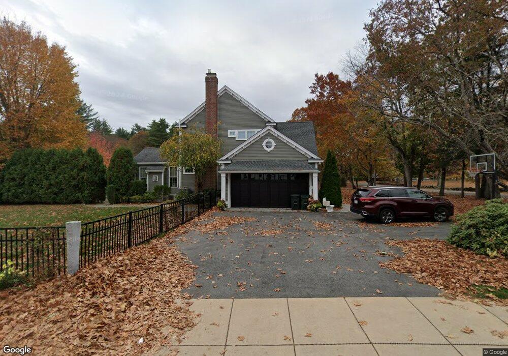
79 Curzon Mill Rd Newburyport, MA 01950
Estimated Value: $1,655,671 - $1,746,000
4
Beds
3
Baths
3,352
Sq Ft
$509/Sq Ft
Est. Value
About This Home
This home is located at 79 Curzon Mill Rd, Newburyport, MA 01950 and is currently estimated at $1,705,168, approximately $508 per square foot. 79 Curzon Mill Rd is a home located in Essex County with nearby schools including Francis T. Bresnahan Elementary School, Edward G. Molin Elementary School, and Rupert A. Nock Middle School.
Ownership History
Date
Name
Owned For
Owner Type
Purchase Details
Closed on
Nov 15, 2019
Sold by
Diluca Laura L and Koglin James W
Bought by
Laura L Diluca T
Current Estimated Value
Purchase Details
Closed on
Jul 28, 2005
Sold by
Amato Debra J and Amato Michael
Bought by
Koglin James W
Purchase Details
Closed on
Nov 15, 2000
Sold by
Cherry Hill Lp
Bought by
Amato Michael and Amato Debra J
Create a Home Valuation Report for This Property
The Home Valuation Report is an in-depth analysis detailing your home's value as well as a comparison with similar homes in the area
Home Values in the Area
Average Home Value in this Area
Purchase History
| Date | Buyer | Sale Price | Title Company |
|---|---|---|---|
| Laura L Diluca T | -- | -- | |
| Koglin James W | $753,000 | -- | |
| Amato Michael | $540,955 | -- |
Source: Public Records
Mortgage History
| Date | Status | Borrower | Loan Amount |
|---|---|---|---|
| Previous Owner | Amato Michael | $200,000 | |
| Previous Owner | Amato Michael | $395,779 |
Source: Public Records
Tax History Compared to Growth
Tax History
| Year | Tax Paid | Tax Assessment Tax Assessment Total Assessment is a certain percentage of the fair market value that is determined by local assessors to be the total taxable value of land and additions on the property. | Land | Improvement |
|---|---|---|---|---|
| 2025 | $14,714 | $1,535,900 | $499,000 | $1,036,900 |
| 2024 | $14,150 | $1,419,300 | $453,600 | $965,700 |
| 2023 | $12,702 | $1,182,700 | $394,500 | $788,200 |
| 2022 | $12,795 | $1,065,400 | $328,700 | $736,700 |
| 2021 | $12,677 | $1,002,900 | $299,000 | $703,900 |
| 2020 | $12,480 | $972,000 | $299,000 | $673,000 |
| 2019 | $12,714 | $972,000 | $299,000 | $673,000 |
| 2018 | $12,104 | $912,800 | $284,800 | $628,000 |
| 2017 | $11,949 | $888,400 | $271,400 | $617,000 |
| 2016 | $11,384 | $850,200 | $258,400 | $591,800 |
| 2015 | $11,342 | $850,200 | $258,400 | $591,800 |
Source: Public Records
Map
Nearby Homes
- 10 Clipper Way
- 231 Storey Ave
- 6 Woodman Way Unit 402
- 6 Woodman Way Unit 121
- 8 Brown Ave
- 237 Storey Ave
- 6 Boyd Dr
- 43 Ferry Rd
- 15 Beacon St
- 11 Beacon St
- 12 Roosevelt Place
- 60 Merrimac St Unit 907
- 60 Merrimac St Unit 604
- 60 Merrimac St Unit 508
- 7 Peters Rd
- 16 Newhall Ln
- 19 Cutter Ln Unit 19
- 568 Merrimac St
- 17 Lavalley Ln
- 42 Myrtle Ave
- 43 Daniel Lucy Way
- 81 Curzon Mill Rd
- 77 Curzon Mill Rd
- 41 Daniel Lucy Way
- 83 Curzon Mill Rd
- 39 Daniel Lucy Way
- 75 Curzon Mill Rd
- 36 Daniel Lucy Way
- 85 Curzon Mill Rd
- 37 Daniel Lucy Way
- 34 Daniel Lucy Way
- 73 Curzon Mill Rd
- 35 Daniel Lucy Way
- 32 Daniel Lucy Way
- 71 Curzon Mill Rd
- 33 Daniel Lucy Way
- 45 Pine Hill Rd
- 10 William Hall Dr
- 12 William Hall Dr
- 69 Curzon Mill Rd