Estimated Value: $110,000 - $152,350
Studio
--
Bath
--
Sq Ft
9,627
Sq Ft Lot
About This Home
This home is located at 79 Emily Cir, Ward, AR 72176 and is currently estimated at $131,175. 79 Emily Cir is a home located in Lonoke County with nearby schools including Ward Central Elementary School, Cabot Middle School North, and Cabot Junior High North.
Ownership History
Date
Name
Owned For
Owner Type
Purchase Details
Closed on
May 31, 2006
Bought by
Security F S E
Current Estimated Value
Purchase Details
Closed on
Jun 6, 1996
Bought by
Corrected Corrected B and Corrected A
Purchase Details
Closed on
May 20, 1996
Bought by
Plat and Plat B
Create a Home Valuation Report for This Property
The Home Valuation Report is an in-depth analysis detailing your home's value as well as a comparison with similar homes in the area
Home Values in the Area
Average Home Value in this Area
Purchase History
| Date | Buyer | Sale Price | Title Company |
|---|---|---|---|
| Security F S E | $995,000 | -- | |
| Corrected Corrected B | -- | -- | |
| Plat | -- | -- |
Source: Public Records
Tax History
| Year | Tax Paid | Tax Assessment Tax Assessment Total Assessment is a certain percentage of the fair market value that is determined by local assessors to be the total taxable value of land and additions on the property. | Land | Improvement |
|---|---|---|---|---|
| 2025 | $63 | $1,240 | $1,000 | $240 |
| 2024 | $63 | $1,240 | $1,000 | $240 |
| 2023 | $63 | $1,240 | $1,000 | $240 |
| 2022 | $63 | $1,240 | $1,000 | $240 |
| 2021 | $63 | $1,240 | $1,000 | $240 |
| 2020 | $64 | $1,260 | $1,000 | $260 |
| 2019 | $64 | $1,260 | $1,000 | $260 |
| 2018 | $64 | $1,260 | $1,000 | $260 |
| 2017 | $60 | $1,260 | $1,000 | $260 |
| 2016 | $64 | $1,260 | $1,000 | $260 |
| 2015 | $62 | $1,310 | $1,000 | $310 |
| 2014 | $67 | $1,310 | $1,000 | $310 |
Source: Public Records
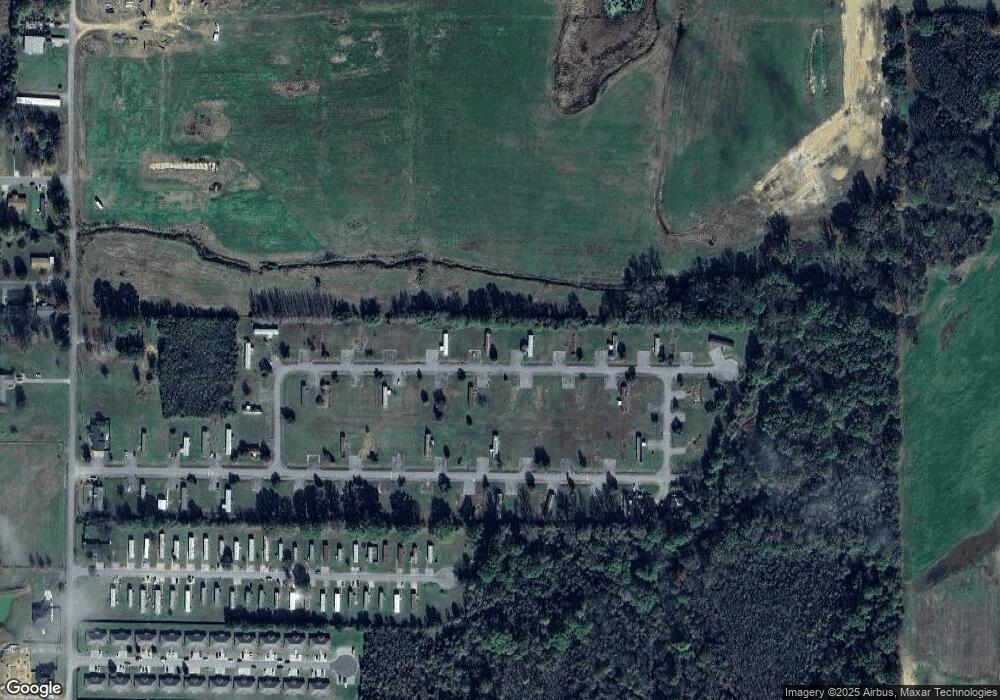
Map
Nearby Homes
- 510 Moonlight Graham Blvd
- 430 Moonlight Graham Blvd
- 371 Moonlight Graham Blvd
- 460 Moonlight Graham Blvd
- 490 Moonlight Graham Blvd
- 520 Moonlight Graham Blvd
- 391 Moonlight Graham Blvd
- 401 Moonlight Graham Blvd
- 351 Moonlight Graham Blvd
- 361 Moonlight Graham Blvd
- 381 Moonlight Graham Blvd
- 341 Moonlight Graham Blvd
- 450 Moonlight Graham Blvd
- 0 Libra Ln
- 14 Libra Ln
- 21 Libra Ln
- 27 Libra Ln
- 25 Libra Ln
- Lot 7 Libra Ln
- Lot 8 Libra Ln
Your Personal Tour Guide
Ask me questions while you tour the home.