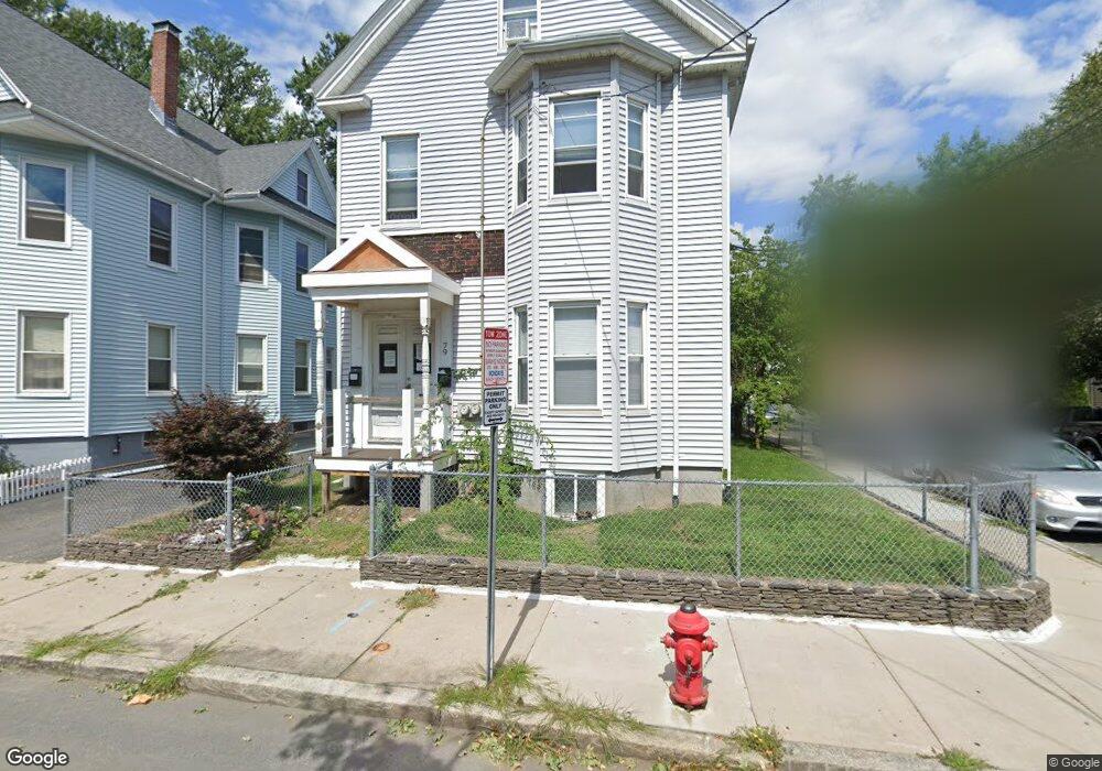
79 Flint St Somerville, MA 02145
East Somerville NeighborhoodEstimated Value: $1,079,000 - $1,184,000
5
Beds
2
Baths
2,508
Sq Ft
$453/Sq Ft
Est. Value
About This Home
This home is located at 79 Flint St, Somerville, MA 02145 and is currently estimated at $1,136,913, approximately $453 per square foot. 79 Flint St is a home located in Middlesex County with nearby schools including Somerville High School, Prospect Hill Academy Upper Elementary Campus, and Bright Future Educare Center.
Ownership History
Date
Name
Owned For
Owner Type
Purchase Details
Closed on
Aug 30, 2024
Sold by
Bosses Stanley
Bought by
Forest Rt and Bosses
Current Estimated Value
Purchase Details
Closed on
Mar 3, 2000
Sold by
Osgood Rockland and Dalrymple Deanna
Bought by
Bosse Stanley
Home Financials for this Owner
Home Financials are based on the most recent Mortgage that was taken out on this home.
Original Mortgage
$185,000
Interest Rate
8.21%
Mortgage Type
Purchase Money Mortgage
Create a Home Valuation Report for This Property
The Home Valuation Report is an in-depth analysis detailing your home's value as well as a comparison with similar homes in the area
Home Values in the Area
Average Home Value in this Area
Purchase History
| Date | Buyer | Sale Price | Title Company |
|---|---|---|---|
| Forest Rt | -- | None Available | |
| Forest Rt | -- | None Available | |
| Bosse Stanley | $235,000 | -- |
Source: Public Records
Mortgage History
| Date | Status | Borrower | Loan Amount |
|---|---|---|---|
| Previous Owner | Bosse Stanley | $183,000 | |
| Previous Owner | Bosse Stanley | $185,000 | |
| Previous Owner | Bosse Stanley | $109,000 |
Source: Public Records
Tax History
| Year | Tax Paid | Tax Assessment Tax Assessment Total Assessment is a certain percentage of the fair market value that is determined by local assessors to be the total taxable value of land and additions on the property. | Land | Improvement |
|---|---|---|---|---|
| 2025 | $9,936 | $910,700 | $401,000 | $509,700 |
| 2024 | $9,275 | $881,700 | $401,000 | $480,700 |
| 2023 | $9,031 | $873,400 | $401,000 | $472,400 |
| 2022 | $8,443 | $829,400 | $381,900 | $447,500 |
| 2021 | $8,060 | $791,000 | $376,700 | $414,300 |
| 2020 | $7,604 | $753,600 | $362,200 | $391,400 |
| 2019 | $7,110 | $660,800 | $300,500 | $360,300 |
| 2018 | $6,208 | $548,900 | $240,300 | $308,600 |
| 2017 | $5,954 | $510,200 | $226,700 | $283,500 |
| 2016 | $5,414 | $432,100 | $159,300 | $272,800 |
| 2015 | $5,411 | $429,100 | $158,400 | $270,700 |
Source: Public Records
Map
Nearby Homes
- 84 Cross St
- 29 Gilman St
- 19 Everett Ave
- 129 Glen St Unit B
- 43 Cross St
- 74 Gilman St Unit 1
- 142 Cross St
- 14 Bonair St Unit 14
- 20 Alston St
- 16 Alston St Unit 16
- 14 Hamlet St Unit C
- 24 Rush St Unit E
- 5 Brook St
- 25 Alston St
- 24 Glen St Unit 1
- 34 Franklin Ave
- 206 Pearl St Unit 3
- 76 Franklin St
- 11 Macarthur St Unit B
- 11 Macarthur St Unit A
- 79 Flint St Unit 1
- 79 Flint St Unit 3
- 79 Flint St Unit 2
- 79 Flint St Unit A
- 83 Flint St
- 83 Flint St Unit 1
- 83 Flint St Unit 2
- 10 Flint Ave
- 87 Flint St
- 87 Flint St Unit 2
- 69 Flint St
- 69 Flint St Unit 1
- 76 Flint St
- 76 Flint St
- 76 Flint St Unit 3
- 76 Flint St Unit 2
- 76 Flint St Unit 1
- 5 Flint Ave
- 12 Flint Ave
- 67 Flint St
Your Personal Tour Guide
Ask me questions while you tour the home.