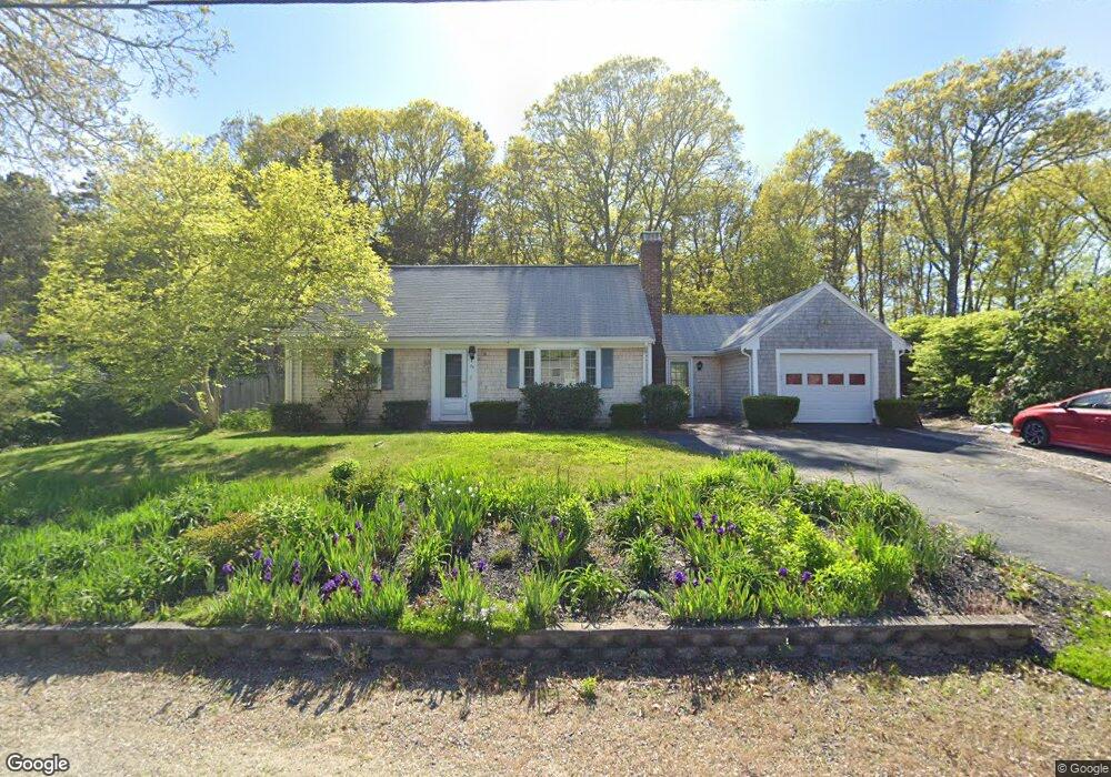
79 Freeman Rd Yarmouth Port, MA 02675
Yarmouth Port NeighborhoodEstimated Value: $580,450 - $666,000
5
Beds
3
Baths
1,224
Sq Ft
$499/Sq Ft
Est. Value
About This Home
This home is located at 79 Freeman Rd, Yarmouth Port, MA 02675 and is currently estimated at $610,363, approximately $498 per square foot. 79 Freeman Rd is a home located in Barnstable County with nearby schools including Dennis-Yarmouth Regional High School, St. Pius X. School, and Trinity Christian Academy of Cape Cod.
Create a Home Valuation Report for This Property
The Home Valuation Report is an in-depth analysis detailing your home's value as well as a comparison with similar homes in the area
Home Values in the Area
Average Home Value in this Area
Tax History Compared to Growth
Tax History
| Year | Tax Paid | Tax Assessment Tax Assessment Total Assessment is a certain percentage of the fair market value that is determined by local assessors to be the total taxable value of land and additions on the property. | Land | Improvement |
|---|---|---|---|---|
| 2025 | $3,699 | $522,400 | $190,100 | $332,300 |
| 2024 | $3,293 | $446,200 | $148,100 | $298,100 |
| 2023 | $3,259 | $401,800 | $130,700 | $271,100 |
| 2022 | $2,969 | $323,400 | $118,800 | $204,600 |
| 2021 | $2,983 | $312,000 | $124,700 | $187,300 |
| 2020 | $2,967 | $296,700 | $132,000 | $164,700 |
| 2019 | $2,795 | $276,700 | $132,000 | $144,700 |
| 2018 | $2,621 | $254,700 | $110,000 | $144,700 |
| 2017 | $2,552 | $254,700 | $110,000 | $144,700 |
| 2016 | $2,454 | $245,900 | $101,200 | $144,700 |
| 2015 | $2,447 | $243,700 | $90,600 | $153,100 |
Source: Public Records
Map
Nearby Homes
- 209 Union St
- 32 Deveau Ln
- 50 Cottonwood St
- 10 Balsam Way
- 882 W Yarmouth Rd
- 34 Ridgewood Dr
- 933-935 W Yarmouth Rd
- 607 W Yarmouth Rd
- 17 Trowbridge Path
- 8 Rowley Ln
- 560 W Yarmouth Rd
- 16 Warren Rd Unit 16
- 16 Warren Rd
- 24 Minnetuxet Way
- 72 Quartermaster Row
- 0 Forsyth Ave
- 371 Route 6a
- 33 Sparrow Way
- 1 Barnacle Rd
- 105 Old Hyannis Rd